A Quest into the Wild
The Sawtooth (Mt. Bierstadt & Mt. Evans)
Distance: 11.2 miles (out and back) Elevation Gain: 4,335 ft (total gain)
Max Elevation: 14,265 ft Min. Elevation: 11,473 ft
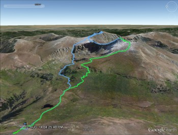
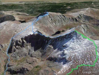
We did Mount Bierstadt last year, that route is shown in green in the above Google Earth maps. The blue shows the new route we took to do the Bierstadt-Sawtooth-Evans combo. On the right is a closer look at the Bierstadt-Sawtooth-Evans combo.
After repeated checks of the weather on Mountain Forecast up until 4:00 am on Saturday morning, we determined it was the perfect day to attempt the infamous Sawtooth route that connects 14ers Mt. Bierstadt and Mt. Evans. Nice weather is critical for a successful trip across the Sawtooth and neither of us were willing to take a chance being stranding on jagged rocks above 13,000 feet in a thunderstorm. With a green light on weather, we left the house in the dark shortly after 4:00 am and began the drive to Georgetown and up Guanella Pass. We approached the trailhead for Mt. Bierstadt about 15 min. to 6:00 am and already several cars and groups were prepping to go up Mt. Bierstadt which is one of the easier 14ers on the Front Range. We enjoyed a climb up this mountain last September. This time we had a much longer, intense day planned.
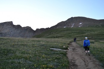
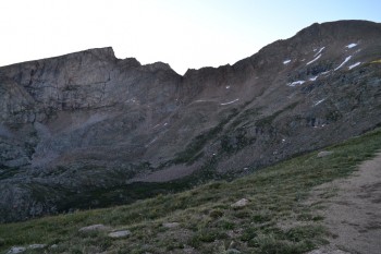
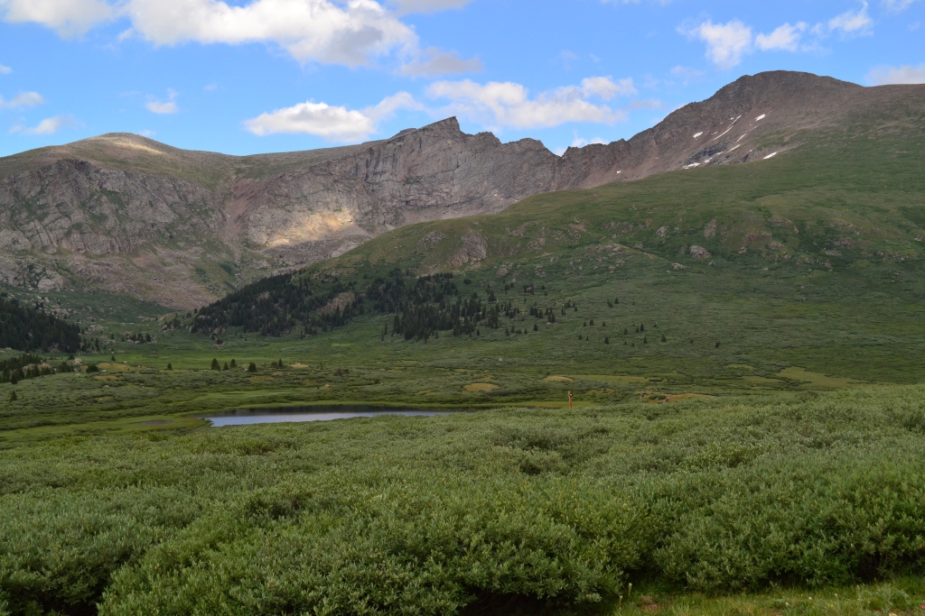
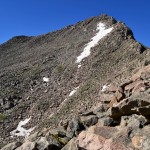
The Sawtooth is a great traverse that connects Mt. Bierstadt to Mt. Evans (after quite a bit more hiking). It gets its name from several aretes (jagged knife-like rock formations) that line up to look like the teeth of a saw. The traverse is a class 3 route with some class 2+ scattered throughout. The route can be crossed either direction, but most people, including us, opted to start at the summit of Mt. Bierstadt so we had fresh legs for the traverse. Our early morning climb up Bierstadt was a warm-up hike for what lay ahead for the rest of the day. Frost blanketed the ground and a chill hung in the air as we began. We paused for a few photos, but managed to summit in two uneventful hours. Seen below are early morning photos of the Sawtooth as we made our way toward her.
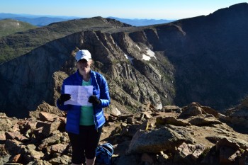
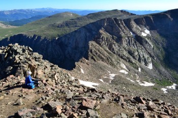
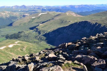
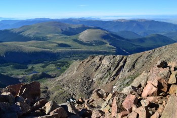
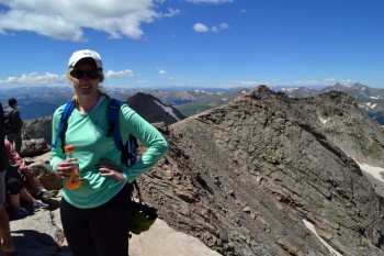
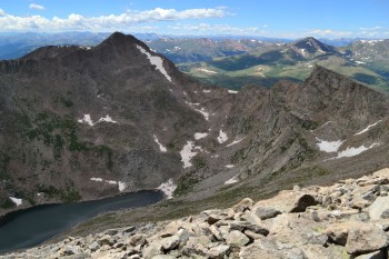
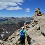
When we reached the summit we paused for 15 min. or so to rest, take photos, and snack. There were several people on the summit already. We found a quiet spot towards the north side of the peak that looked down towards the traverse to mentally prep. Seen below are photos from the summit before we started the Sawtooth. Notice the Sawtooth in the background.
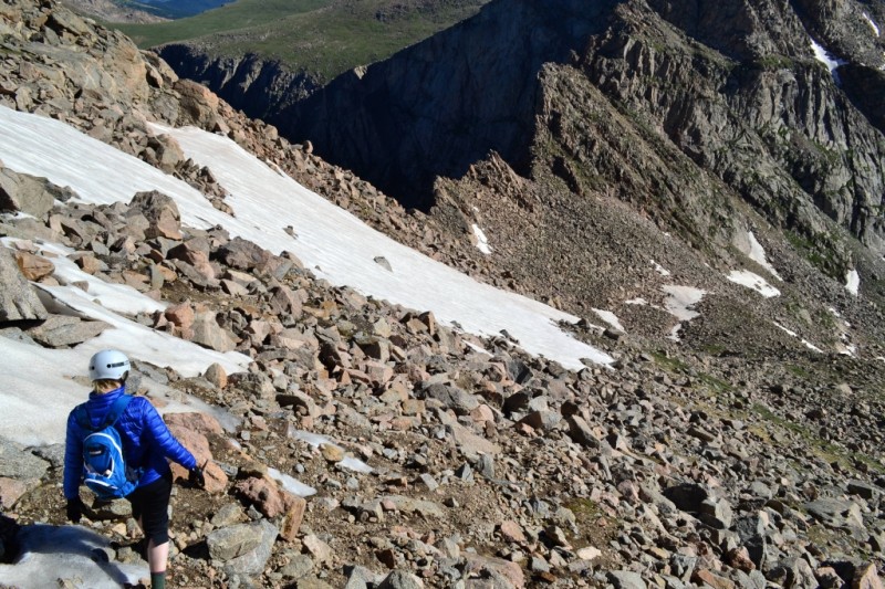
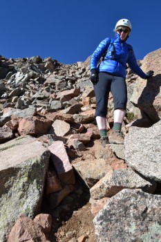
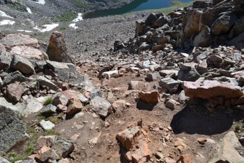
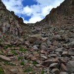
We donned our helmets and proceeded with our next task of down climbing the steep incline towards the saddle. There was much screw and loose dirt until we reached the boulders. Many sections here required us to lower ourselves waist level down to reach the next rock. While the scree was annoying, bouldering was a rather fun challenge. Unfortunately, due to a very large snow drift located higher on the traverse, we were forced to downclimb a little lower than we wanted to on the route. Not a huge deal, but it meant having to climb back up a bit more later. Seen below are photos of the initial descent of the traverse looking downward as well as back up to the summit of Mt. Bierstadt.
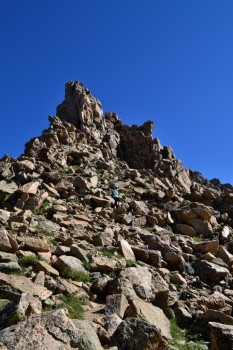
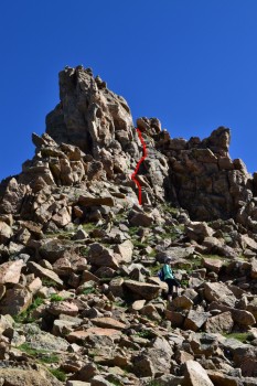
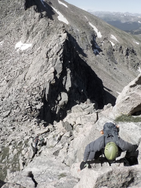
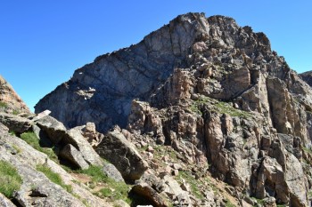
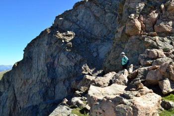
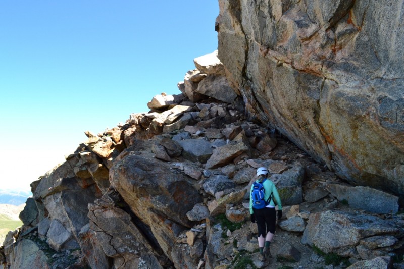
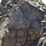
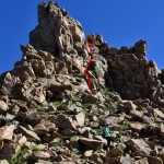
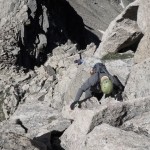
Once we reached the saddle, we faced our next obstacle. Midway between the traverse, climbers are greeted with a large gendarme (spike rock/isolated spire found on a ridge). It is the most challenging portion of the climb requiring solid class three (a fall would hurt very badly) moves to get up and over the top. Nonetheless, if you are not in the mood for the challenge there is an alternative route that goes along the right side of the pinnacle that is just class 2. We wanted a nice challenge, so opted for the direct up and over climb. The moves required good balance and arm strength, but this climbing portion was short. Seen below are photos of the gendarme and climb up. Yeah…it was a bit steep…The last photo displays the remaining route on the east side of the traverse.
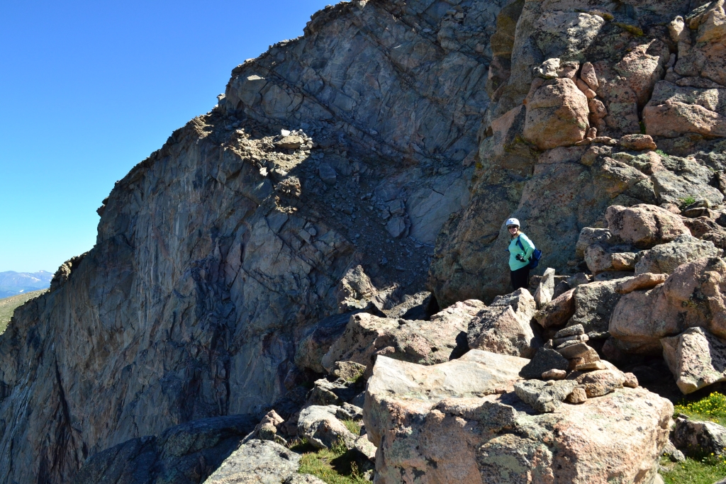
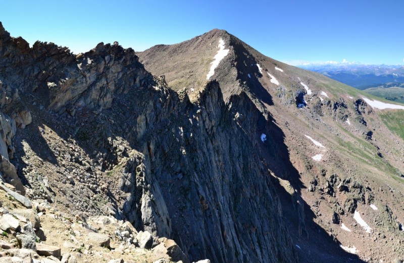
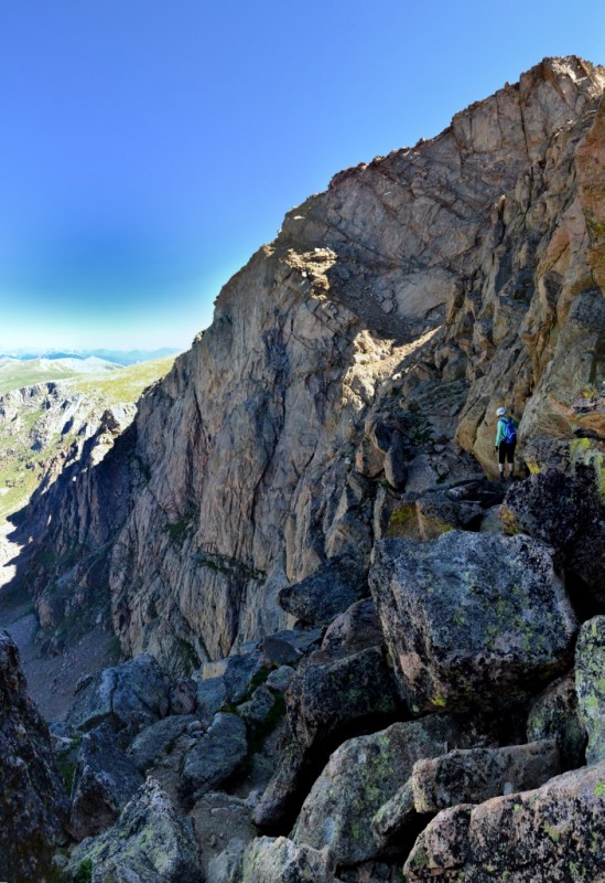
We were excited to have gotten safely through this crux and were ready for the next challenge, the ledges. This was more of a mental challenge than a physical one due to the staggering exposure. After the gendarme, we followed the traverse to a notch that leads to the west side of the sawtooth. Yep, the side of the traverse that you can see as you hike up Bierstadt. The side that greets hikers and climbers with sheer cliffs that drop a thousand below to the valley. Luckily, there is a mostly decent path that follows along the traverse and steadily upwards. Most of the path was at least 4 feet wide. Seen below are photos of the west side of the traverse and a video clip.
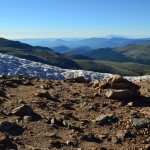
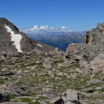
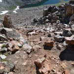
After traversing this narrow passage way, we began to climb back up via a narrow talus ramp. This was probably the most challenging portion because the beginning of the path was steep and full of loose rock and dirt. We were very anxious to get up and over at this point. Fortunately, as you ascend higher, the path gives way to another option closer to the wall that contains a bit more solid rock to grip on to. Overall, there isn’t any real danger to falling here if you are wearing proper footwear and taking it slow and steady. Getting over the mental hurdle is by far the most challenging, and probably the biggest risk to one’s safety. After this, we were home free on a wide open field. There is no trail here, but we easily wandered toward West Evans and weaved our way through the boulders interspersed throughout the mountaintop meadow. Seen below is a photo looking back on Mt. Bierstadt and the Sawtooth. We came from just above the snow drift. We felt a sense of accomplishment as we gazed back on our completed path.
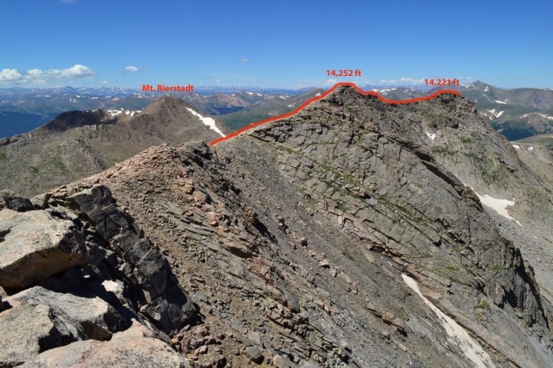
We soon thereafter reconnected with a trail to West Evans and ran into several other hiking groups. Naively, we figured Mt. Evans (east, true summit) was just around the corner. Little did we know we had a long class 2 traverse over to the summit and observatory. Once the route reaches a notch after coming up from the end of the Sawtooth the trail drops down and moves alongside the West Ridge of Evans. We both decided to take what looked like a class 3 route that we thought would circumvent and then reconvene with the main trail without losing any elevation. So, we both took the high road and got some more practice scrambling. This route hits two more 14,000 ft. “peaks” before hitting the main Evan’s summit. Below is a look back from the summit of Evans at the West Ridge, the peak marked 14,252 ft is sometimes called “West Evans.”
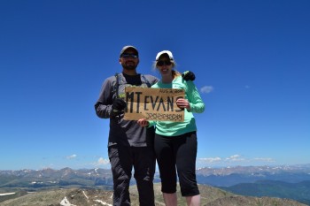
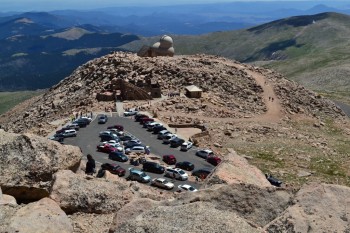
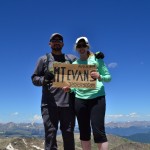
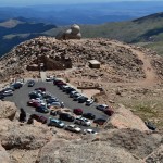
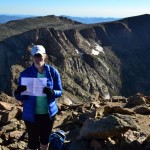
For those that are not familiar, Mt. Evans is accessible by car. In fact, it boasts the highest paved road in America. The summit has bathrooms, a storm shelter, observatory, large parking lot, and what looked to be a gift shop. It was quite overwhelming to be honest, when we reached Mt. Evans. Tourists were everywhere. The summit was quite crowded. It was weird to have worked so hard to get there, and then be surrounded by tons of people who walked 200 feet from their cars. However, it was the first time we had ever gotten to have our picture taken together on a summit. Some really nice people offered to take our photo and even lent us their summit sign. Seen below are photos from Mt. Evans.
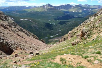
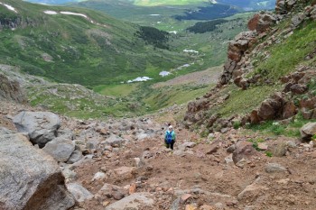
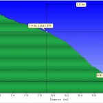
We then began the long slog back across the traverse to the original meadow right past the sawtooth exit. We had previously placed waypoints into our GPS that led us right to the gully. We thought we were home free at this point, but soon realized getting down the gully was no easy task. There was a trail, but it was very steep and loose (average 43% grade). We picked our way slowly and carefully down the chute through the dirt and scree. It honestly seemed to take forever. The path loses 1,726 ft. in 1 mile according to our GPS. Trekking poles would have come in handy at the gully.
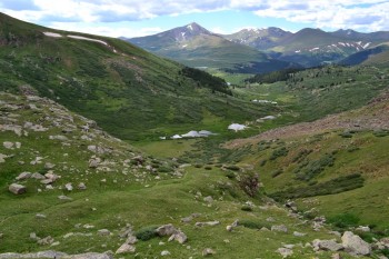
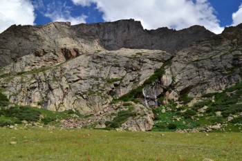
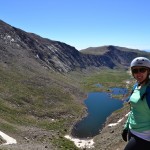
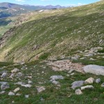
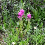
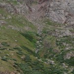
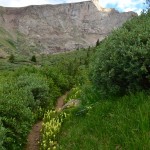
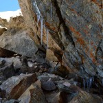
We finally reached the valley, and proceeded onto nice trail for a brief reprieve. We crossed a beautiful meadow. Flowers were in full bloom everywhere, and a gorgeous waterfall splashed the valley wall behind us. Things were right again in our hiking world. Seen below are photos of the gully and valley.
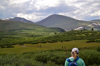
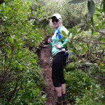
We paused for a pop-tart, since the visible parking lot looked extremely far away. The path led us now into the dreaded willows. There was a trail, but barely and it led straight through small ponds and smelly mud at times. The willows were often taller then we were. At times, we couldn’t see where we were or where we were headed. It made for an interesting adventure. If only the mud had not been there.
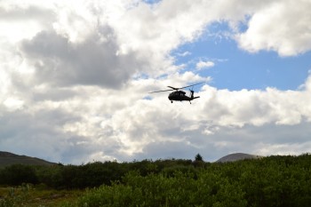
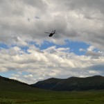
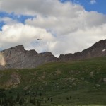
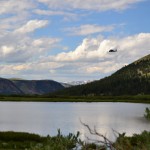
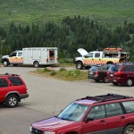
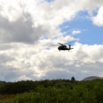
At some point in the willows, we looked upward in response to a loud noise. A blackhawk helicopter was flying right above us. (We felt like we were in Vietnam or some war zone for a moment.) The chopper flew towards the summit of Mt. Bierstadt, and we now knew someone was in trouble and needed mountain rescue. We found out later in the news that a women was having respiratory issues near the summit of Bierstadt. Seen below are photos of the willows and the chopper (check out the gallery for more pictures of the chopper).
The willows lead back to the standard Bierstadt trail just east of Scott Gomer Creek, the creek you have to cross to get to Bierstadt. Thus, we made the creek crossing one more time and were about three-quarters of a mile from the parking lot. It had turned into a very pretty day and we were very happy to be back at the car. We looked back at Bierstadt, the Sawtooth, and the Gully and smiled at our accomplishment.
Major points and advice from this trip:
1. Start very early. The trip took us longer than we anticipated due to the long class two traverse to get to Mt. Evans and the slow going down the steep gully and mud filled willows.
2. Gaiters would be helpful in the willows, but aren’t necessary. The mud came up past our ankles at certain points and there are a few water crossings that you have to jump.
3. Trekking poles are very helpful on this hike in the gully and on the traverse to Mt. Evans. However, you need to have a way to secure them to your pack so your hands are free to climb if you plan on doing the Gendarme or on other class 3 segments. (They are also useful for icy segments.)
4. Go slow and take your time. It isn’t worth it to break something or fall. Many sections are slippery and steep, watch your footing.
5. Have fun!





Mike and I enjoyed reading and hearing about this exciting hike! You two are inspiring!
Pingback: Mount Bierstadt – Sunset Hike June 25th 2016 – Take a Walk
I’m from Bierstadt, a suburb town of the capital town of Wiesbaden in Germany. I have to do this peak in honor of my
home town. Thanks for the detailed traverse description. I’m sure I will enjoy this hike too. – Ralph