Take a Walk
A Quest into the Wild
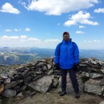
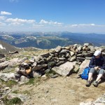
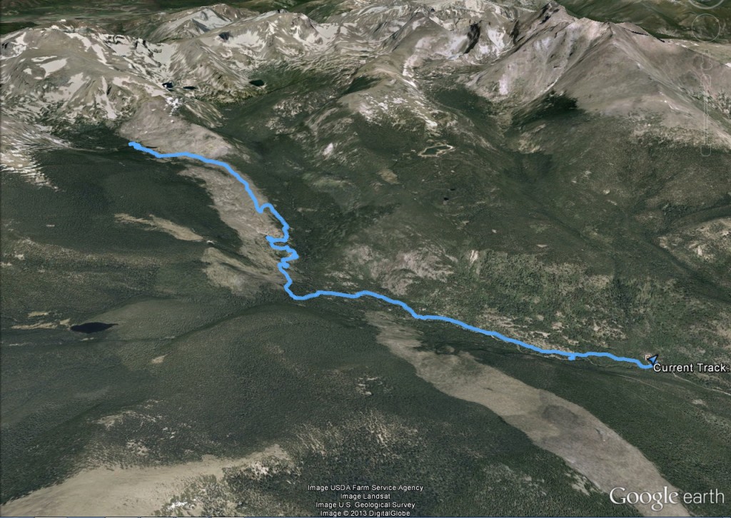
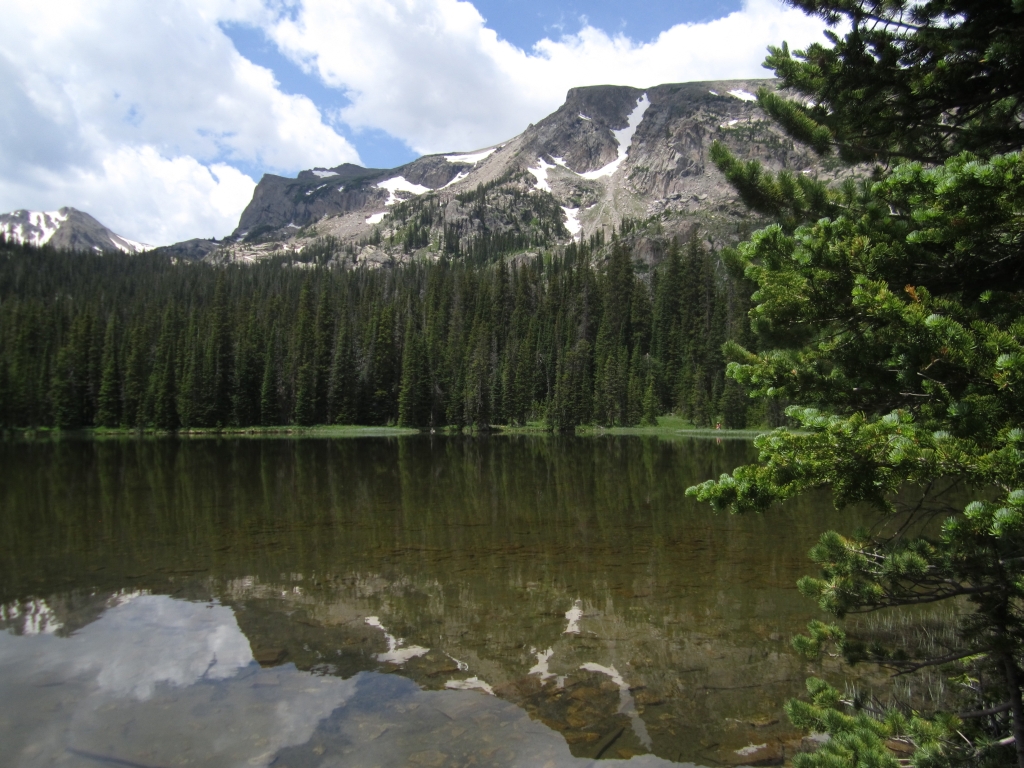
Mt. Galbraith Park Loop: Golden, CO
Distance: 4.34 miles (lollipop; exploring) Elevation Gain: 1,264 ft (total) 950 ft (net)
Max Elevation: 7,228 ft Min. Elevation: 6,278 ft

“Keep Calm and Hike On” Hiking Aphorism
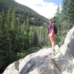
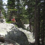
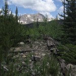
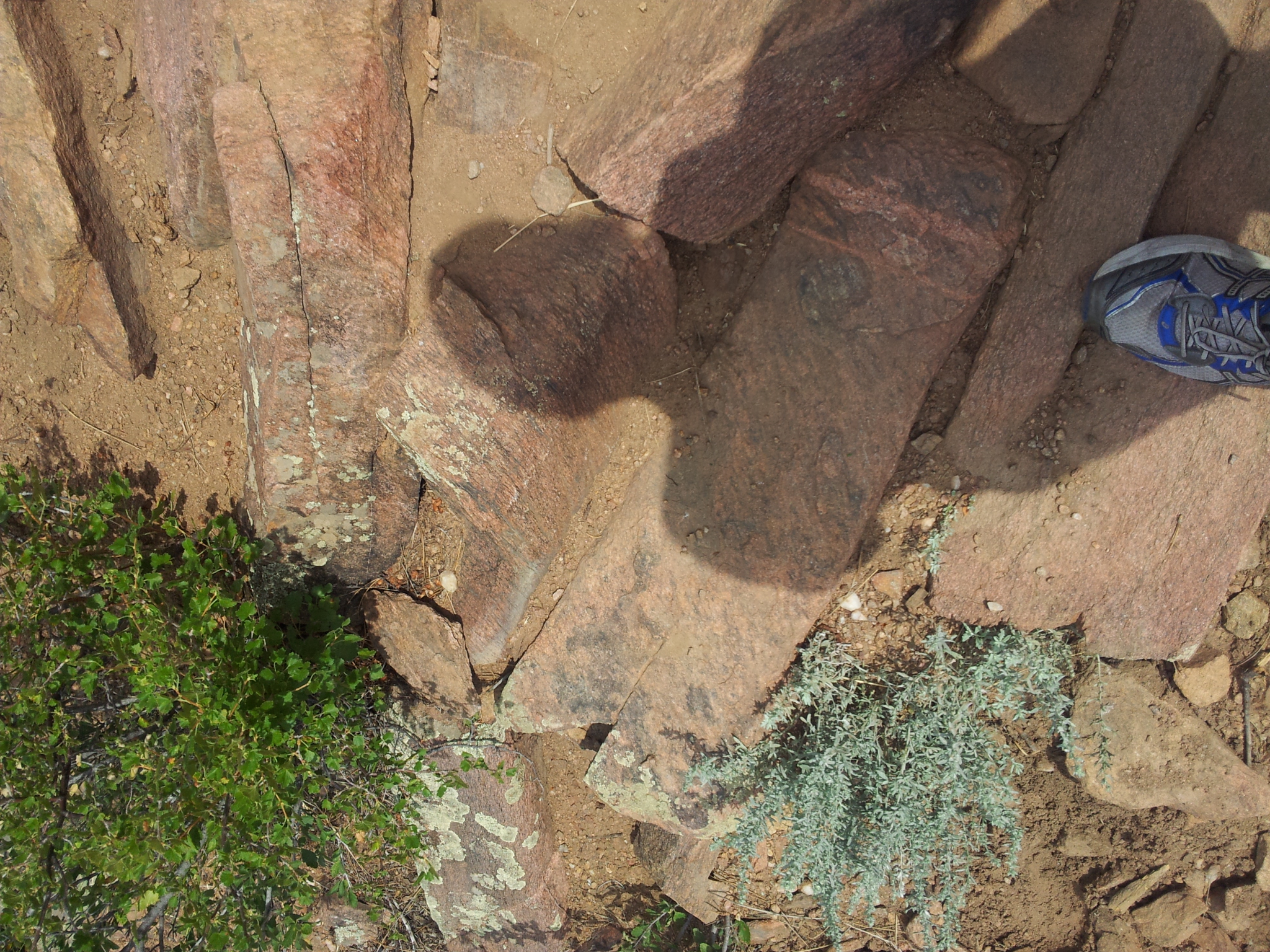
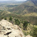
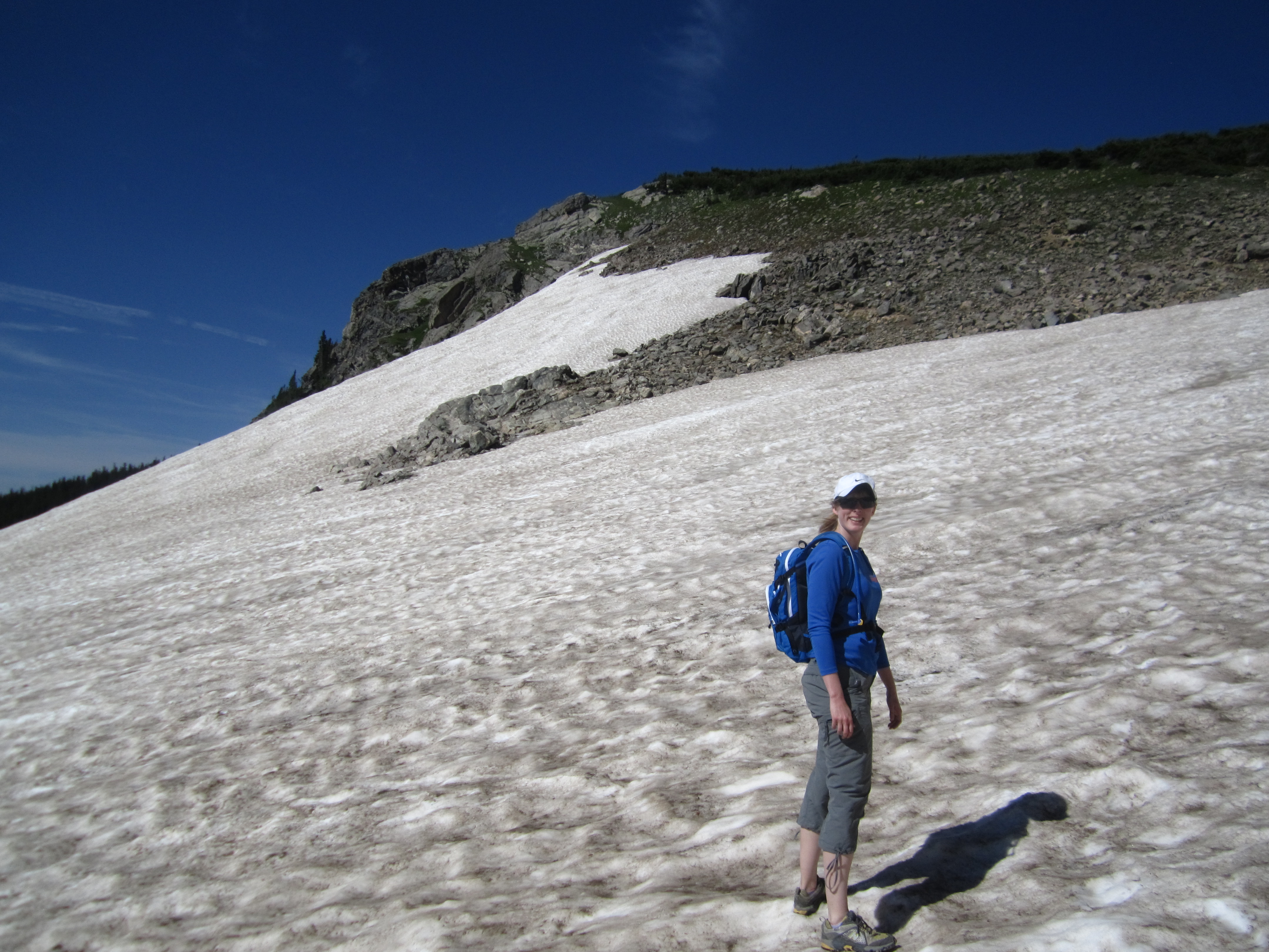
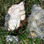
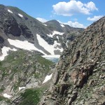
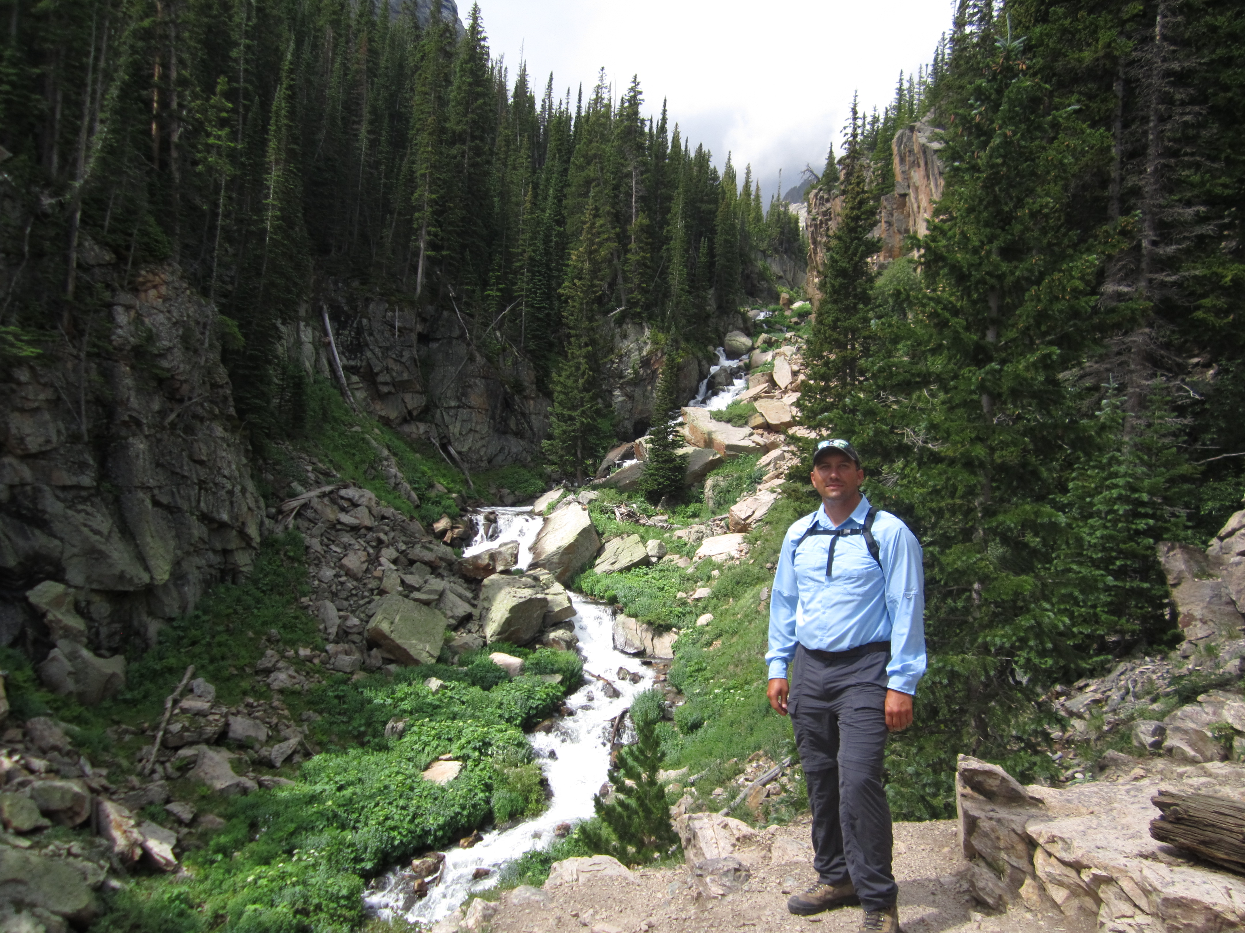
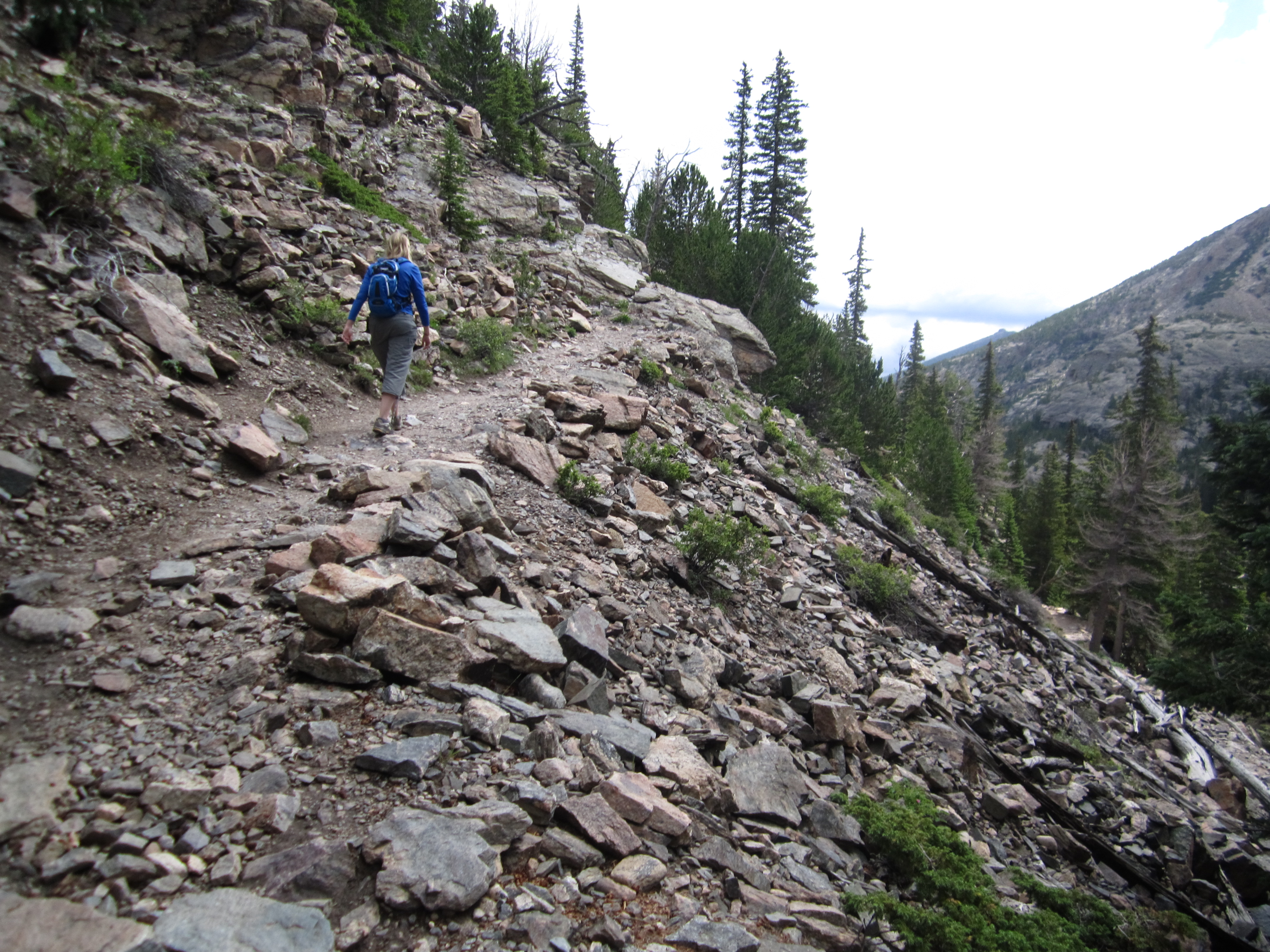
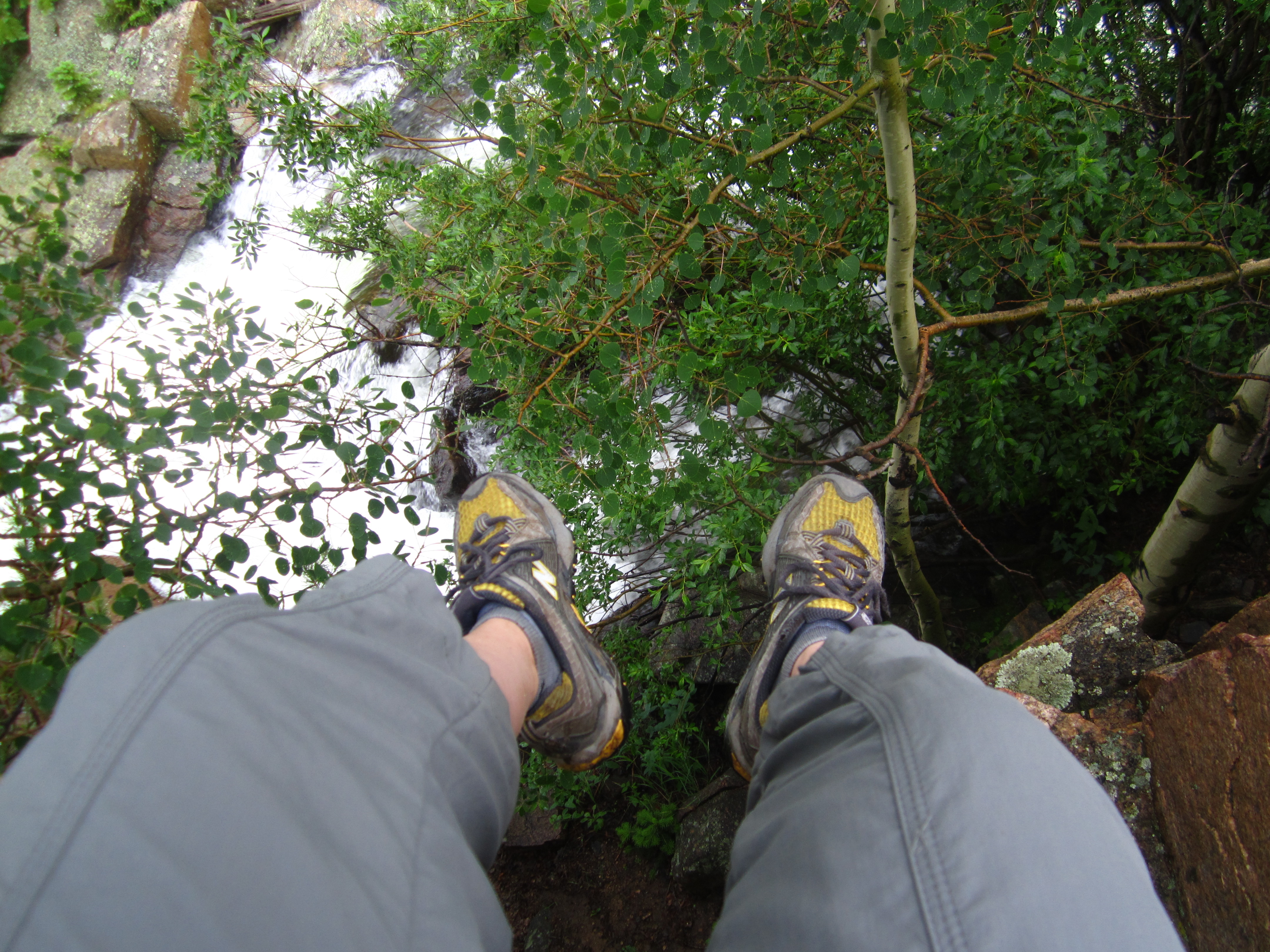
While so many of our hikes have taken us into high elevation, critters of the slithering kind have been placed in the backs of our minds the last several months. Instead of watching our footing around rocks and boulders, we’ve been directing our eyes to the hillsides for mountain lions or the woods for black bears. As we hiked back down the Cedar Gulch Trail after completing our loop of Mt. Galbraith, we were shocked when warned with the distinct foreboding sound of a rattler and sight of the greenish brown patterns that color the skin of a western prairie rattlesnake. It’s been said that the first person that passes one of these snakes will most likely walk by without ever knowing he or she passed the snake. The second person will not be so lucky. And so following the rattle and hiss, a shout was heard from Thomas who was a mere foot away from this foothills dweller. Not wanting to be any closer to the rattlesnake, Thomas jumped to the other side of the trail. While in theory this would seem to solve the problem; and, while in theory, Thomas did remove himself from the snake’s path; the reality was that the trail is on a four foot wide ridge whose edge backs up to a long, steep hillside. After the leap, Thomas somersaulted over the edge and rolled a moment before settling in the dust and shrubbery a few feet below the trail. While fortunately safe from snakebite, he was left with a hurt foot. Seen below are pictures of the Cedar Gulch Trail portion that this incident occurred. The rightmost picture is a prairie rattlesnake (Crotalus viridis) which we took from the Denver Zoo, since for safety reasons we were not able to get a picture of the prairie rattlesnake we encountered.


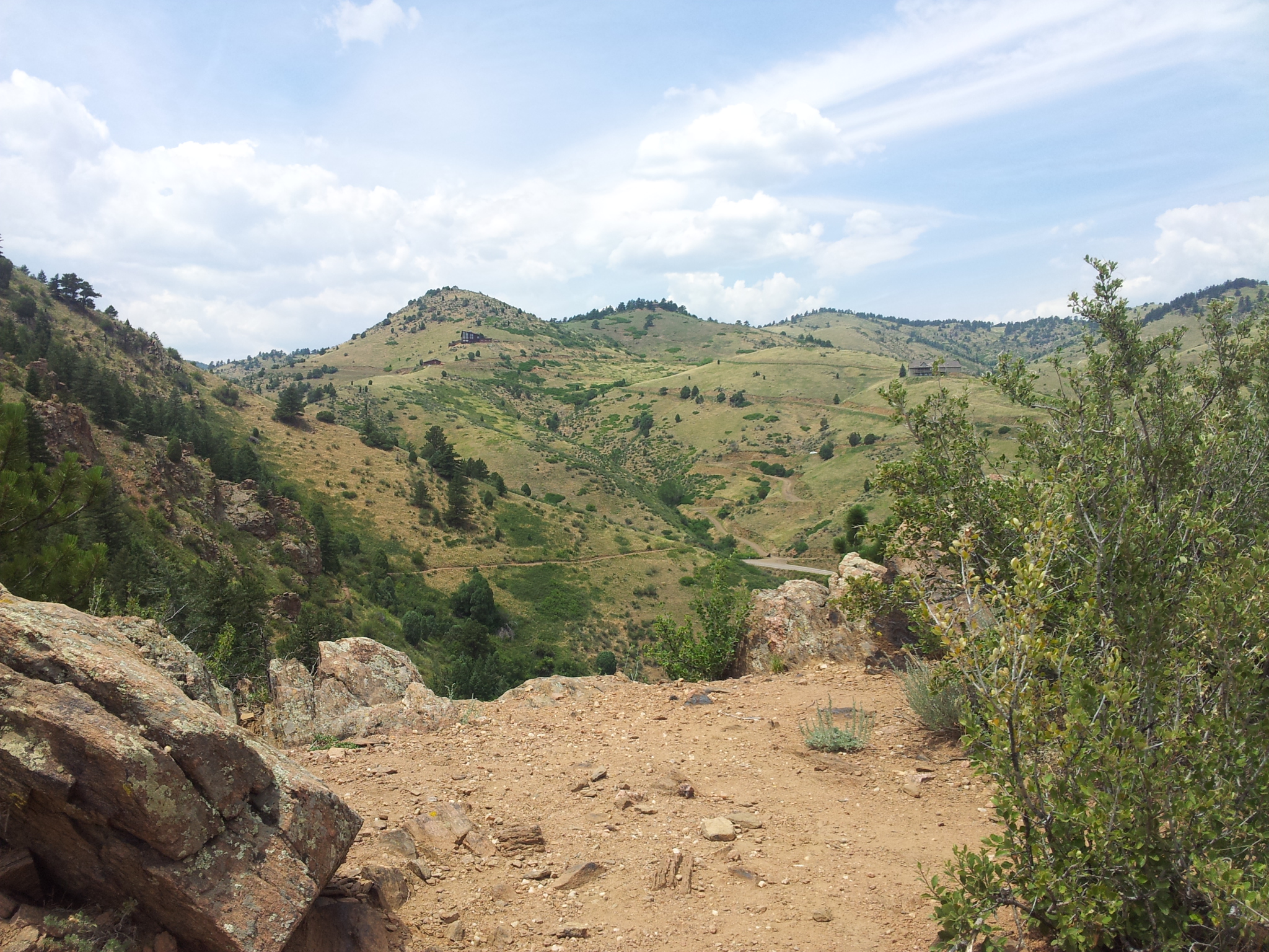
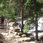
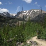
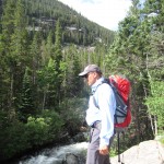
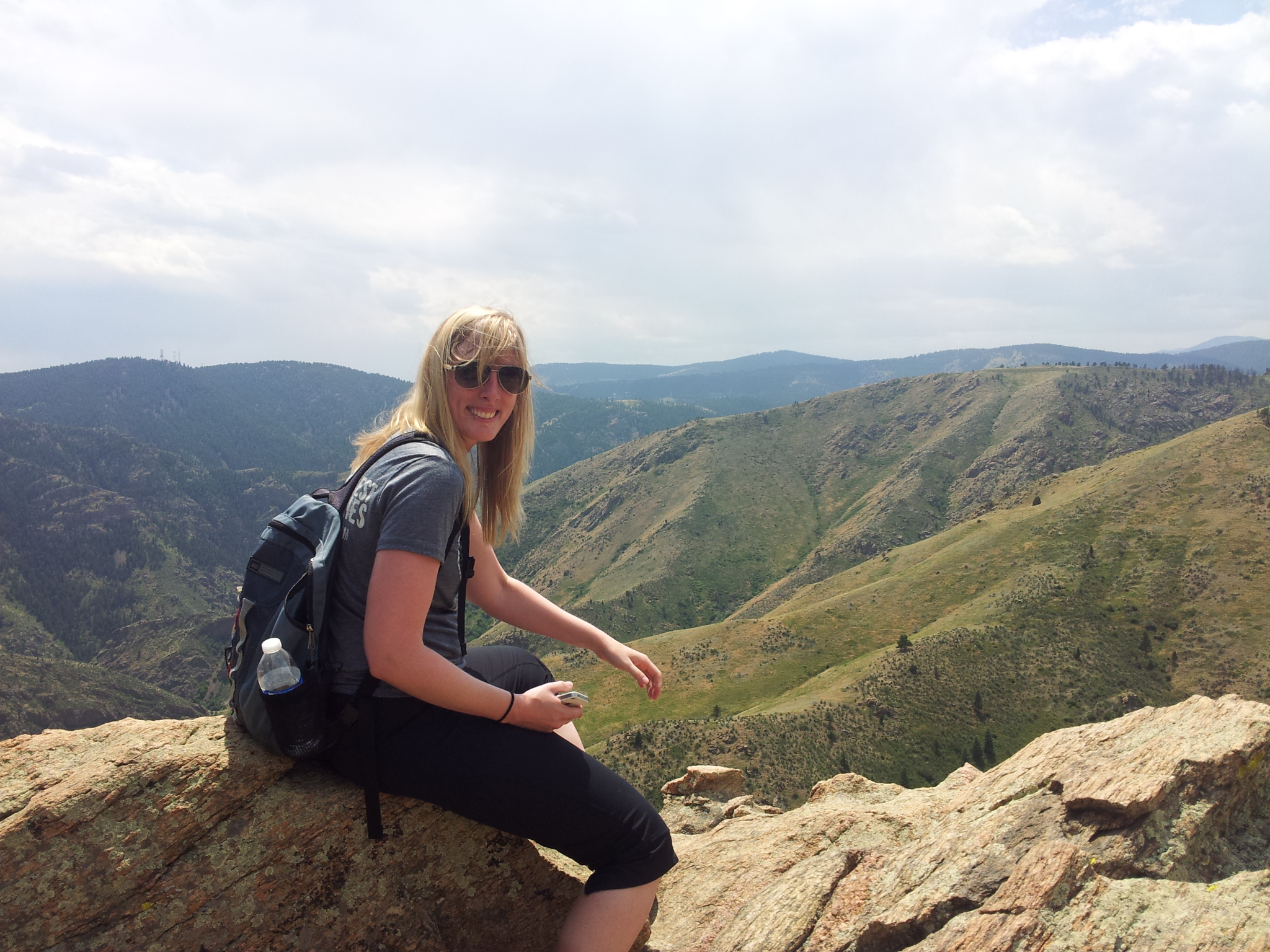
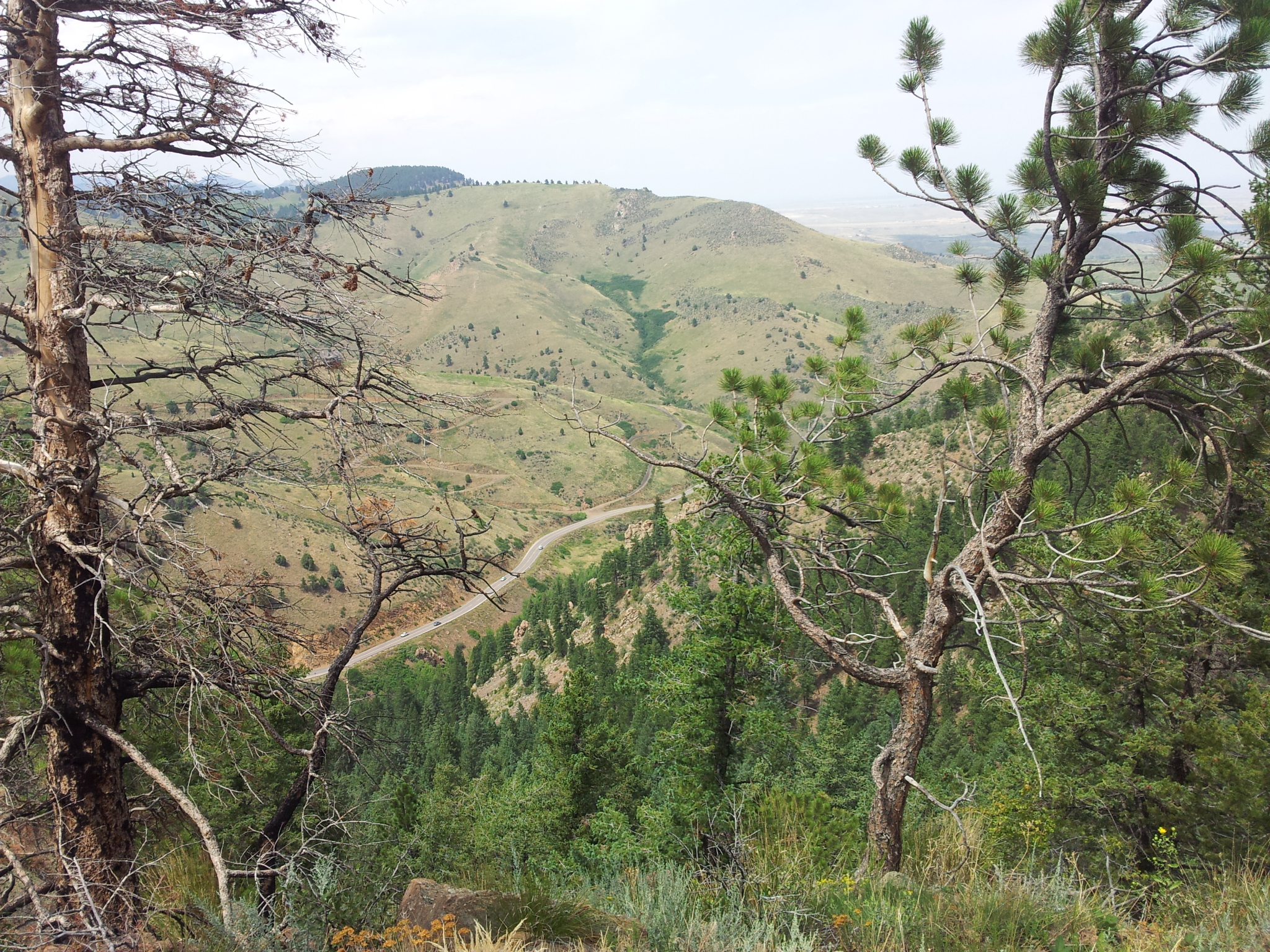
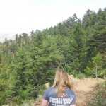
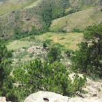
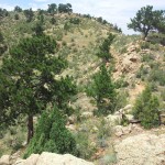
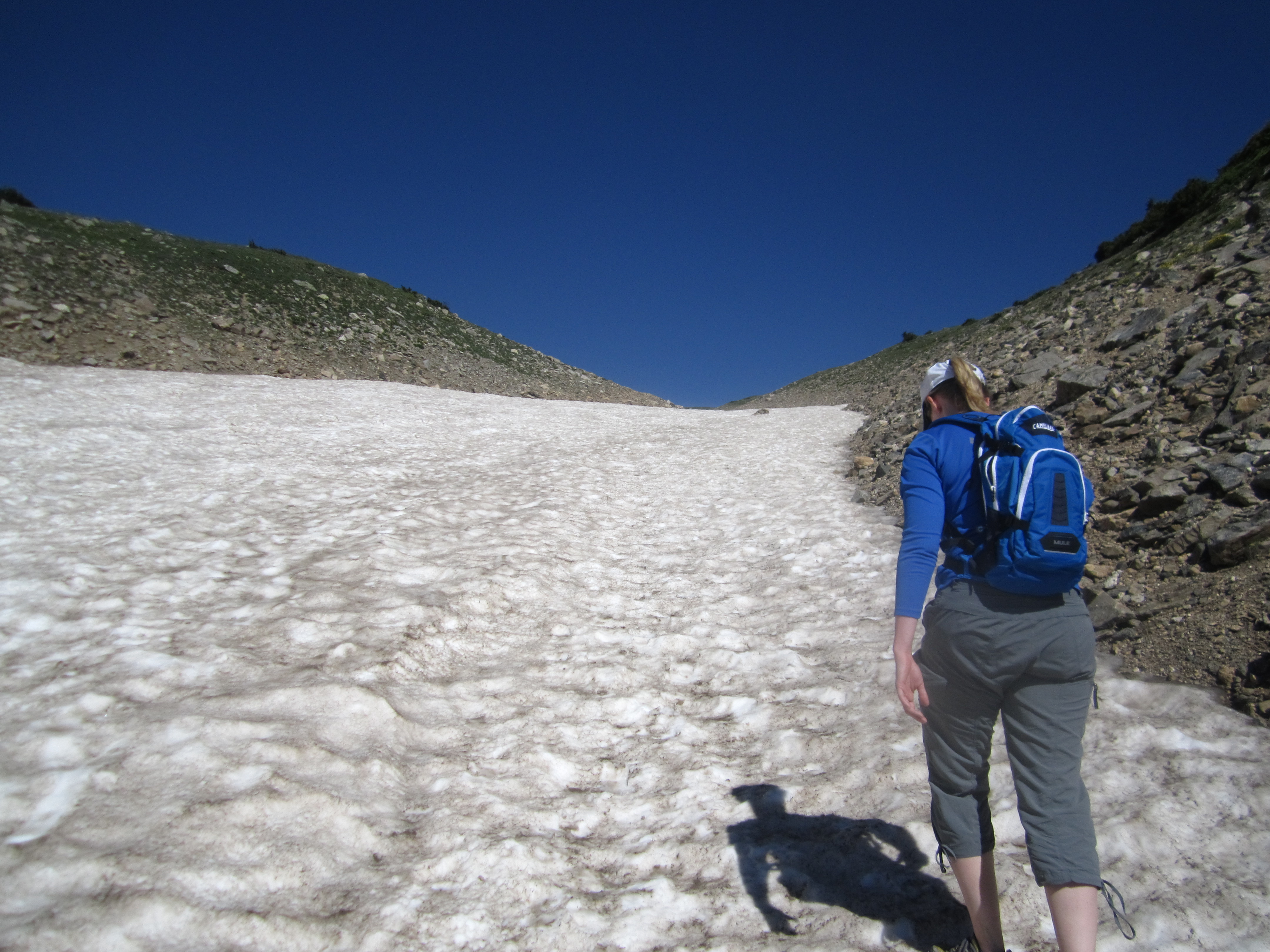
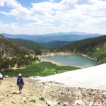
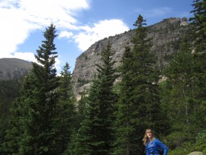
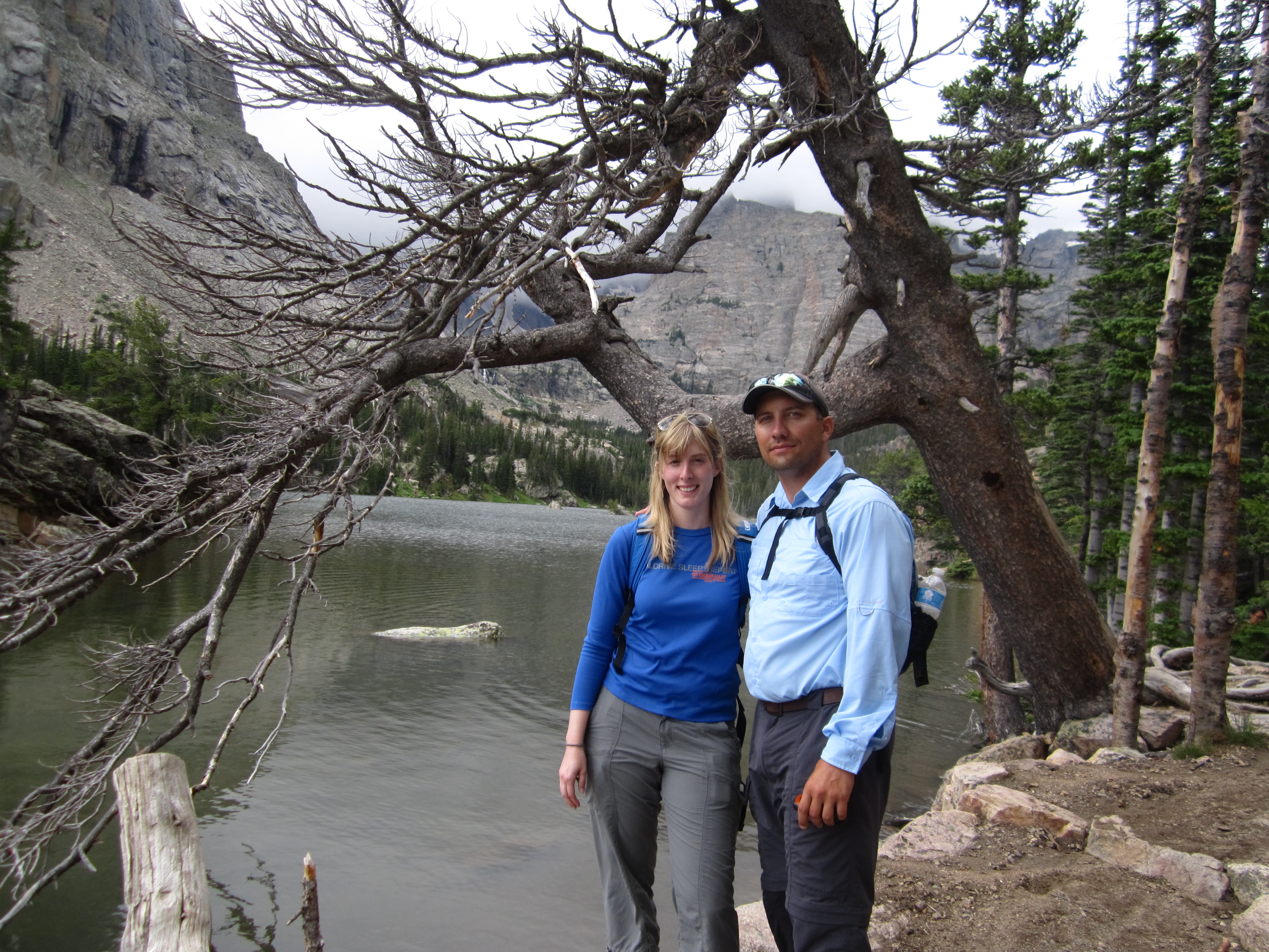
This proved to be the most exciting and eventful part of this journey. Our hike this afternoon took us to the nearby town of Golden, CO and into Mt. Galbraith State Park. Both tired from a long work week and faced with a weather report for the area that didn’t look to dry, we opted for a shorter closer hike to the Denver metro area. We’ve become quite spoiled to the wonders of the mountains in Summit County and alpine lakes and gorgeous forests of Rocky Mountain National Park lately, Comparatively, a hike through the foothills was not going to be quite as impressive or provide the solitude that we find a welcoming retreat from the sights and sounds of the city. Nonetheless, Mt. Galbraith via the Cedar Gulch Trail and the Mt. Galbraith Loop Trail was a nice, well maintained path with moderate elevation gain and nice views of the town of Golden and even Denver in the far off distance. The trail begins on the Cedar Gulch Trail which winds up and around the various hillsides via long switchbacks for about 1.2 miles. The landscape was very arid, and dotted with cacti, a few tall grasses, and boulders. On the ascent, we hiked very fast paced and quickly arrived at the Mt. Galbraith loop trail. We opted to complete the loop via the west side first. Seen below are photos from the Northwest side of the loop.
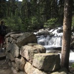
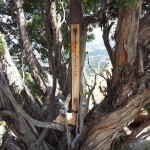
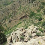
The loop steadily climbed up the dirt path and over rocks and boulders until reaching a high point on the northern most side of the loop. We briefly got off route here and followed some cairns which led us to part of the site of the 2011 Indian Gulch Fire. The area left a maze of charred remnants. A sea of blackened forest on the hillside greeted us. Among the dark areas on the ground, we saw a cigarette butt. It was so disappointing to see this among all the old fire damage. The fire in 2011 was said to be human caused. It burned over 1600 acres. Photos of what we encountered can be seen below.

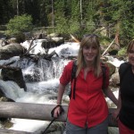
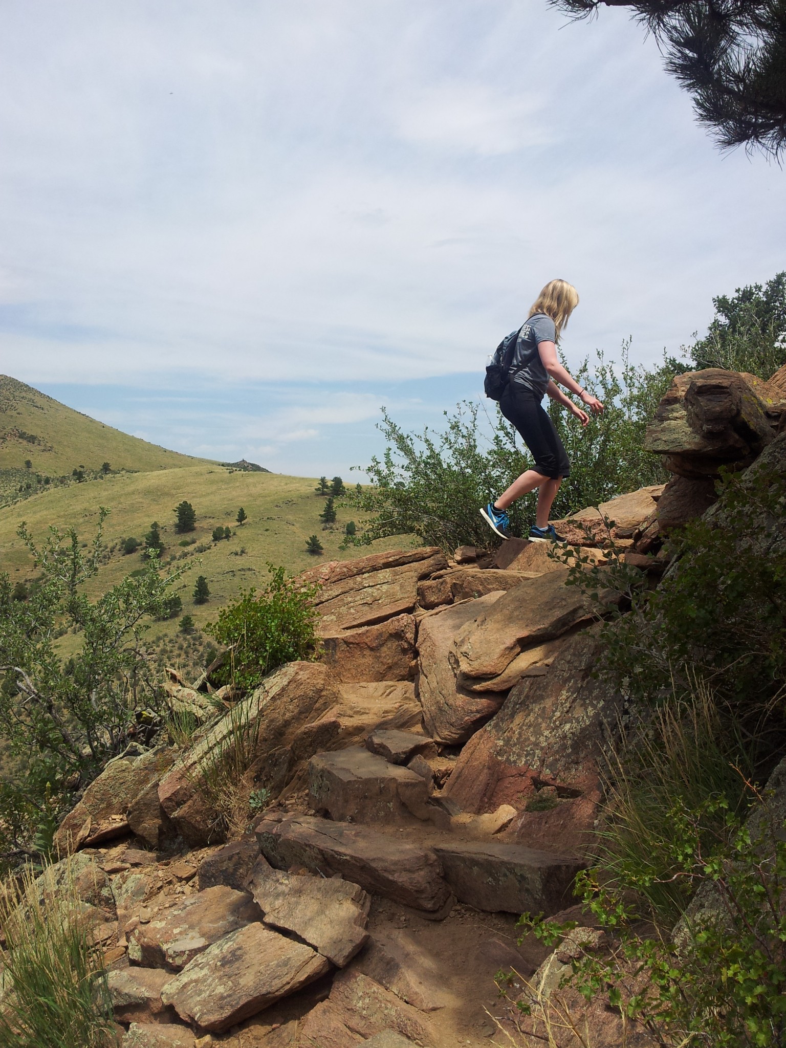
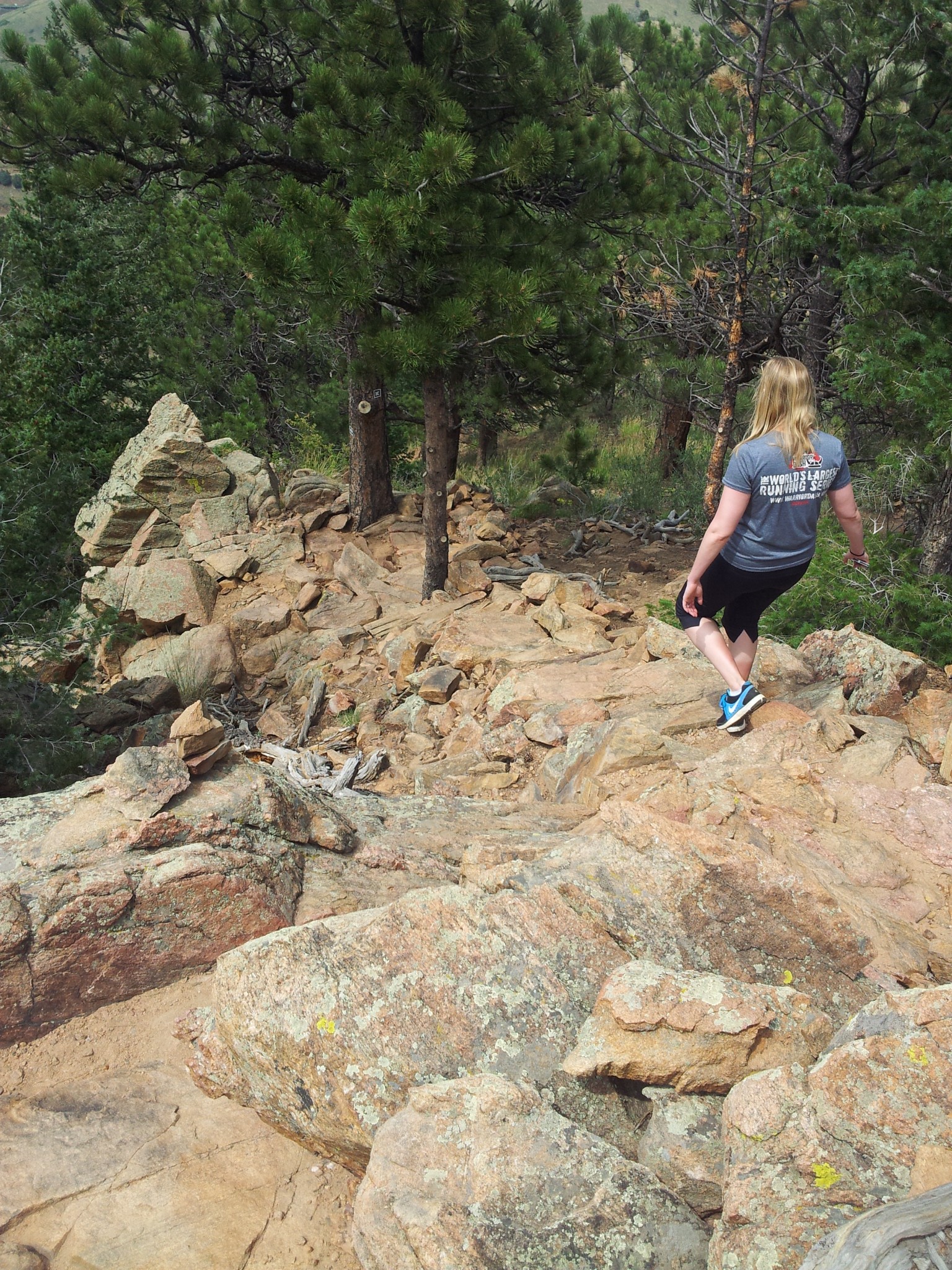
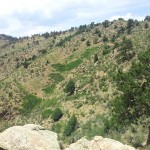
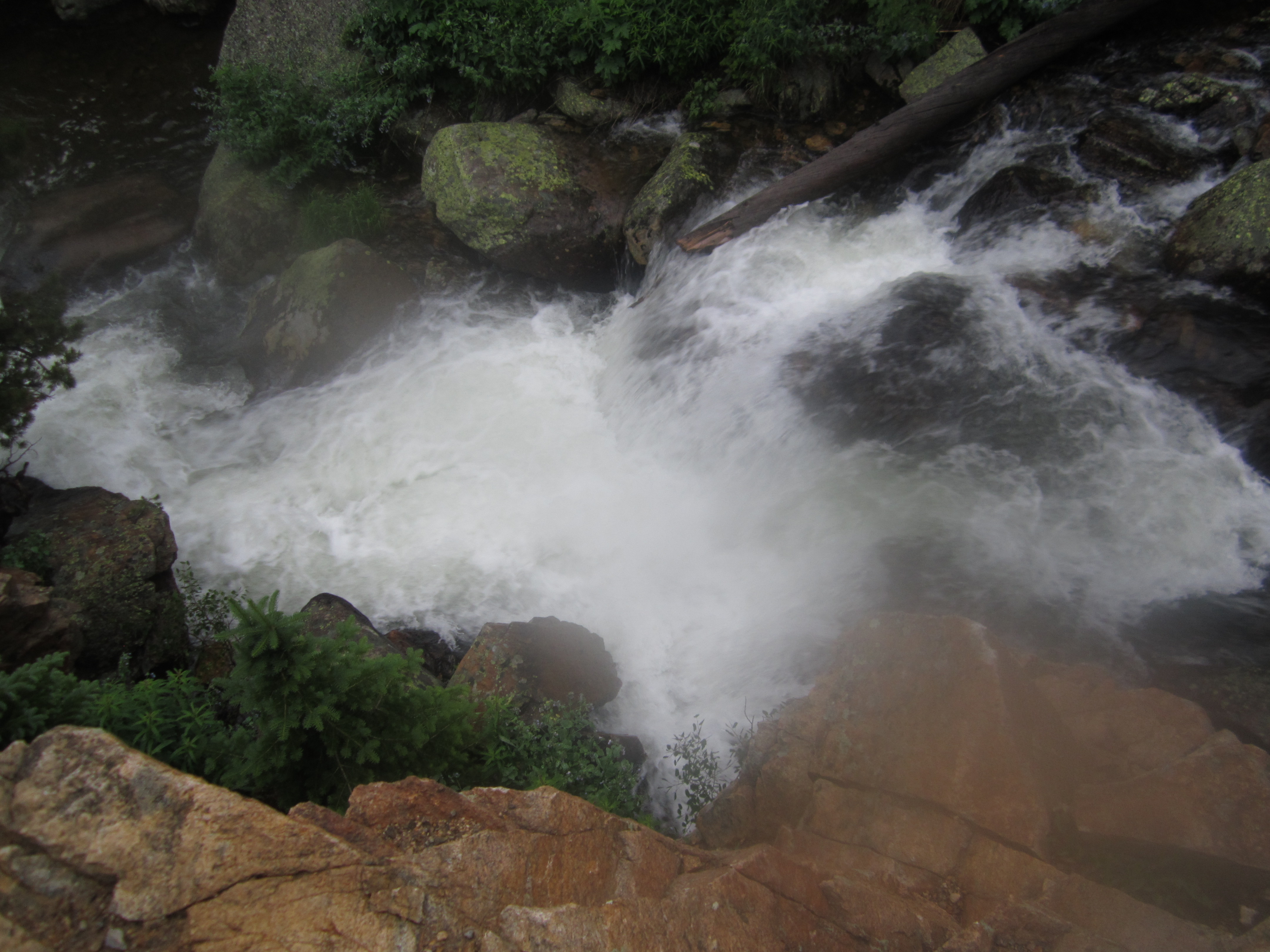
We followed our footsteps back and continued around the east side of the hill and began to descend. The loop is around 1.6 miles in length, and we were back to the Cedar Gulch Trail relatively quickly. There were steep rock steps along many portions of this side of the loop which made us thankful we began on the west side which can be seen below. We are still surprised we didn’t think about snakes yet among all the rocks, boulders and warm sun.
We concluded the hike back at the Cedar Gulch Trailhead thankful to be out of the searing sun and snake land. Overall, the hike was a decent way to spend a day outdoors but not our favorite. Give us a day in the mountains over this always. We would recommend going out either early in the morning or late evening to avoid the hot sun. Parking is free here, and there are vault toilets available at the lot. There was a warning sign at the trailhead saying there have been many incidences of vandalism in the parking lot. Thankfully a policeman was on duty in the lot for the duration of our hike.


James Peak via St. Mary’s Glacier Trailhead: 13,312 ft
Distance: 8.60 miles (out and back; spurs, exploring) Elevation Gain: 3,203 ft (total) 2,922 ft (net)
Max Elevation: 13,312 ft Min. Elevation: 10,390 ft
“Every mountain top is within reach if you just keep climbing.” Barry Finlay, “Kilimanjaro and Beyond”
While we visited St. Mary’s Glacier in early Spring, it was surrounded and covered in many feet of snow and difficult to distinguish. Plus, the harsh weather with bone chilling wind and snow forced a decision against a summit attempt of James Peak. With summer upon us and a bluebird sky and pristine weather report for this Sunday, we awoke early and made for the summit of James Peak.
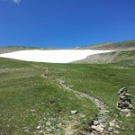
We arrived relatively early and got a nice parking space (which costs $5 for the day) and then began the hike up to St. Mary’s Lake, which starts at around 10,400 ft. When we were here in April the path up to the lake and glacier was completely covered in snow. This time the once snow laden trail was replaced with heavy amounts of boulder and debris. The first three-quarters of a mile of the trail hovers around a 20% grade. We dodged loose rocks and climbed steadily until we reached a plateau at the lake and base of the Glacier.
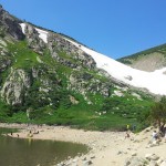
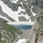
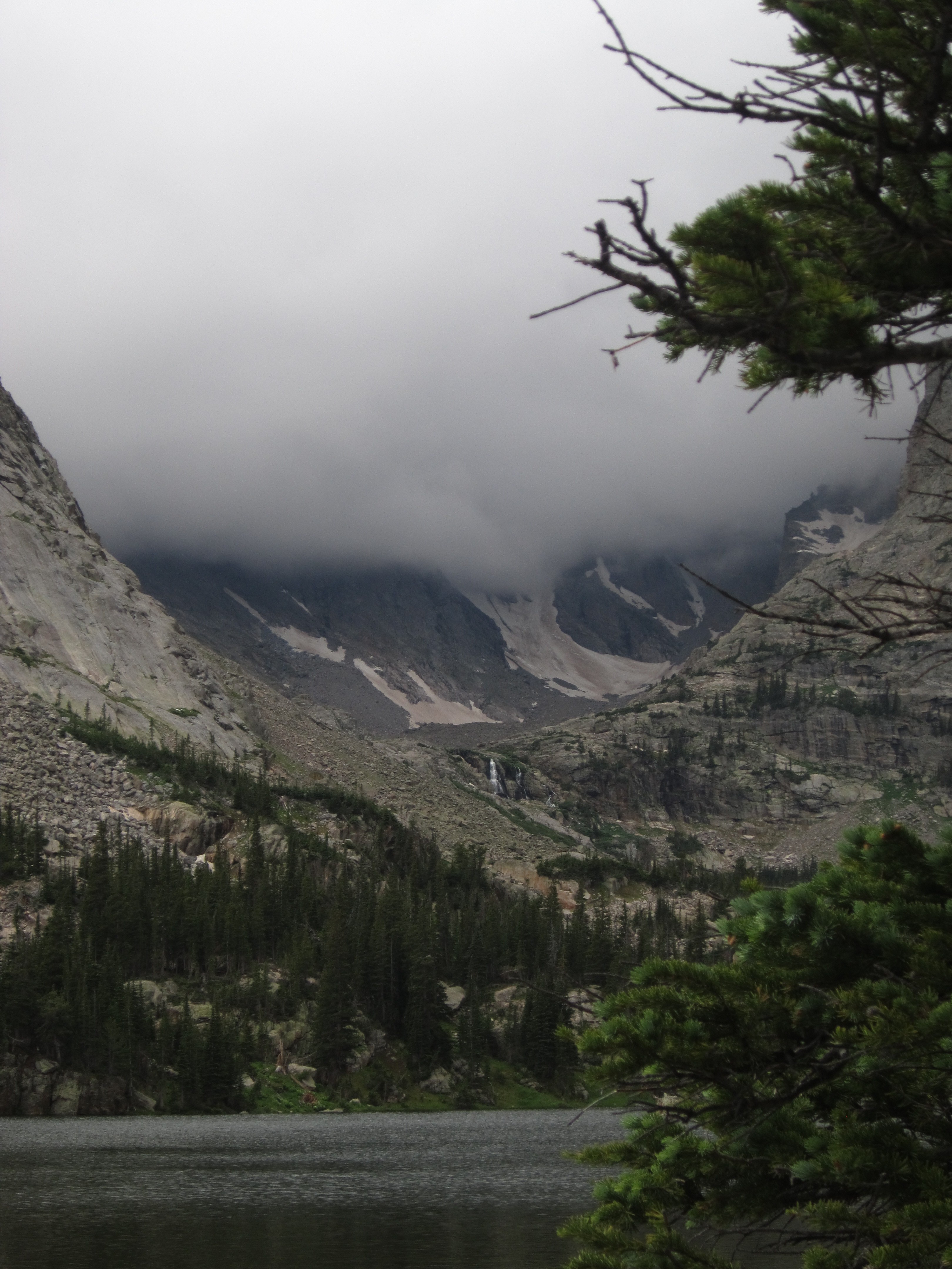
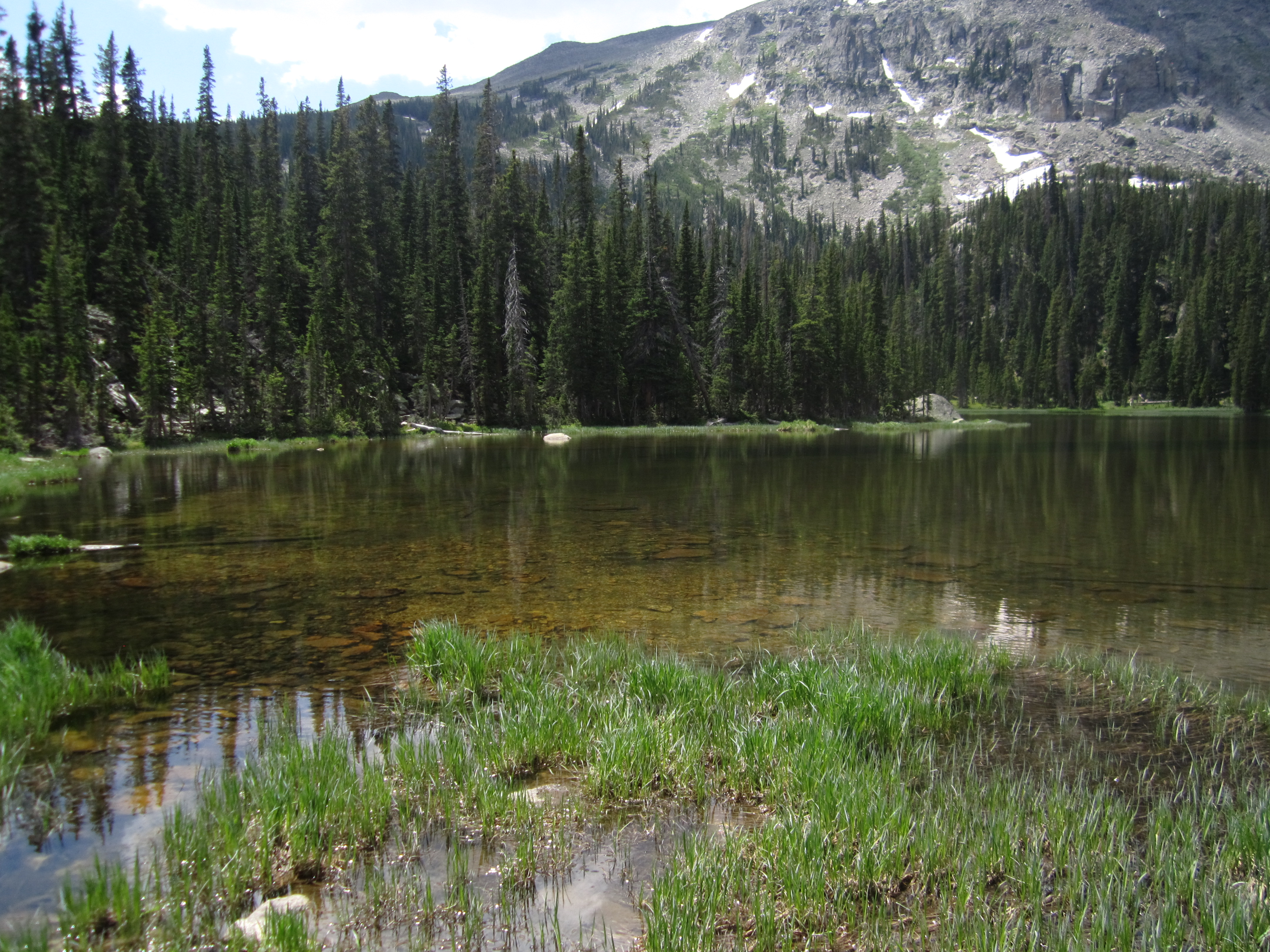
At the lake, we saw a half dozen or more tents set up and a very different picture than in April. The lake was a deep and bold blue, and the once bright white slopes above the lake were now emerald. There were no signs of the avalanches on the verdant hillside that greeted us. We trekked around the lake and on towards the glacier through the lush greenery. Below is a panorama of St. Mary’s Glacier.
Once we neared the glacier base we could see a small stream flowing from the bottom of the glacier and feeding the lake below. It was surprising to see some people actually swimming in icy water. Walking up the steep glacier treats a climber to some of the steepest grades on this hike, which average around 24%. The glacier meanders up for almost a mile and then disappears, and the incline mellows out. Below are some images of our hike up the glacier.
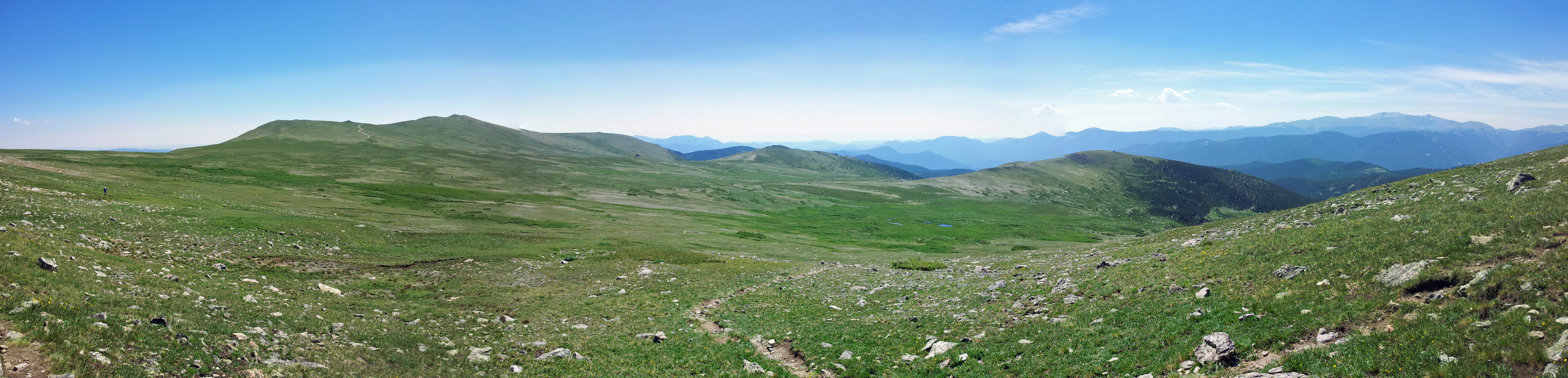
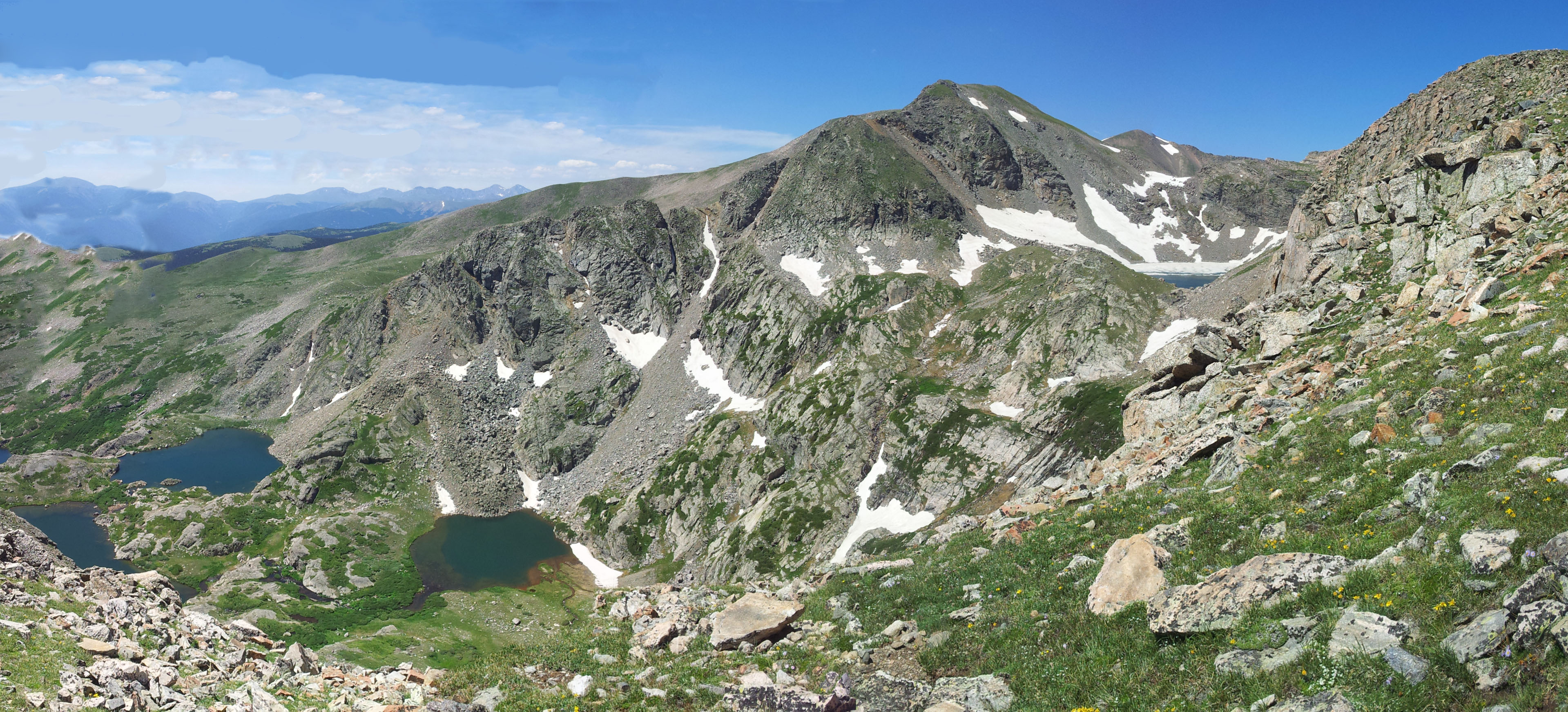
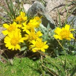
At this point we were solidly in the alpine environment. Once the snow and ice vanished, the wildflowers, butterflies, and critters came out. This part of the hike is in the James Peak Wilderness which comprises part of the Arapahoe and Roosevelt National Forests. The trail then slowly climbs up and away from the glacier and forms a small ridge where the Continental Divide first comes into view. We saw numerous flowers along the path and couldn’t help but stop and take a few pictures. Eventually, we hit an old jeeping trail. It’s at this point that the trail more or less vanishes, and we had to improvise and look for the cairns which were very useful for this hike. Pretty quickly we were back on the trail, and we took this panorama below.
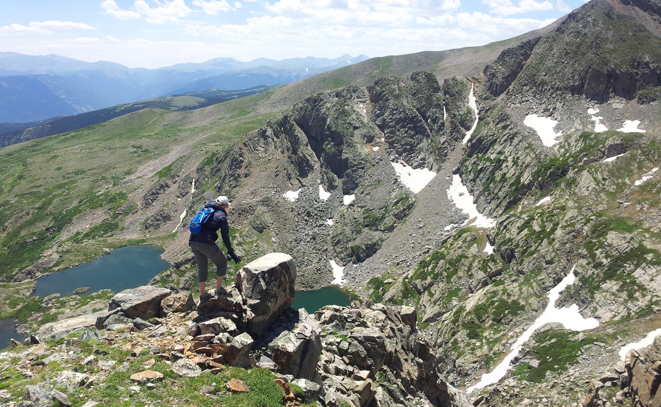
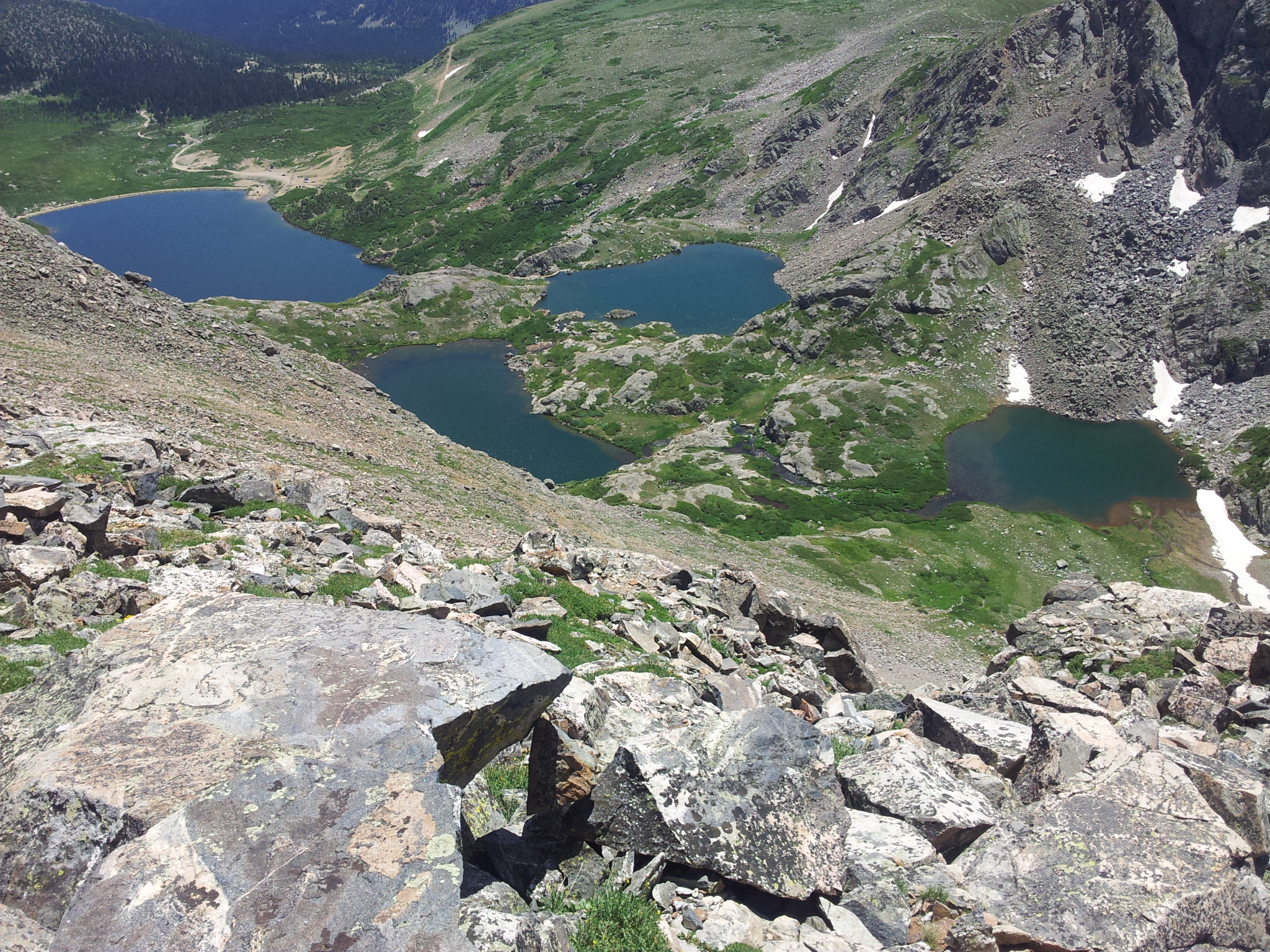
Pretty quickly after getting back on the trail we found ourselves looking at the large Lake Lomond as well as three smaller lakes surrounding it: Ohman, Steuart, and Reynold’s Lakes. Lake Caroline is further behind them but is not visible from the ridge. Above this set of four alpine lakes is another body of water called Ice Lake. It was apparent why it received this name, since even during mid-July it was mostly covered in ice. It was a spectacular view with Mount Bancroft just above these alpine lakes. Below are some pictures of the lakes as we climbed towards the summit.

After pausing to take in the breathtaking views of the lakes, we made a hard push for the summit of James Peak. As with most peaks the actual summit is quite elusive. We would see what we thought was the summit only to realize it was just a ridge as we approached it. The path was littered with dozens of varieties of alpine wildflowers, many of which you can view on our Flowers of our Hikes page. It was exquisite scenery with prominent views to the south and west of the rocky mountains.
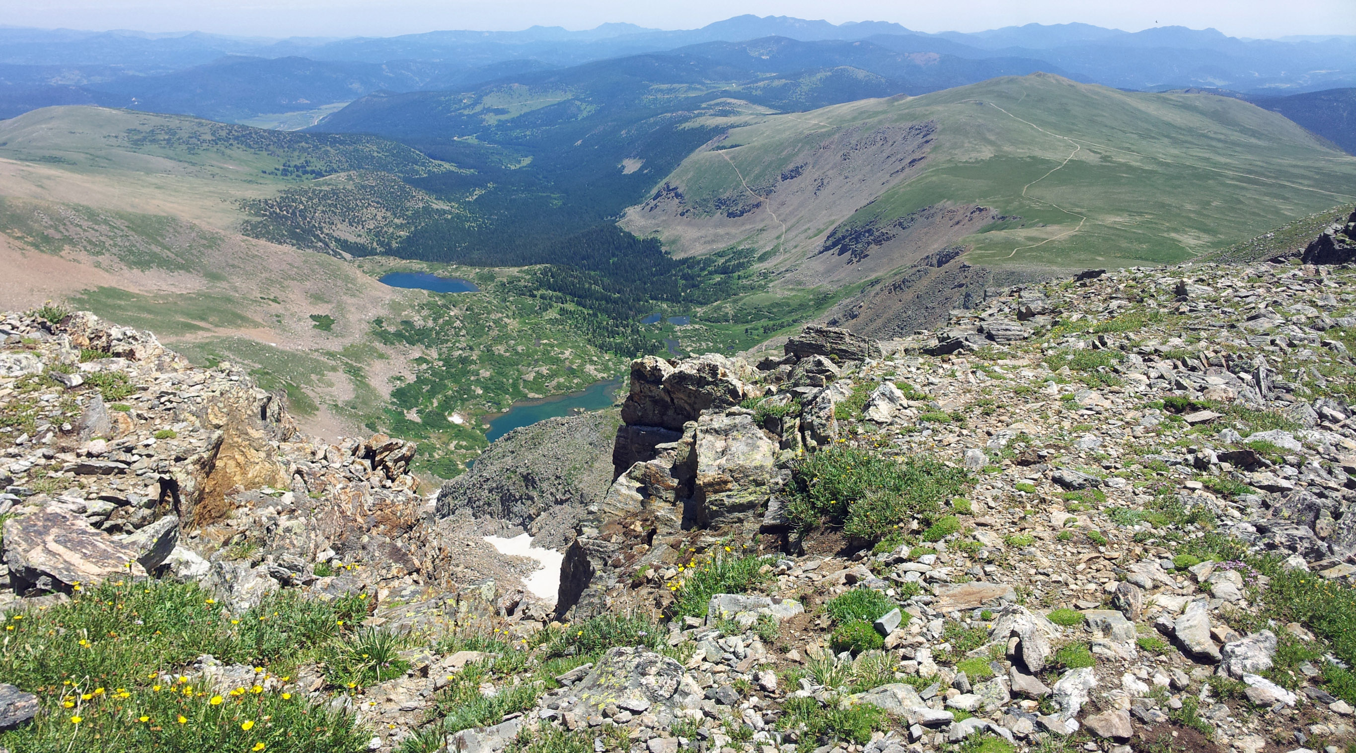
After roughly a mile from our view of the lakes we came to a ridge that overlooked the east face of James Peak. From this vantage point we could see James Lake and Little Echo Lake 2,000 ft below us. It was awe inspiring and also slightly scary to look down the cliff face which dropped rapidly from 13,080 ft where we were standing to 11,200 ft where the lakes reside. Looking north we could see many of the mountains of the front range, and the view seemed quite limitless. Below is an image of James Peak Lake with Little Echo Lake just behind it; if you look at the bottom center of the image and find the ‘v’ in the ridge you can look almost straight down the mountain.
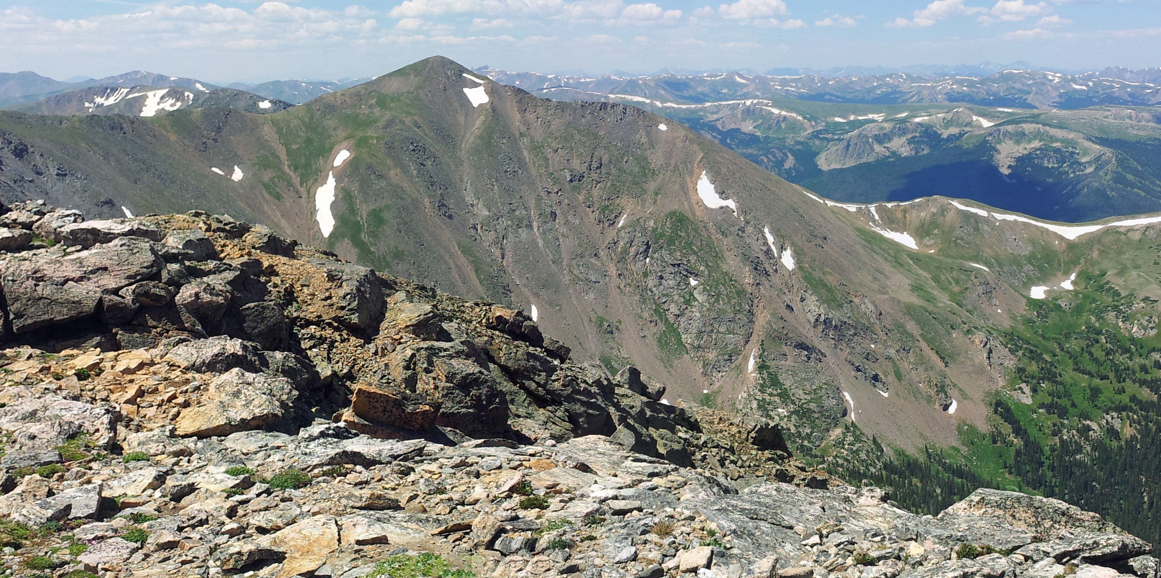
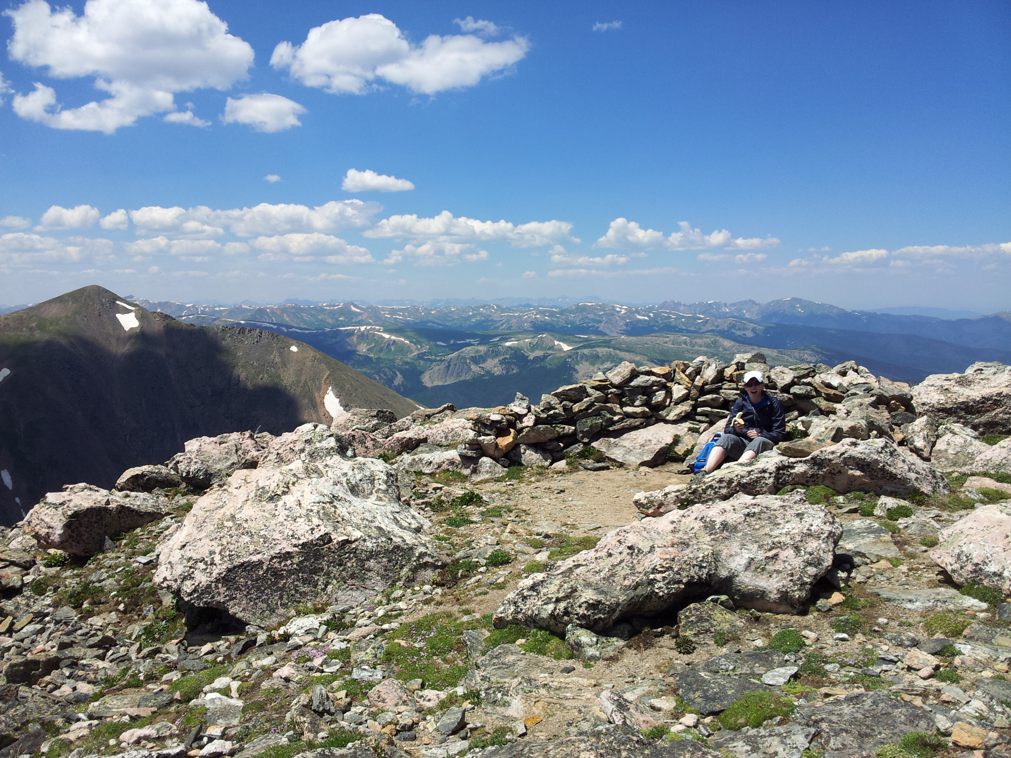
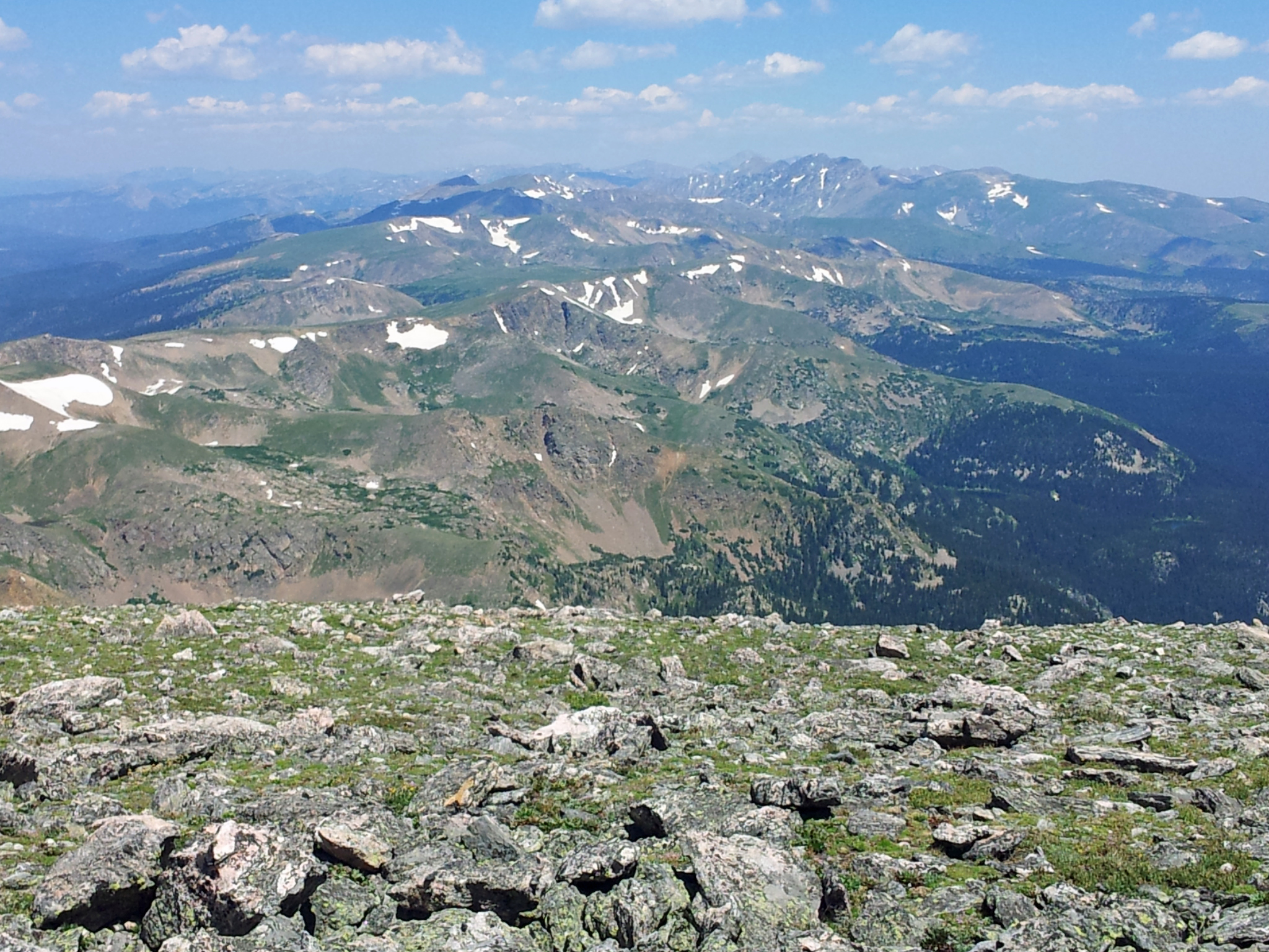
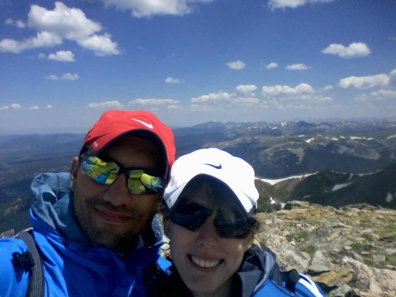
At this point, looking at James Peak Lake we only had around 210 vertical feet to climb, but it started to feel like hiking for a minute was extremely hard and we wanted to take breaks. After sitting down for a minute to catch our breath we pushed up to the summit. It was amazing. We could see 360 degrees around us for what seemed like endless space. The mountain ranges in front of us layered together in various shades of blue and purple. We could see Winter Park and Mary Jane to the north-west, Mount Bancroft was staring right at us from the west, Grays and Torreys to the west behind Bancroft, and Mount Bierstadt and Evans just south-west of them. It was very peaceful on the top with only about six other hikers up there with us. Below are some of the pictures from the summit.
We spent about 30 minutes on the summit and then decided to head back down. Once we started our descent we noticed that there were many other hikers coming up to the summit, so we were glad to have gotten an early start. Going down was quicker than coming up, but by no means easy. The steep grades (averaging 17% for the entire hike) were compounded by the loose rock along the path, and we had to be very careful with our footing.
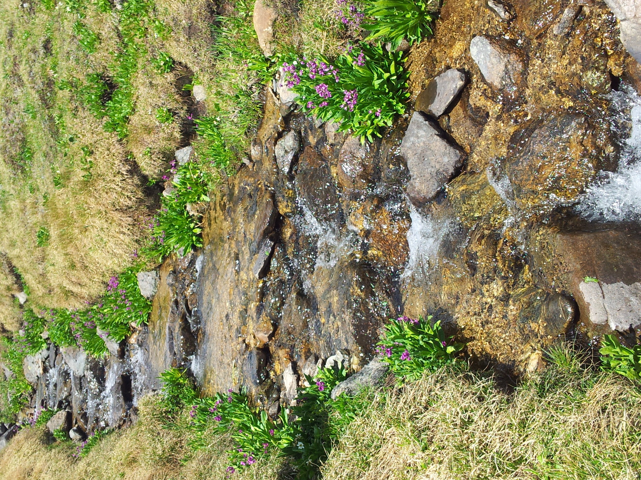
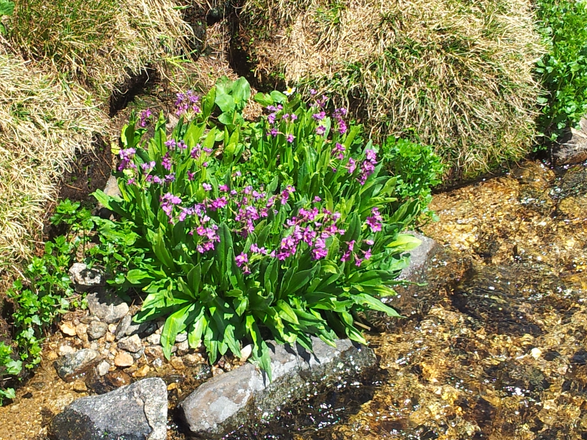
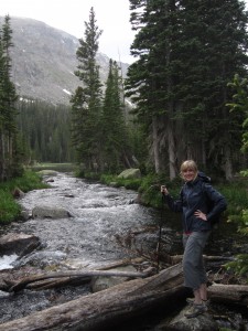
Relatively quickly we found ourselves on the open tundra again, and we made our way back to the jeep trail. Along the way we found a few small creeks running down the from snow melt on James Peak. There were some beautiful flowers alongside the creeks, and it was a wonderful sight. Here are two pictures of one of the creeks.
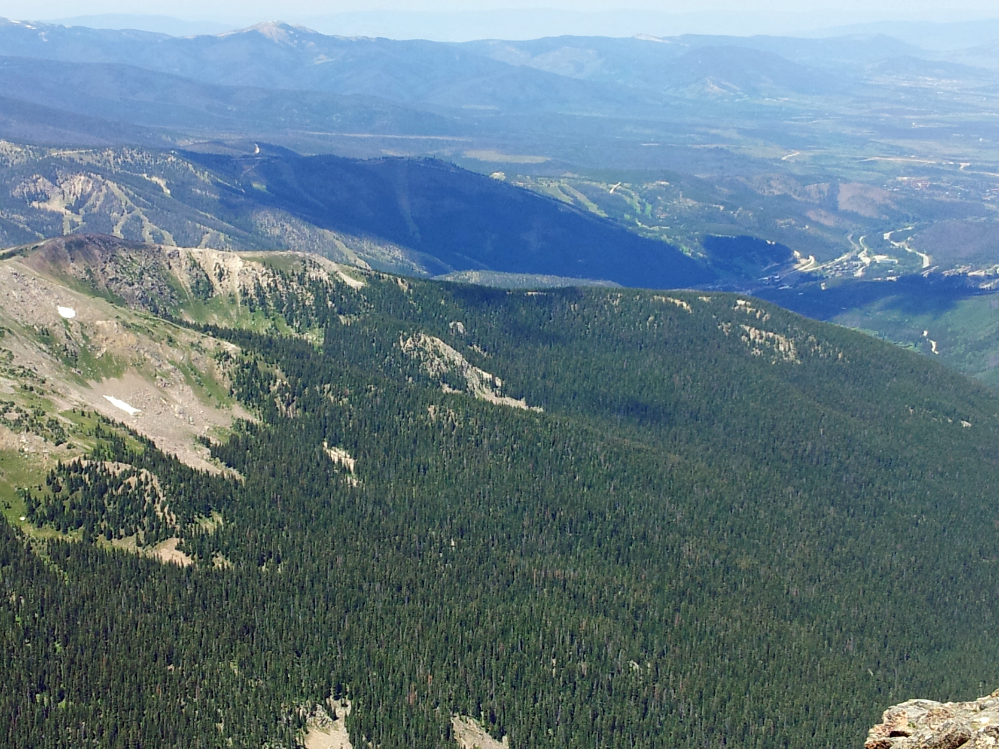
After crossing numerous creeks, we found the jeep trail and even saw some jeeps and four wheelers out exploring. We made our way back to St. Mary’s Glacier on the path and looked at the beautiful scenery one last time. Once back to the glacier we realized just how steep it is. We had to go very slowly to prevent from slipping and sliding down the glacier. (Though we did see some people carrying their sleds, skis and snowboards up…) Even in mid-summer it would have been helpful to have had micro-cleats. But despite the slippery and steep nature of the descent we made it down without injury and were back at St. Mary’s Lake.
From the lake it was just a short hike down to the parking lot. However, it was quite a different scene going down from the lake than it was going up. There were throngs of people wearing work out clothes, swimsuits, and shorts and t-shirts heading up to the lake for picnics and just to hang out. We were very glad at this point we had gotten to the parking lot early, since once the lot is full there is no where to park. After navigating our way around the ascending horde we were back at our car and very happy with our accomplishment and experience. Cheers!

Timberline Falls Via Loch Vale Trail: RMNP
Distance: 10.02 miles (lollipop; spurs) Elevation Gain: 1,563 ft (net) 2,981 ft (total)
Max Elevation: 10,798 ft Min. Elevation: 9,235 ft

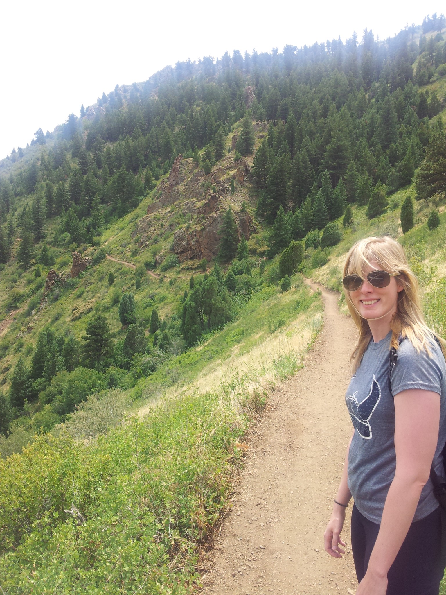
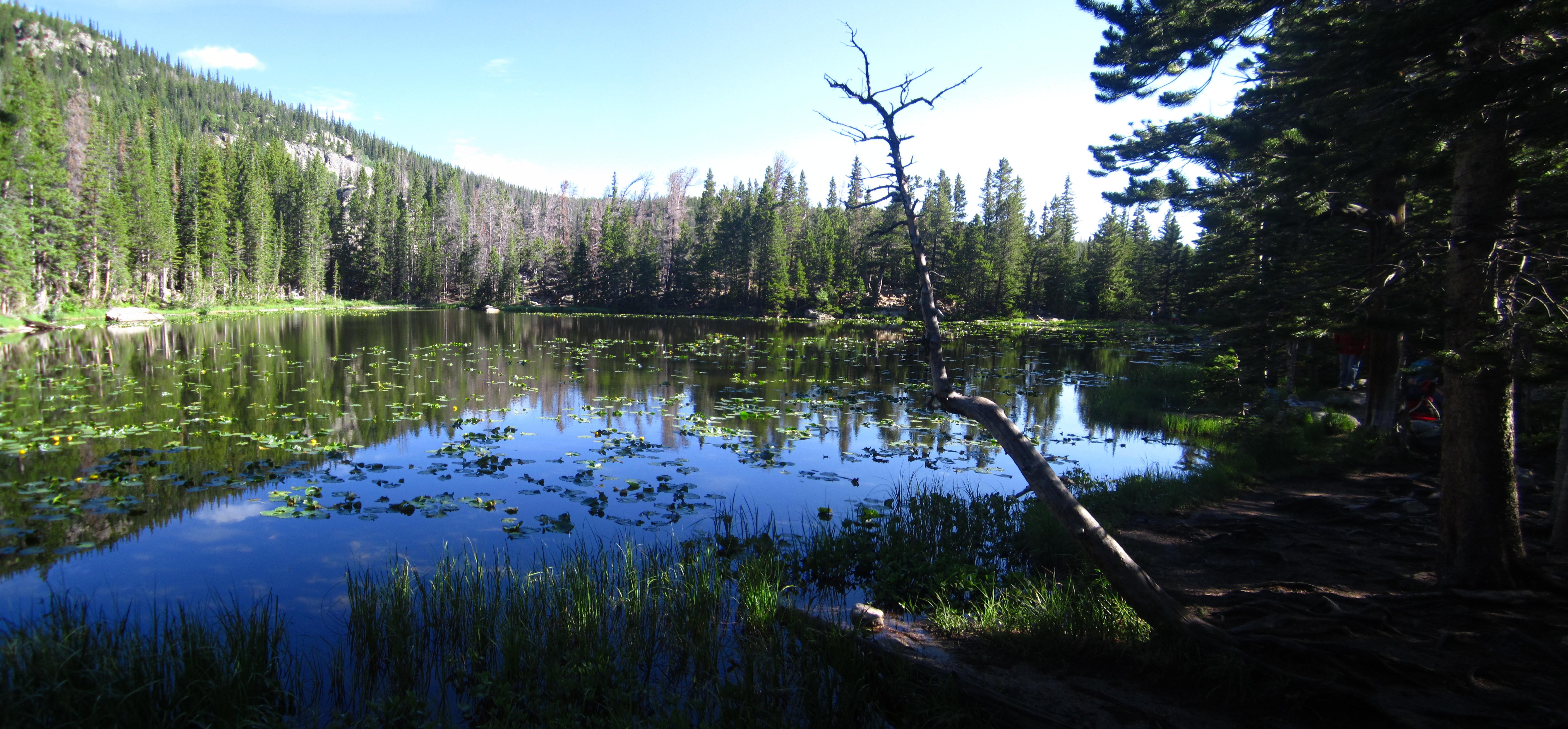
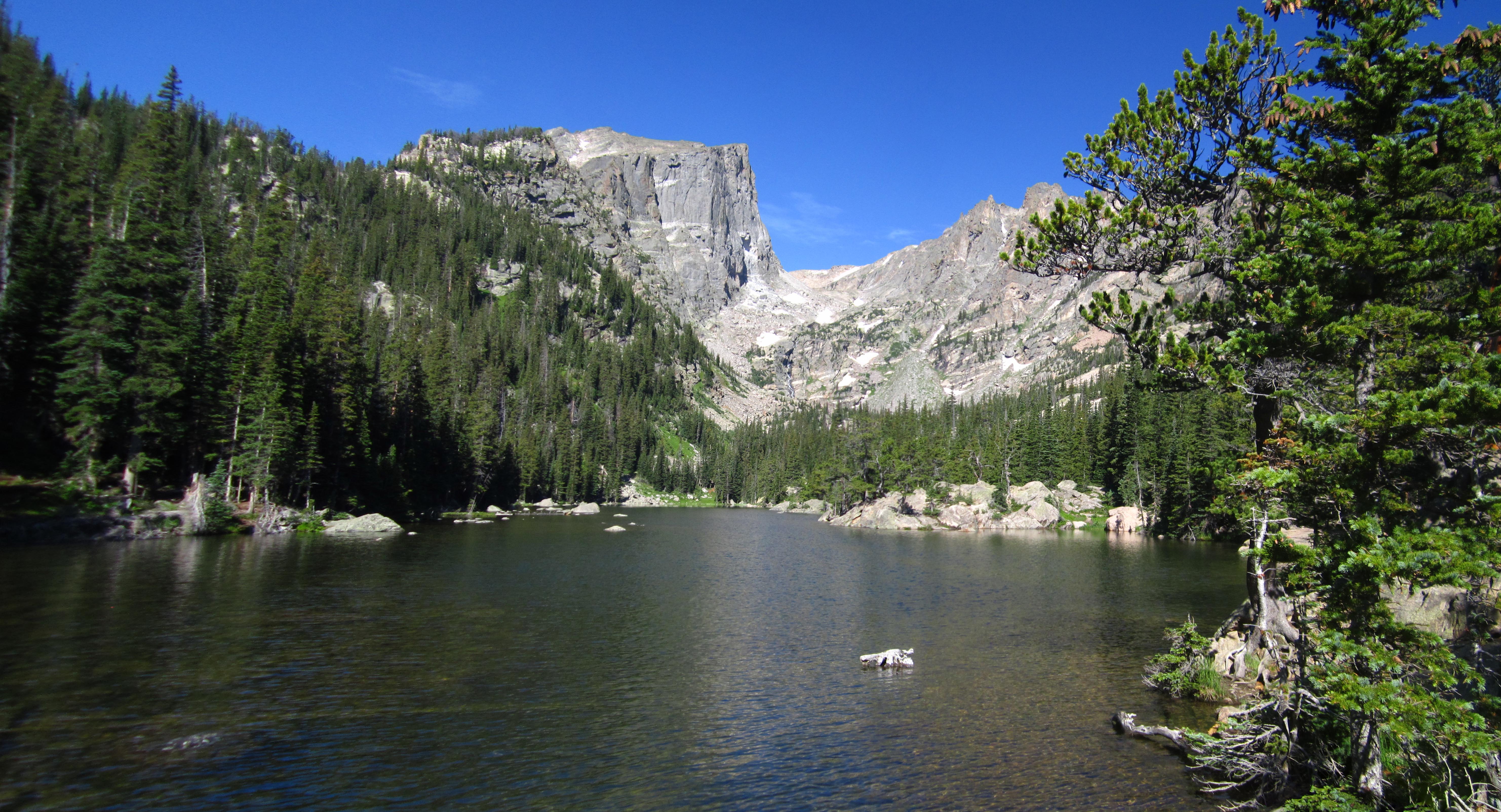
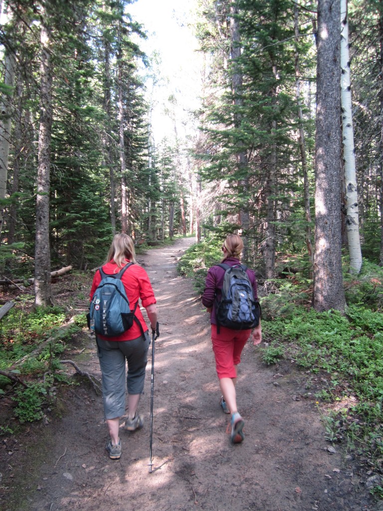
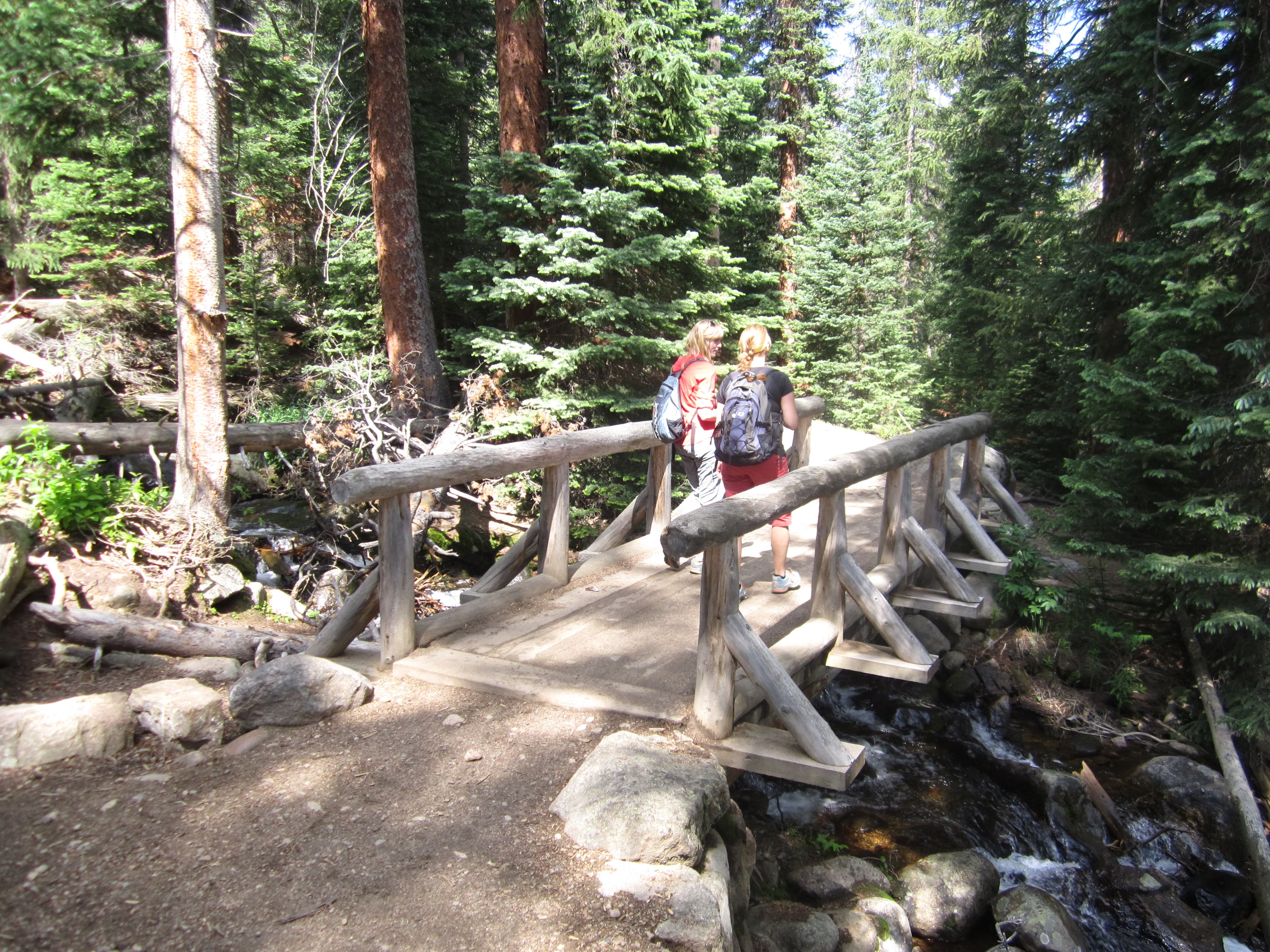
The weather predictions estimated a window of about 4 hours for which we would have a clear break from the pelting rain and thunderstorms that have blessed the region for the past several days. We set our alarms for 5:30 am on Sunday morning, and awoke just as the sun was rising, threw our gear and backpacks into the car, and hit the road for Rocky Mountain National Park. Recent hikes into Wild Basin and the Eastern perimeters of the park have made us fall in love with this gem of a national park. But, we had yet to explore the Eastern Central expanse and the famous Bear Lake and surrounding trail systems. We arrived at the park entrance at about 8:00 am and drove about 7 miles to the Bear Lake Parking. Already there were decent crowds but we were still able to secure a spot. The skies were still blue, and the park temperature was a refreshing 55 degrees. We began our journey without a clear route plan….just a bit more of exploring in mind. We took the Emerald Lake Trail first, which veers left from Bear lake and proceeded an easy 0.3 or so miles to Nymph Lake. The lake was splendid as the early morning sun brightened its clear waters and illuminated the lily pads floating delicately on its gentle surface. But, the crowds kept coming, so we kept moving. Our next stop led us on to Dream Lake about a half mile from Nymph Lake. The trail here was lovely and led us over a creek bridge and upwards to the clear alpine lake. The waters are so still, reflections of the trees and rocks can be seen perfectly in its waters. Pictures of Nymph and Dream Lakes can be seen below.
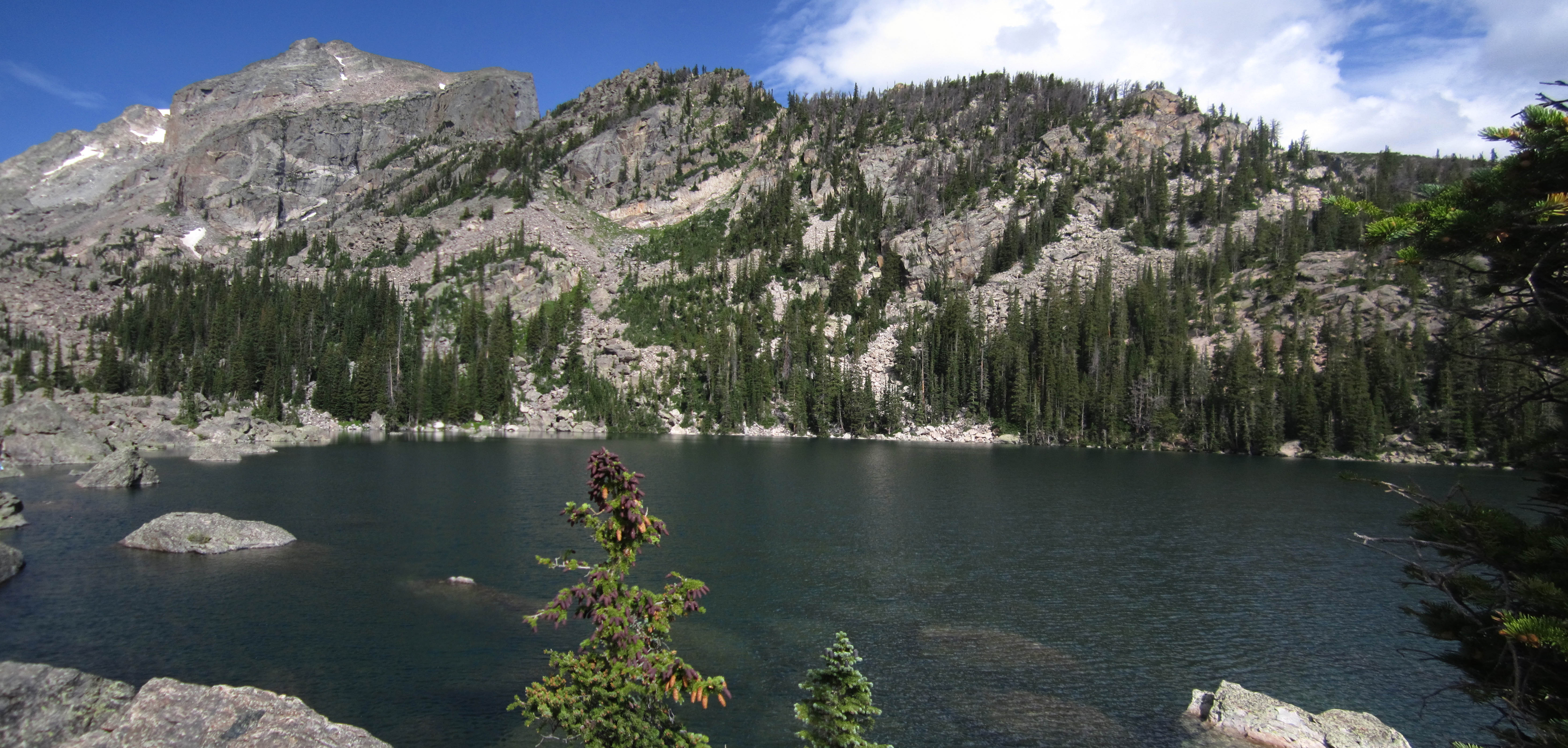
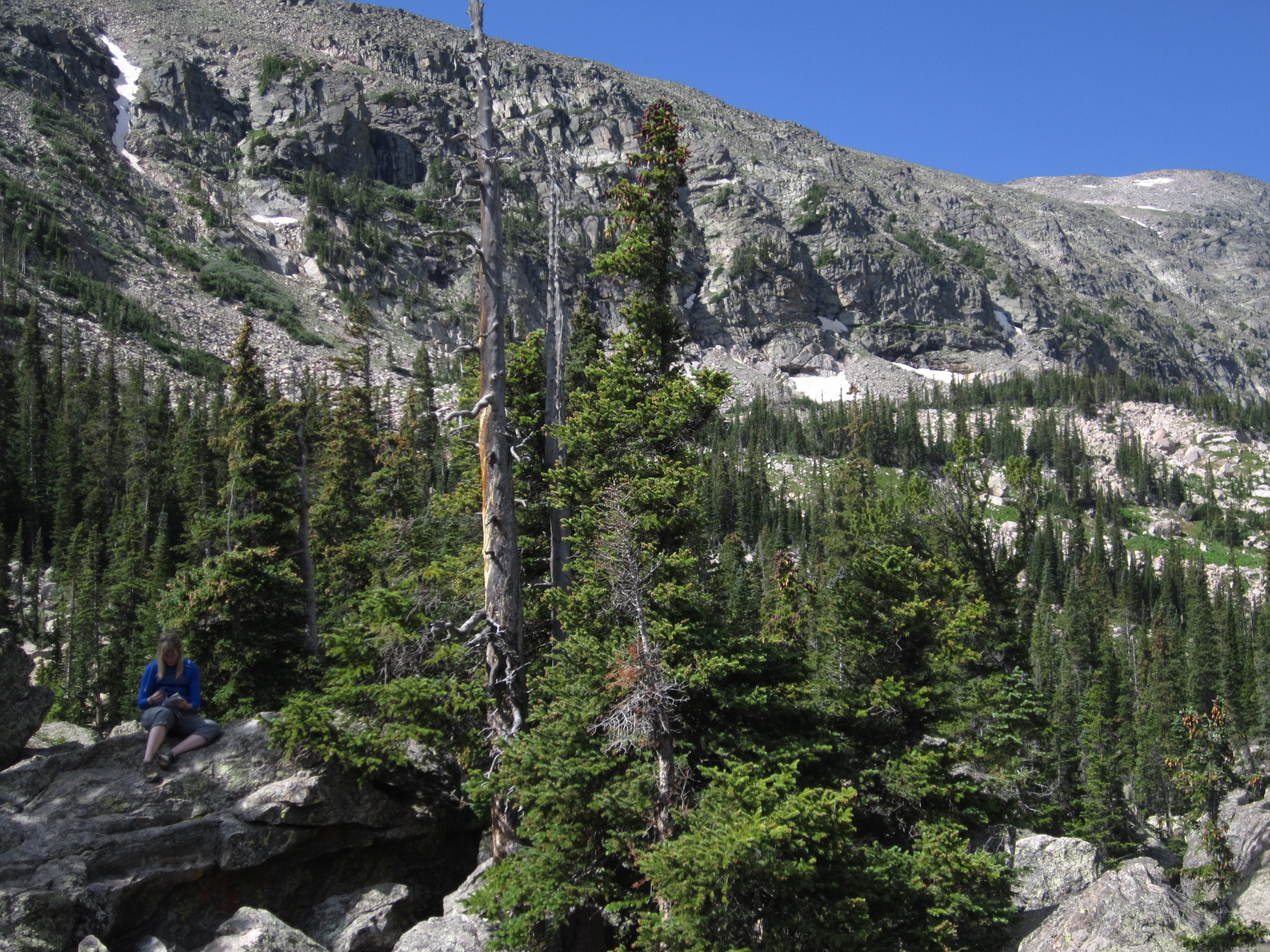
We had to make a choice at this Lake. Continue on to the famous Emerald Lake? Or take a different path towards Lake Haiyaha, a bit less traveled? Of course we are ones for remoteness and backcountry experiences so at the fork we headed upwards toward the “Lake of Rocks”. (Haiyaha is Native American for rocks) The trail climbed steeply for the next 0.25 to 0.5 miles providing the first challenge of the day. We encountered nice views of the park from our elevation gains along the way. After traveling about 1.8 miles from Dream Lake, we reached our next destination. At first, we simply saw a stagnant pond with a few rocks and mosquitoes. Before too much disappointment overcame us, we decided to scramble over some boulders to our right. After a tough ordeal jumping over rocks and avoiding dinosaur size mosquitos, we were greeted with an amazing sight before us. There was Lake Haiyaha, a large expanse of icy, brilliant blue water surrounded by towering boulders nestled in chaos canyon. The color of the water was different than the earlier lakes we had seen. The gentle rise of brook trout could be seen here and there. We boulder hopped around exploring the area and then stopped for a quick rest here before moving on. Seen below are the remote lake, boulders and a little relaxing.
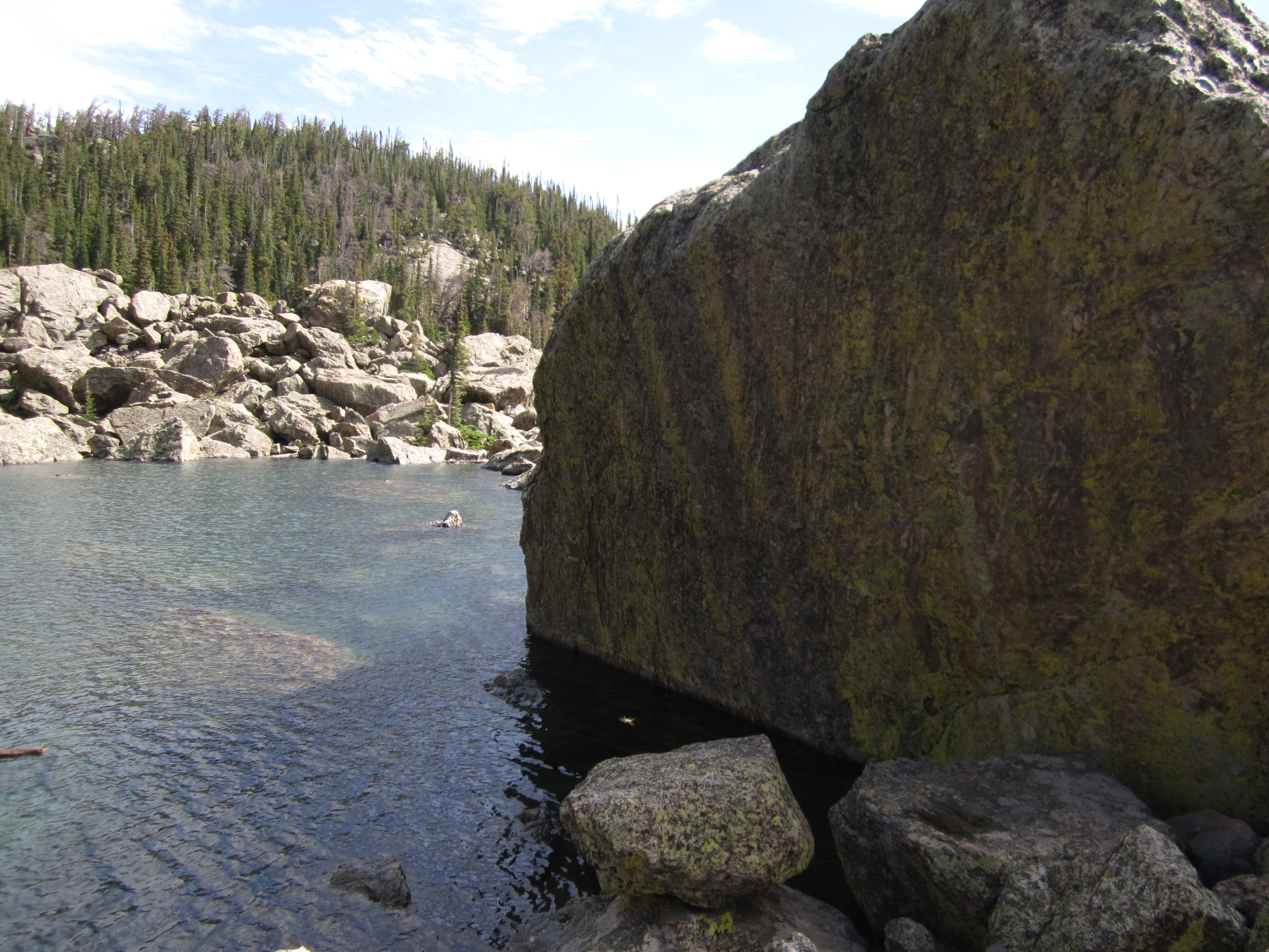
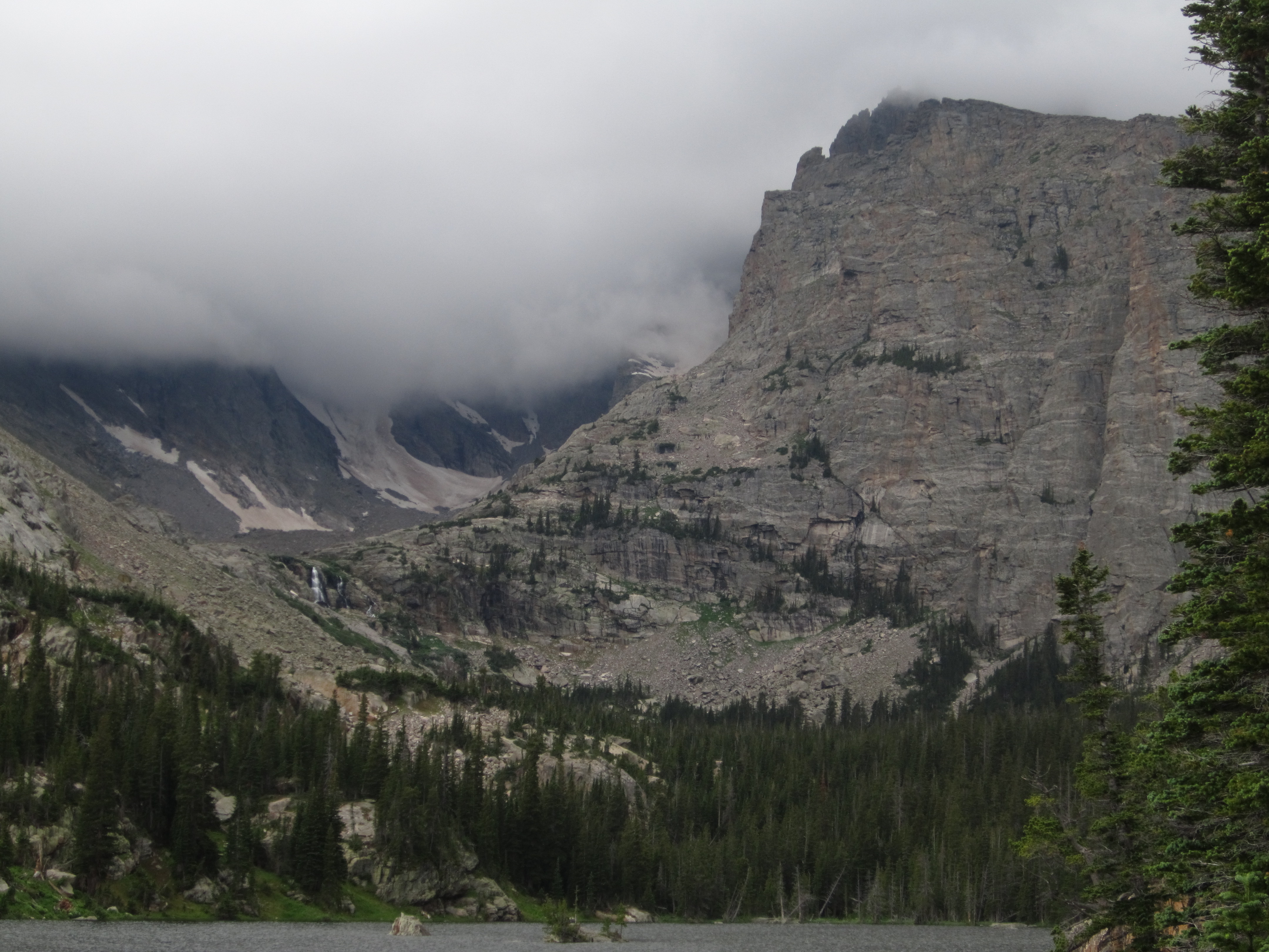
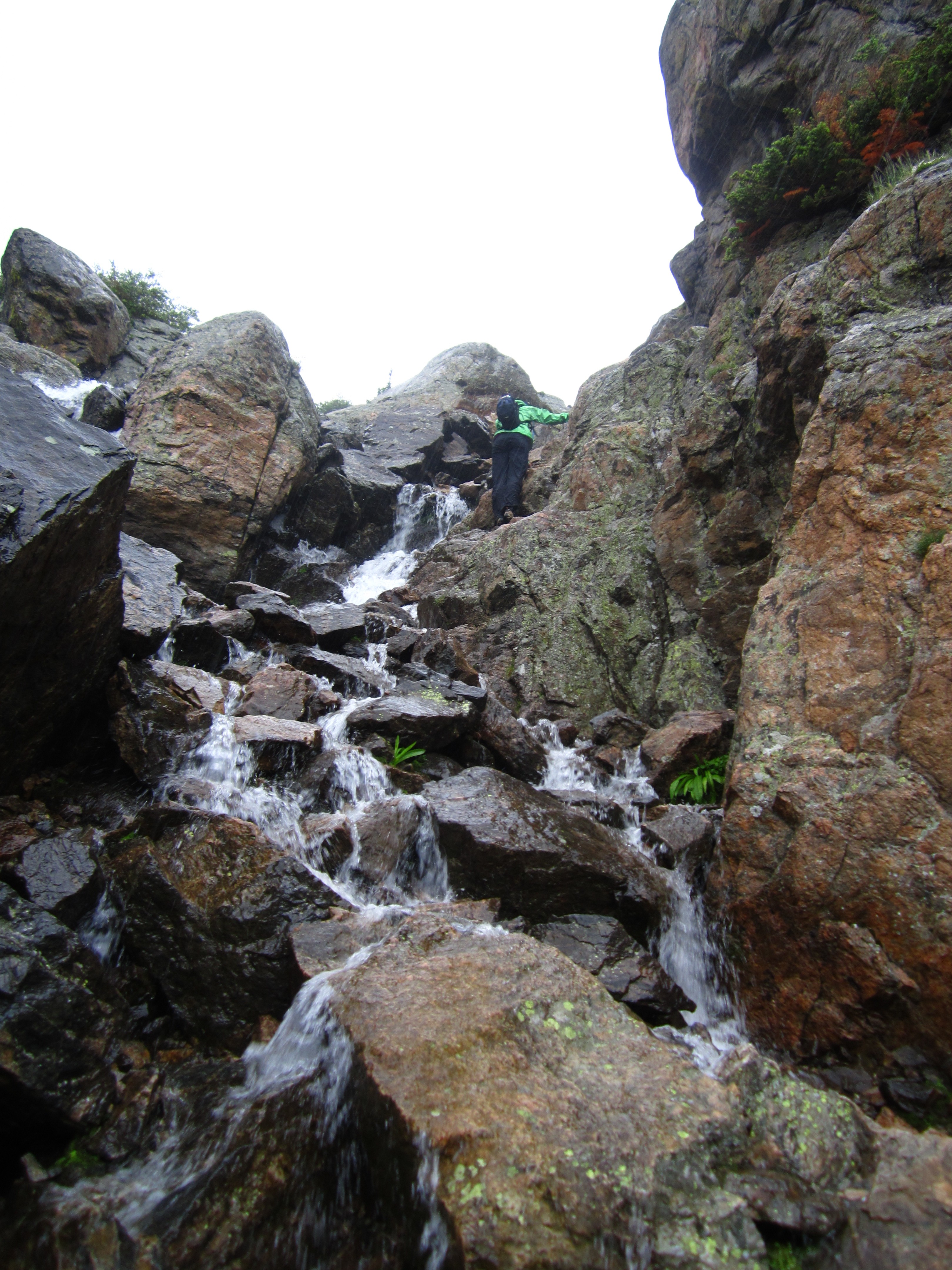
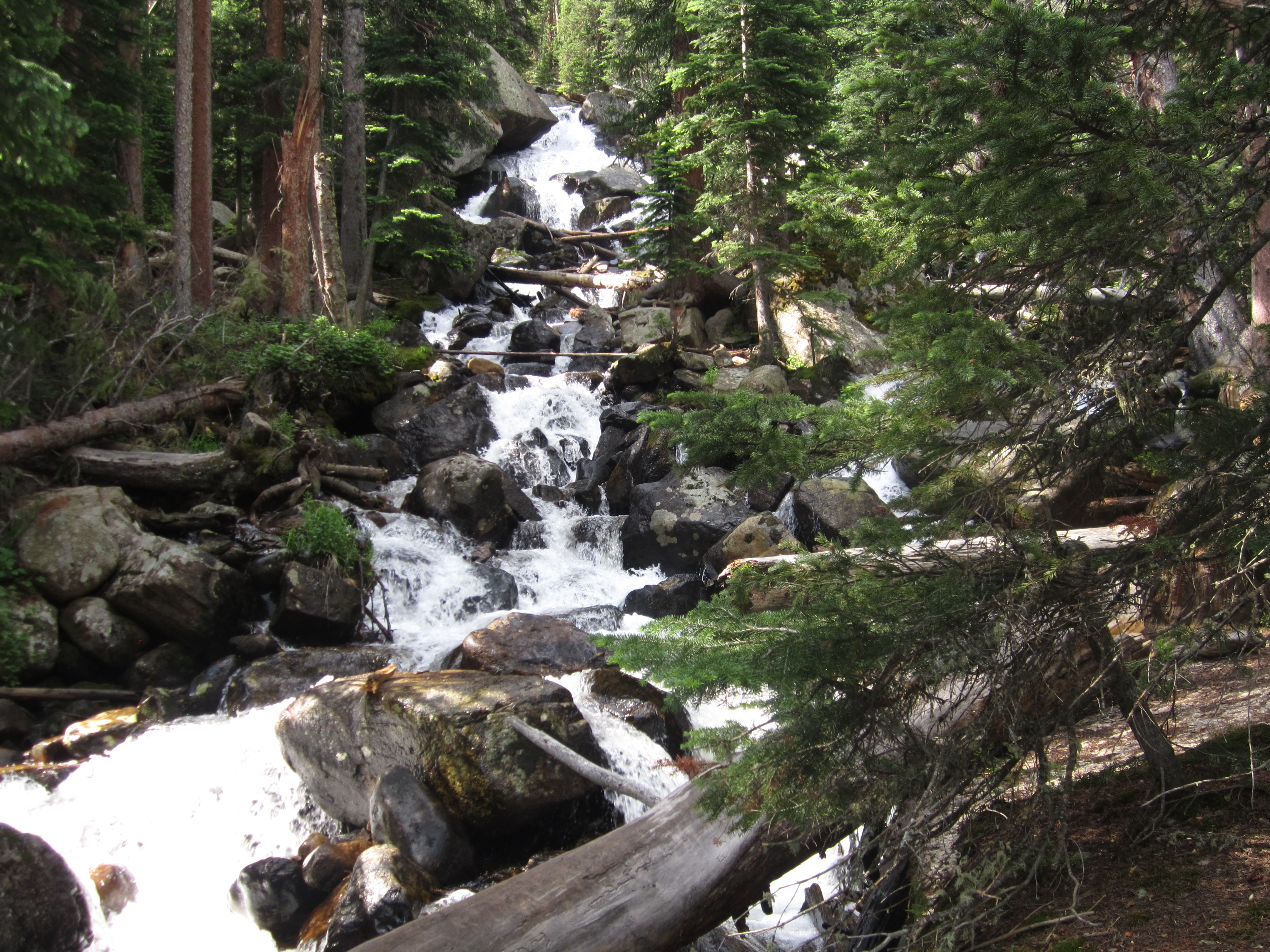
At Lake Haiyaha, we made the decision to keep moving on to The Loch, also referred to as Loch Vale interchangeably. We hiked back out to where the trail forks and followed the path that leads to the Mills Lake/The Loch junction. The path took us through thick forests, damp from the daily thunderstorms RMNP has been washed with each afternoon for the past week. Occasionally, we would find a narrow creek sprinkled with wildflowers on either sides. We followed this route for about 2.1 miles and then took the Loch Vale Trail the remaining .9 miles to the lake. This almost mile encompasses a series of switchbacks that steadily climb alongside Icy Brook. The roaring waterfalls and rushing water can be heard throughout this section. As we ascended higher we caught glimpses of the cascades in the valley below. Seen below are a few photos along Loch Vale Trail.
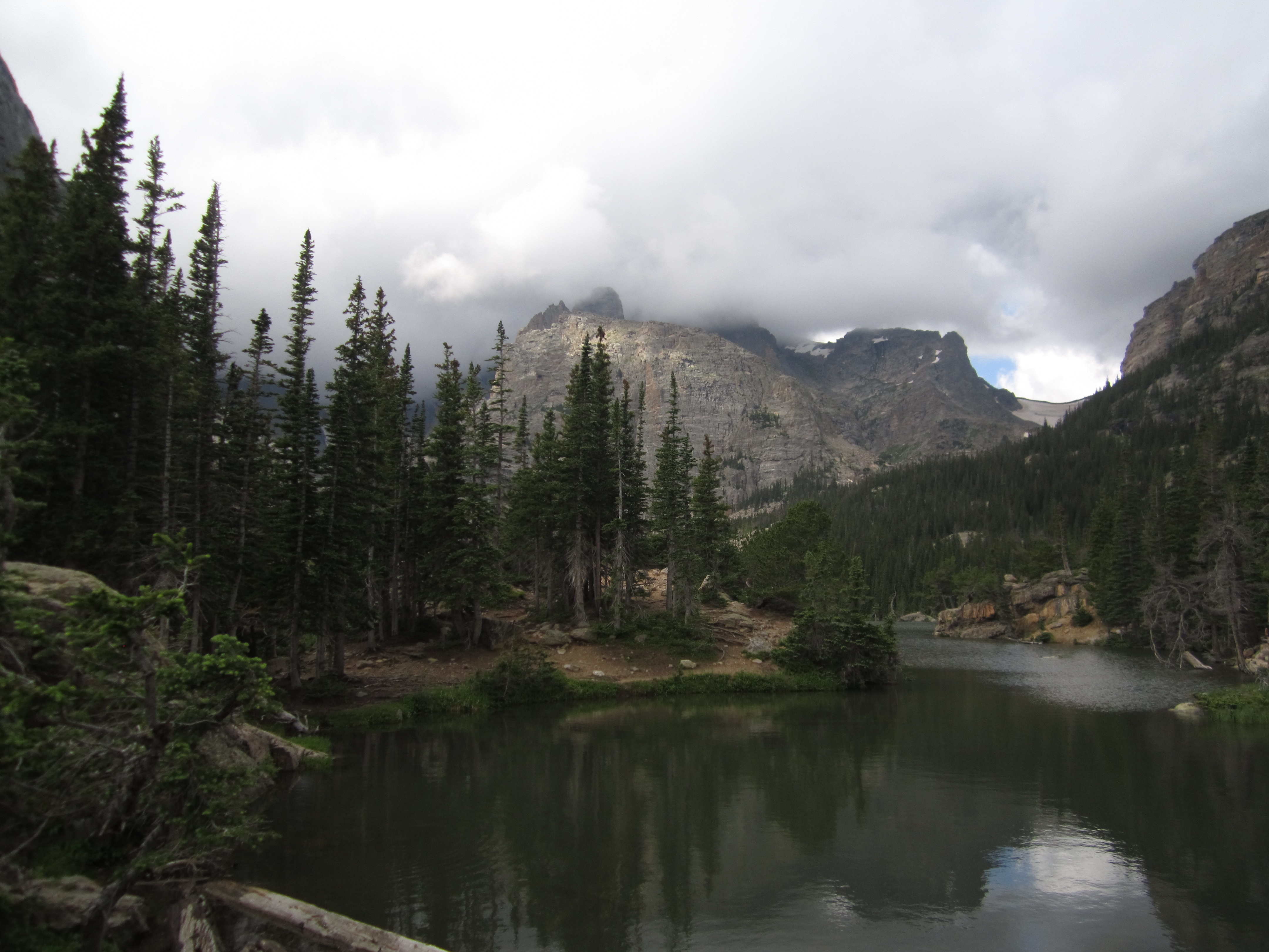
As we reached the lake a gentle fog began to roll in, and the air filled with a thick mist. The sky was much darker now, and the sun had played enough for the day. There was a profound silence at the Loch. A silence to remind us of the enormity of the backcountry. The remoteness. The Loch is still water fed gently by streams created by Andrew’s Glacier and Taylor’s Glacier. We briefly stopped at the social spur which veers left to take a few pictures before continuing on the main trail that skirts the Loch’s lengthy shoreline. Dramatic views of Taylor Peak and Glacier are seen directly across the lake. The fog enveloped their tops. The sharkstooth stood jagged and prominent and unabiding as a black cloud wrapped around it.
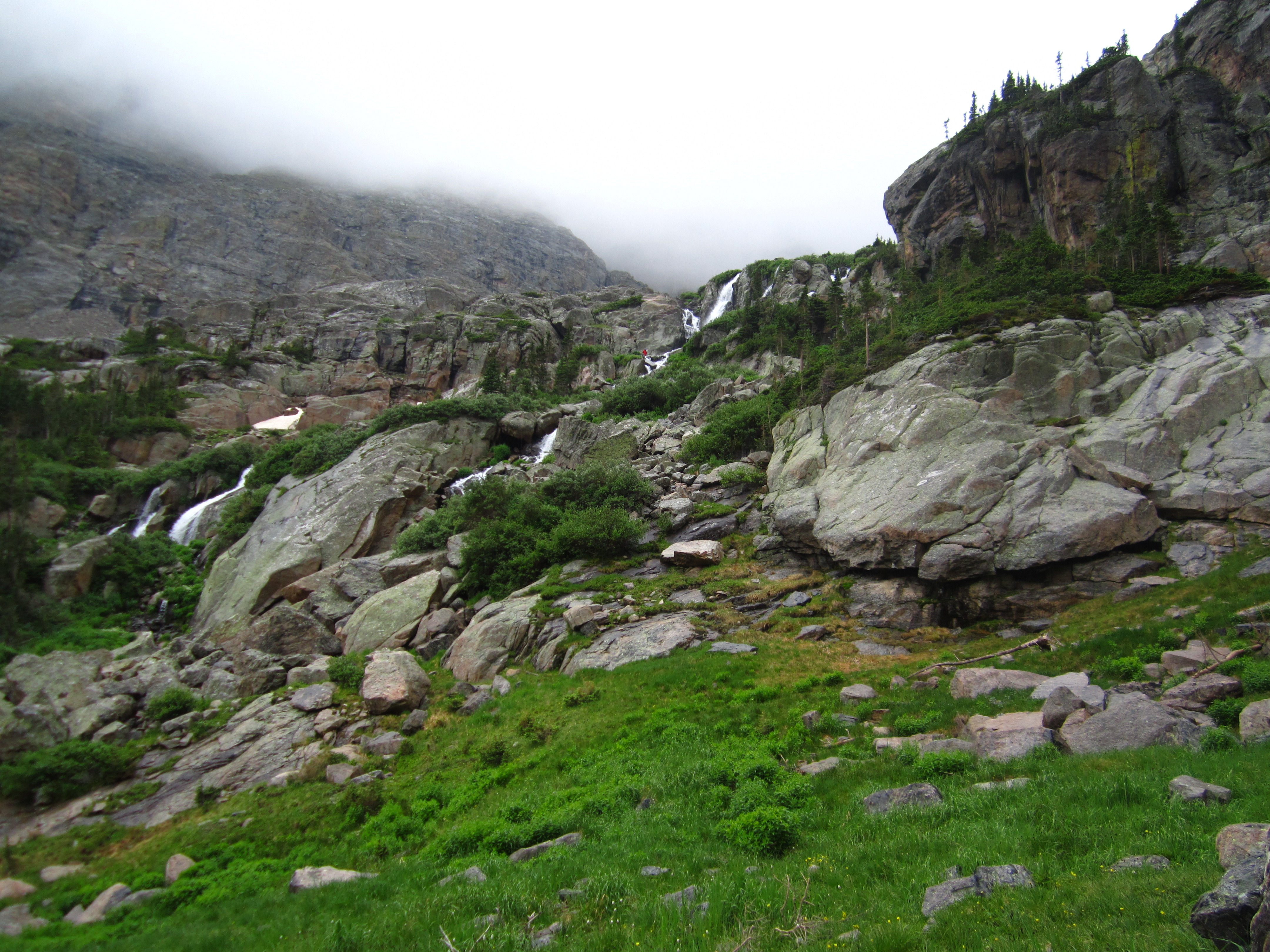
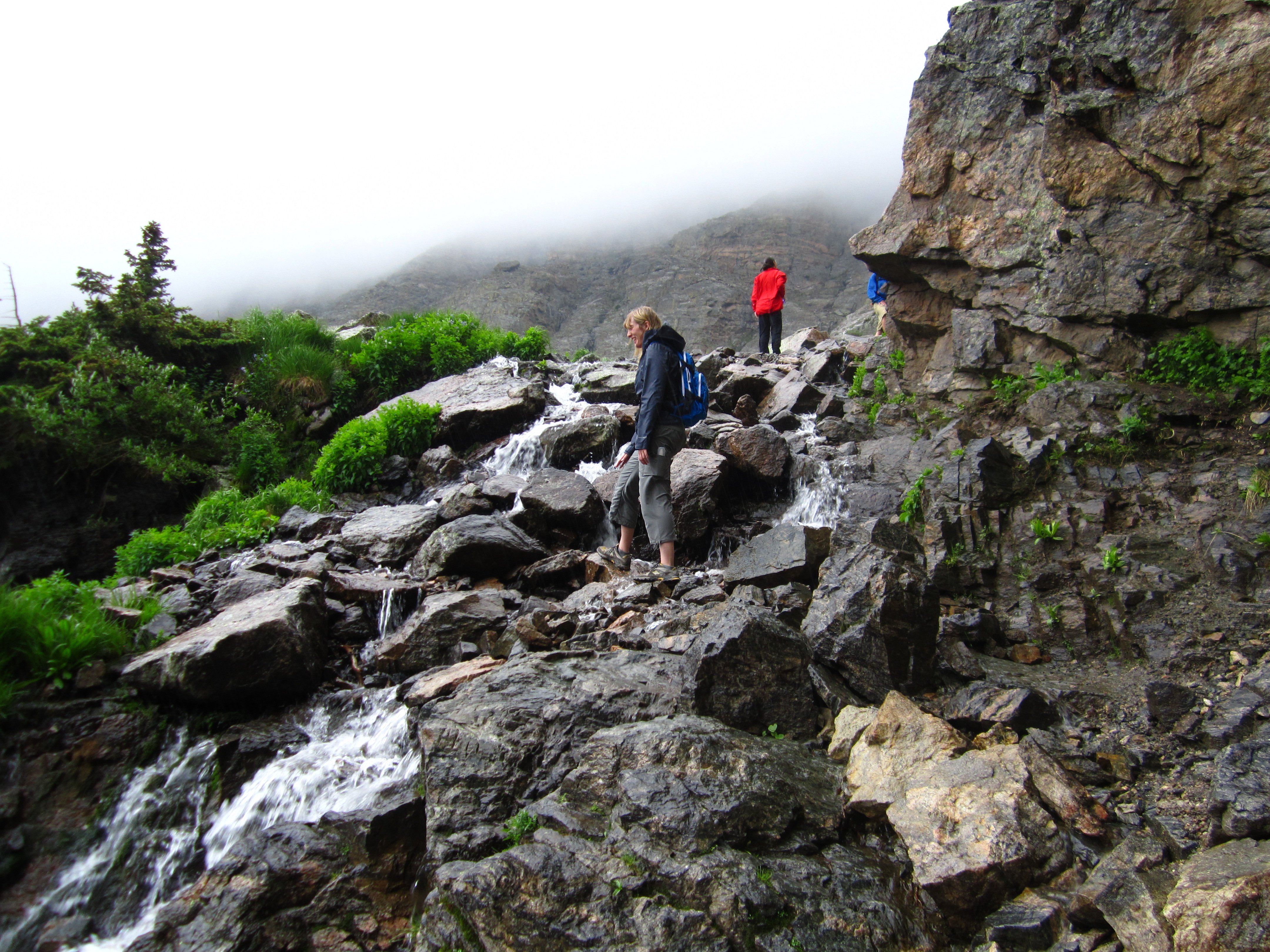
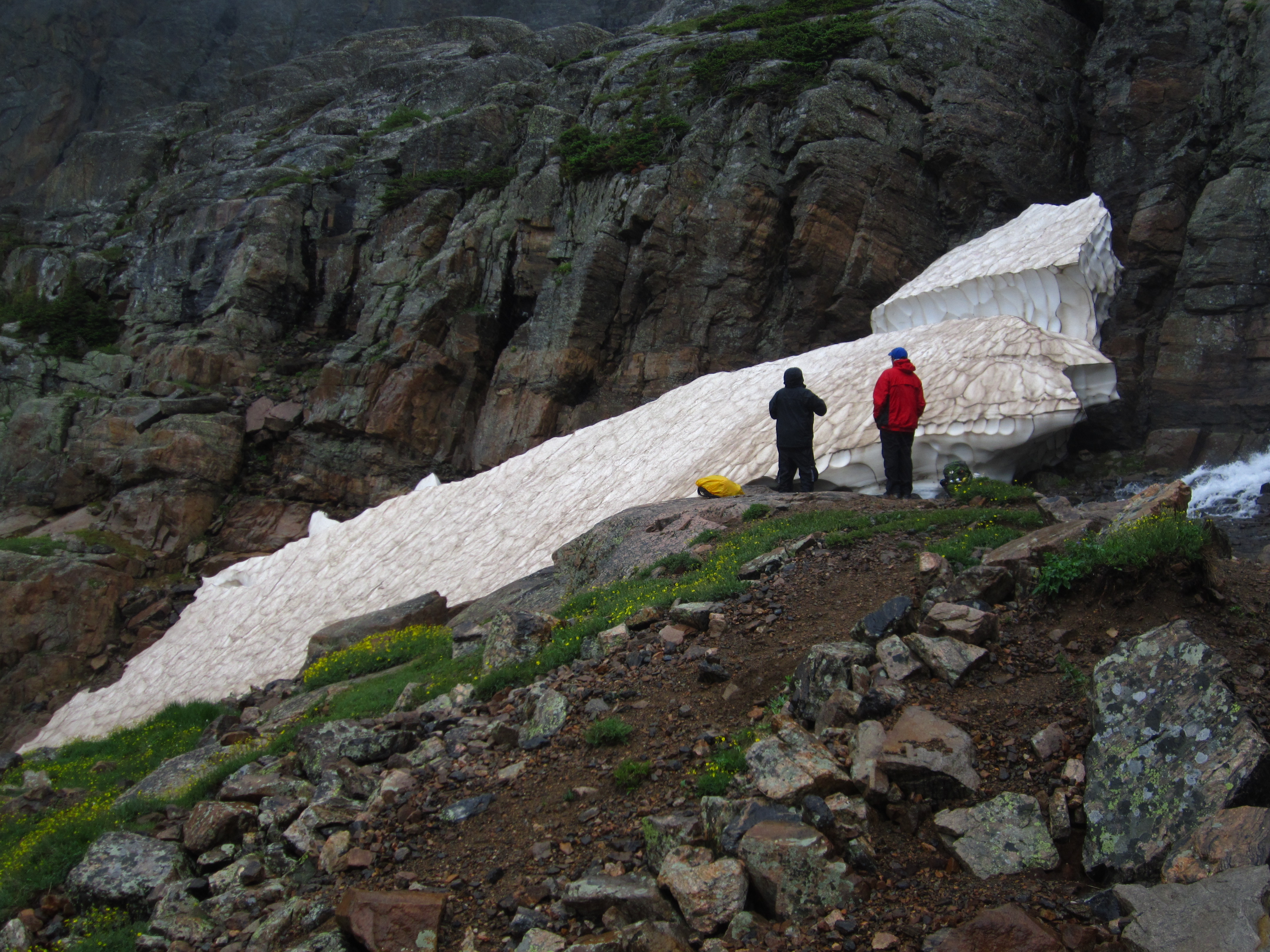
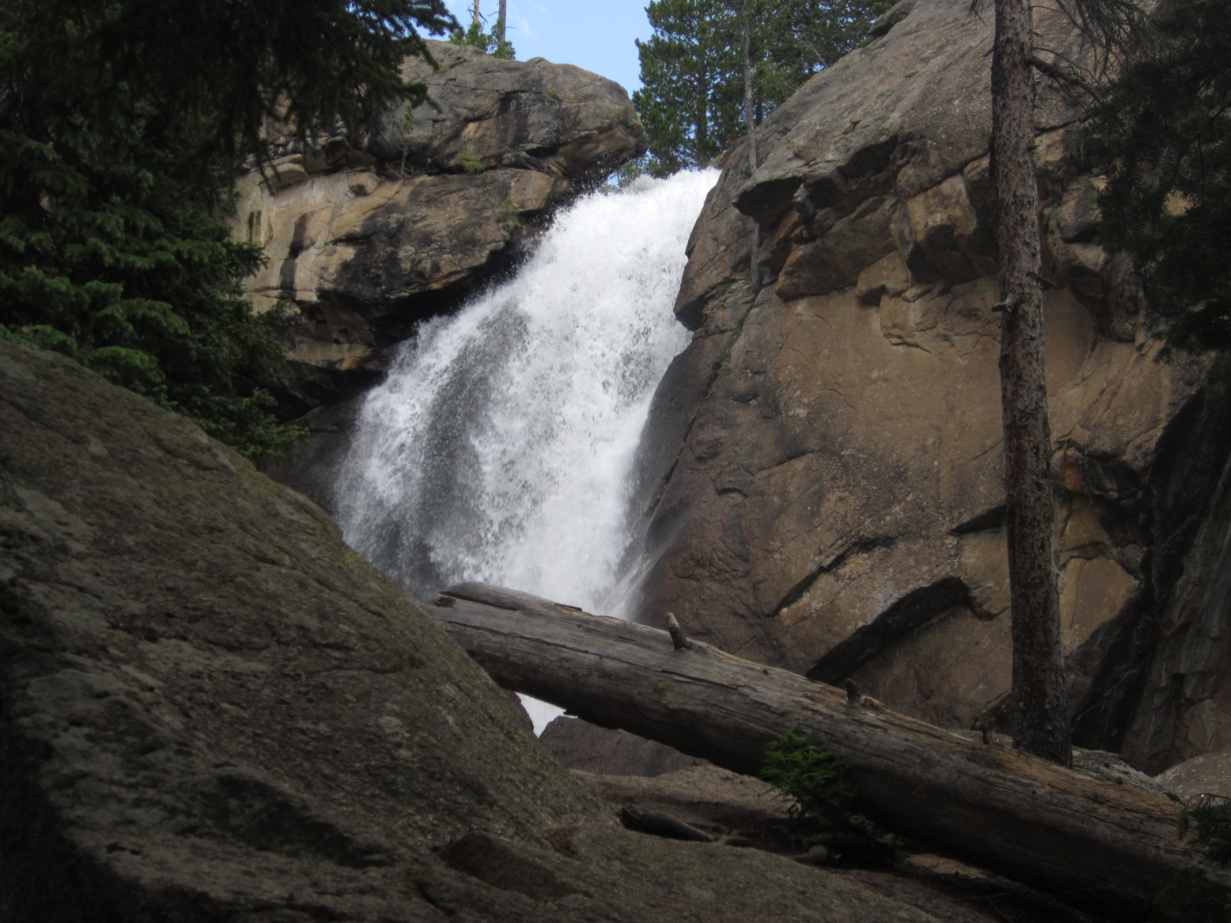
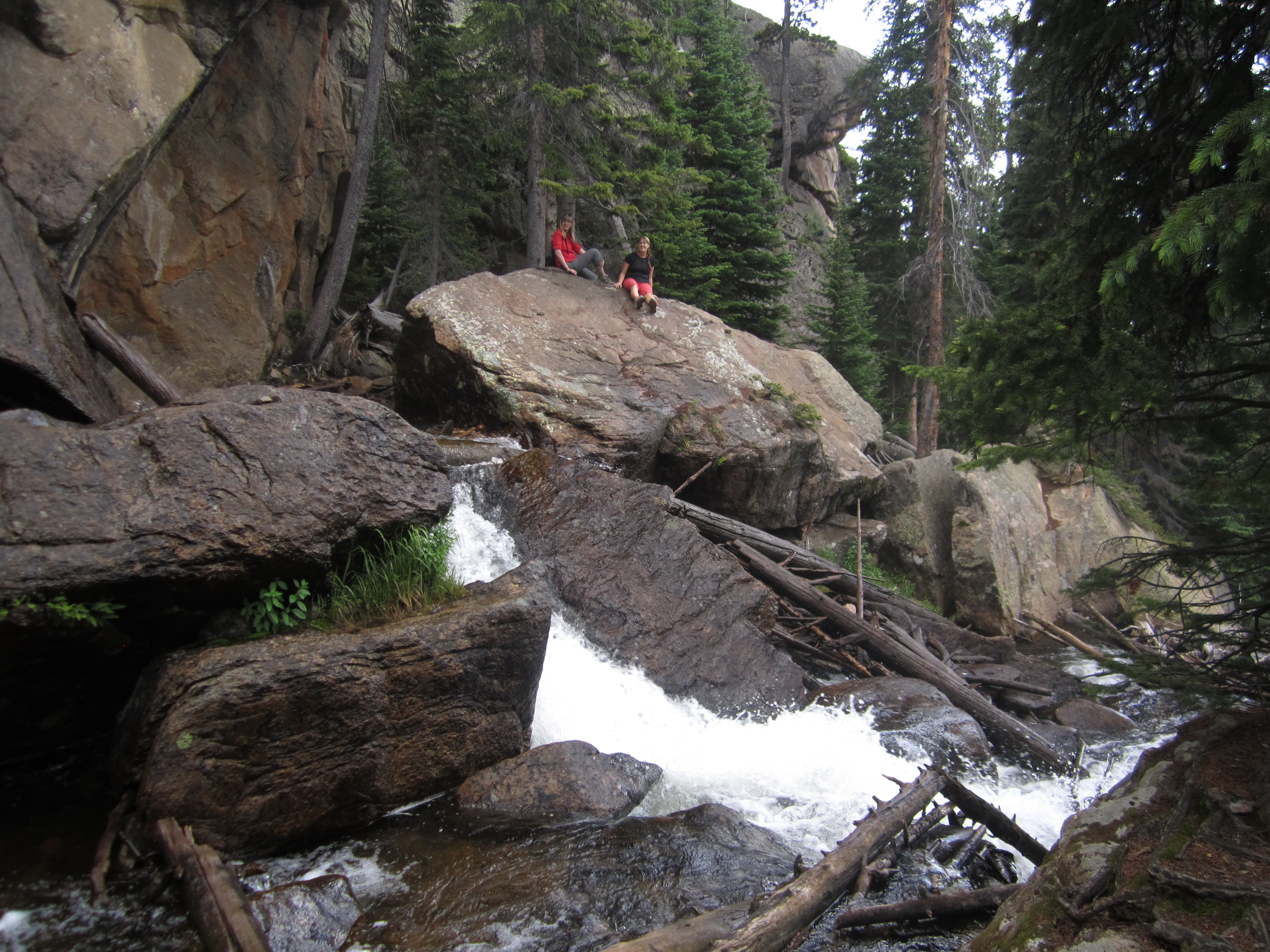
We continued around the north shore of the lake. After a game of chance, we took the route to Timberline Falls instead of Andrew’s Glacier when the trail forked. After another 0.4 miles of gentle climbing we got our first great views of Timberline falls. The views were truly amazing. We were engulfed in its allure and ignored the threat of rain. Our gentle trail then turned steep as it climbed over 200 feet in just under 0.2 miles. We climbed steadily and reached the falls. And then the rain came. As we climbed and explored the falls, the temperature dropped to 40 degrees, the rain pelted down on us and the wind picked up dramatically. We were less than 500 feet from reaching the Lake of Glass and Sky Pond just beyond the falls but had to turn back due to extreme conditions. The rocks and boulders above the falls made traction impossible. Our hands were freezing, and though we had water resistant clothes, we still were soaked very soon. Seen below is our amazing journey to Timberline Falls.
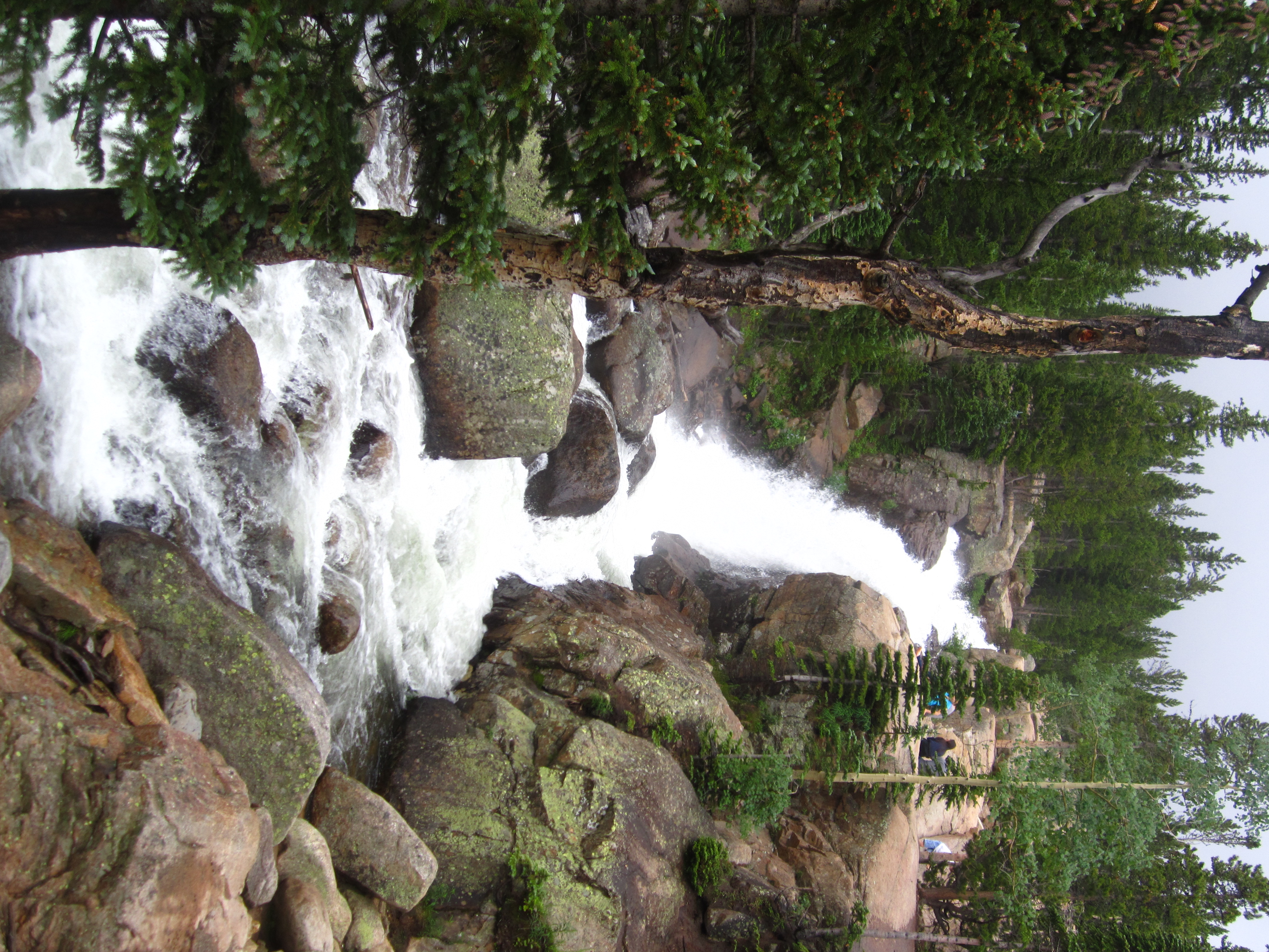
The excitement of our journey to the falls quickly turned into regret as our soaked shoes and clothes clung like ice to our wet bodies. We walked as quickly as possible back down the steep terrain and quickly made it the 1.8 miles back to the Loch Vale. We skirted the lake, took one last quick look and hauled it to escape the weather. Instead of returning to the junction and heading back to Lake Haiyaha, we veered northeast towards Alberta Falls and Glacier Gorge Trailheads. About another mile in our clothes dried, and we slowed it down and took a break at Alberta Falls. Though quite lovely in their own right, seeing Ouzel falls and Calypso Cascades last week and climbing on Timberline falls made these falls seem just pretty. We also met the crowds again at this POI. Below are a few photos of Alberta Falls.
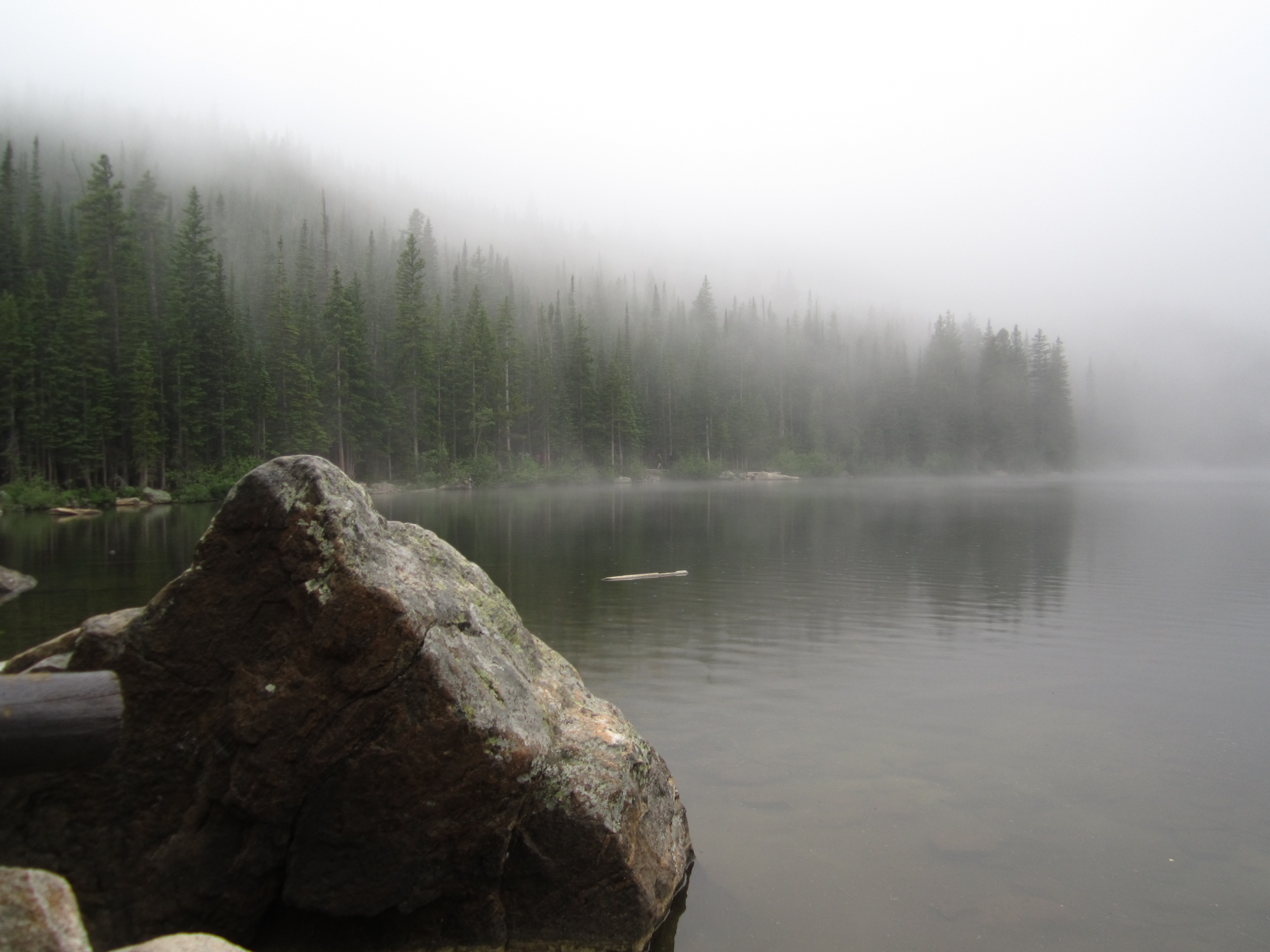
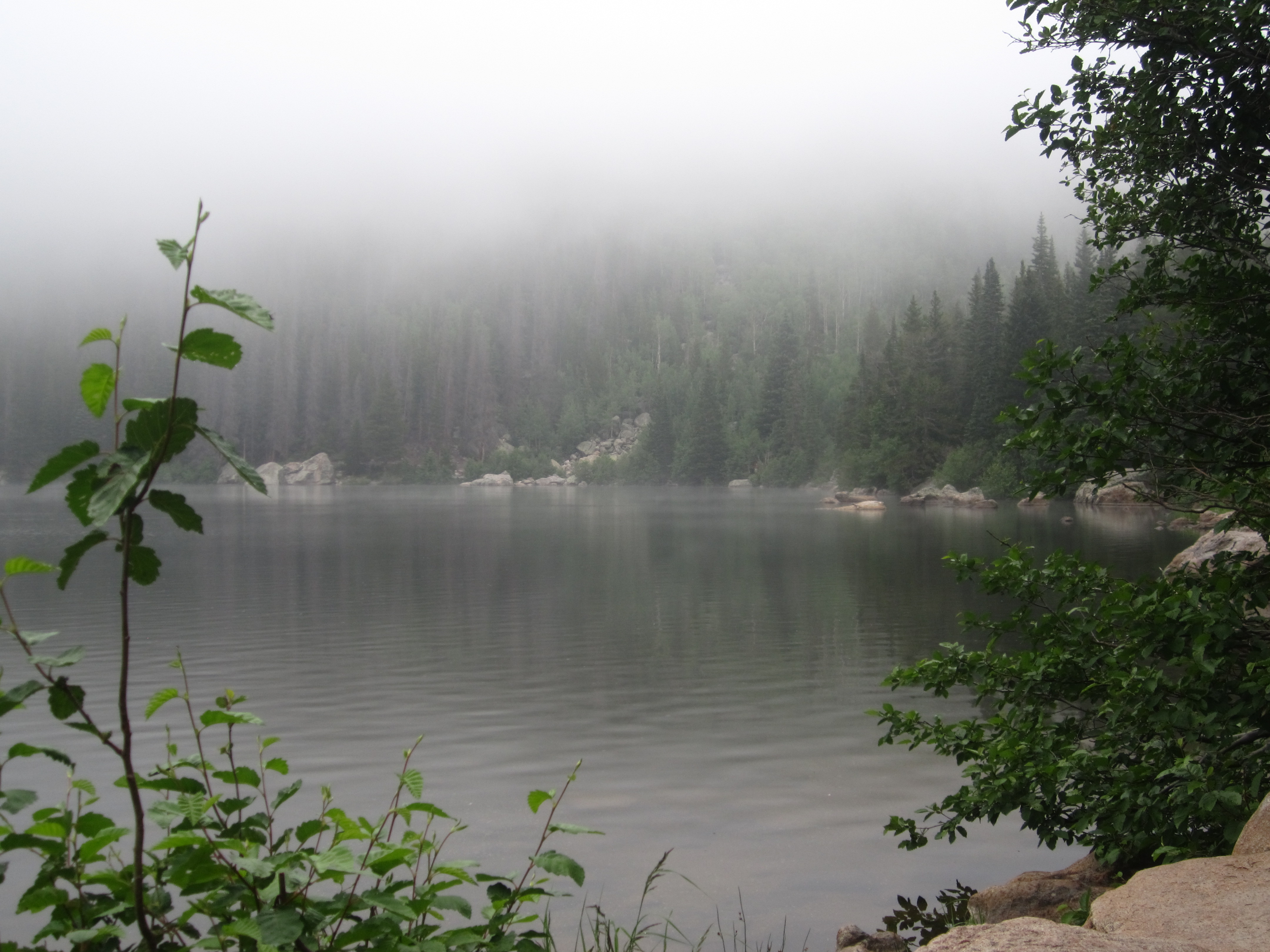
Though the storms subsided, we saw another dark cloud rolling in and opted to trail run the last 0.8 miles back to Bear Lake. It was exhilarating running in the cool air through trees and rocks and alongside falls and canyons. We finished the last mile at a pace of about 6.7 miles per hour. After this 10 mile trek, it was nice to be back a the trailhead. We finished the day by finally seeing the famous Bear Lake. Fog gently rolled in and made for a spectacular, relaxing finish to our day. We sat on a bench and watched it come in as it covered the waters and us like a cool blanket.
Ouzel Falls and Lake: Wild Basin

Distance: 11.13 miles (out-and-back; spurs) Elevation Gain: 1,702 ft
Max Elevation: 10,033 ft Min. Elevation: 8,517 ft
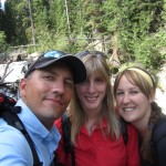
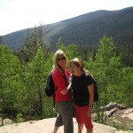
For our Fourth of July celebration, we thought what better way to celebrate than by exploring a little bit more of the country on foot. Thus, early on Independence Day morning we awoke from our cool mountain slumber at Estes’s Park Discovery Lodge and headed back to Wild Basin in Rocky Mountain National Park. We reached the park entrance at about 8:20 am, and purchased our season entrance pass (40 dollars) and then followed the dirt road for about 1.2 miles to the Wild Basin Trailhead and parking lot. Luckily there were still a few parking spots at the trailhead allowing us to finally set out on foot in the beautiful southeastern part of this park. Seen below is a picture of part of us at the trail head. Our friend Julia from Houston was able to join us on this scenic hike.

The sounds of rushing water can be heard frequently along the early portion of the trail as it follows the St. Vrain Creek closely. The rewards are frequent and early on this hike, and after a mere 0.3 miles, the trail led us to a splendid visual spectacle as it approached Copeland Falls. We paused a brief moment along a rock shelf and absorbed the cool breezes from the swiftly flowing creek. Photos of Lower Copeland Falls can be seen below.
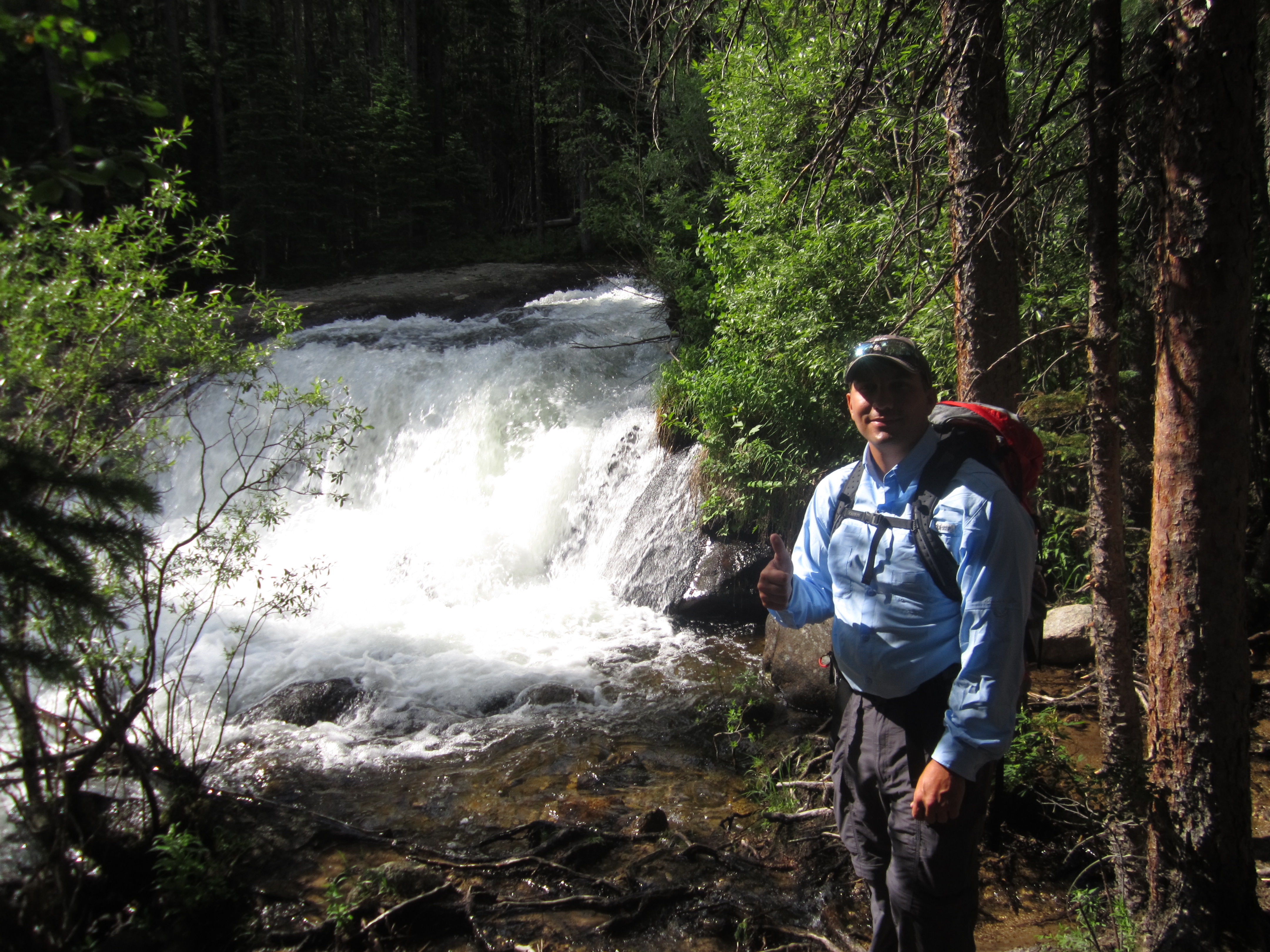
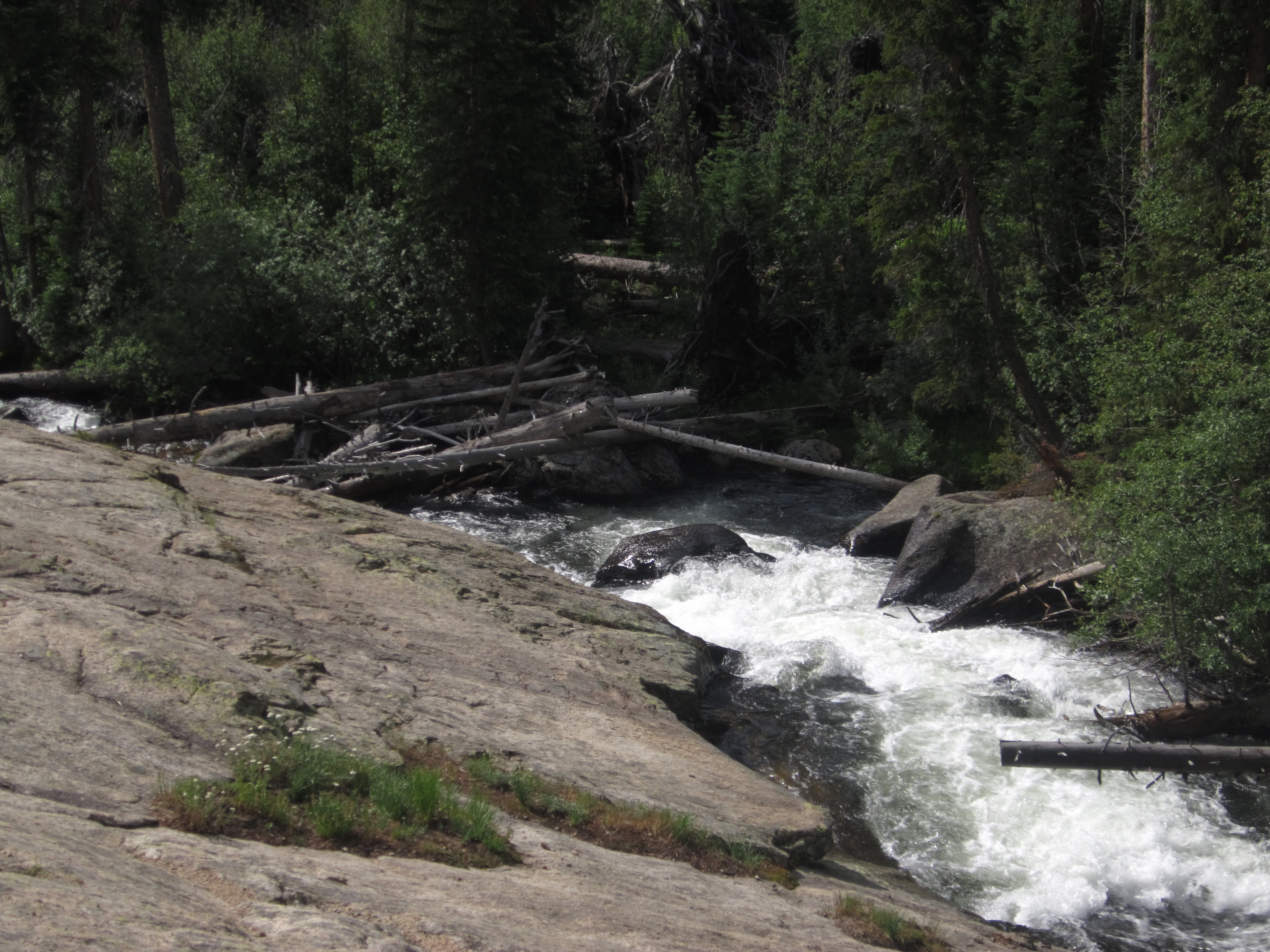
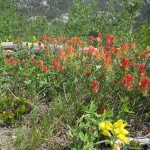
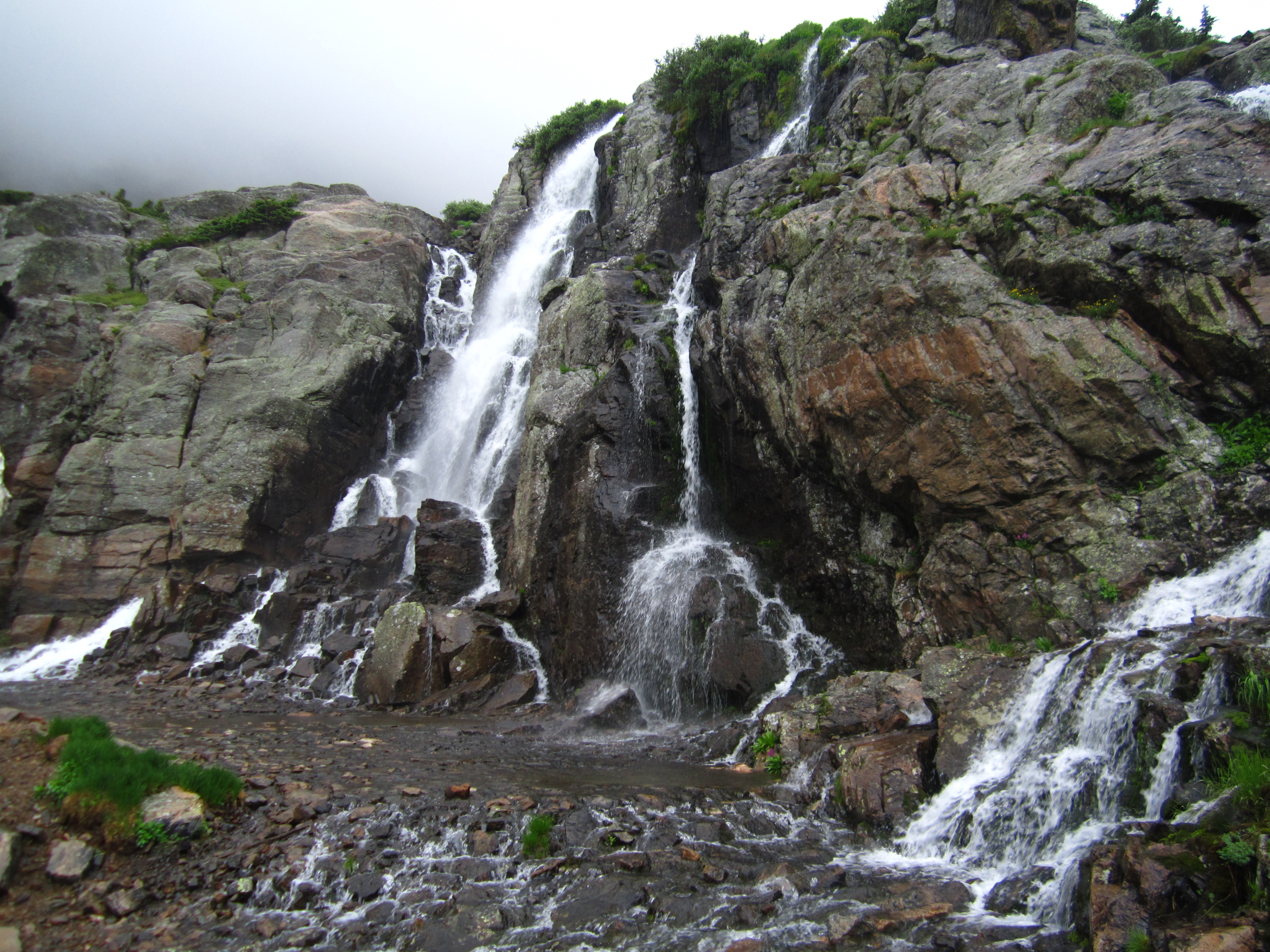
The next 1.5 miles of the trail, led us through a cool shady forest of Lodgepole Pine interspersed with Aspens and firs. There were also many beautiful wildflowers adding color to sides of the brown dirt path we followed. The path made moderate climbs leading over numerous log bridges that crossed the creek and various falls. At approximately 1.8 miles we reached Calypso Cascades which is fueled by Cony Creek and appears to converge with the North St. Vrain Creek further below. This amazing set of falls flows under a log bridge on the trail. The bridge offered us impressive views of the pristine water flowing down the steep granite wall over 200 feet below and refreshing cool sprinkles of water. Gentle thunderstorms over the past several days and fresh snow melt allowed for tumultuous river flow and an impressive spectacle. Top: Bridge over unnamed fall; Bottom: Calypso Cascades
After the cascades, the traffic flow on the trail thinned out a little bit more as we proceeded to Ouzel Falls. The trail gradually gained elevation for the next mile to the landmark Falls and followed a north facing valley wall. The climb was moderately difficult for this brief period but offered us lovely views of Mt. Meeker and Long’s Peak at various points. It really put in perspective for us just how much higher we would have to climb to summit Long’s Peak. After the brief climb, we reached the famous Ouzel Falls. The creek, falls and lake are named after the Ouzel or “dipper” bird native to the area. A very lengthy bridge crosses over the creek here and offers nice views of the powerful falls. We wanted a better look at the water fall, so we climbed up granite boulders alongside the falls that are located on both sides of the bridge to get higher and closer. The climb up wasn’t too easy and rocks were a bit slippery, so exercise extreme caution when doing this. The fall off the edge did not look very survivable. Seen below are photos of the Falls from the bridge as well as our climbs. Notice the sheer size of Ouzel Falls by the photo of us sitting on the boulders.
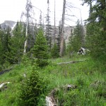
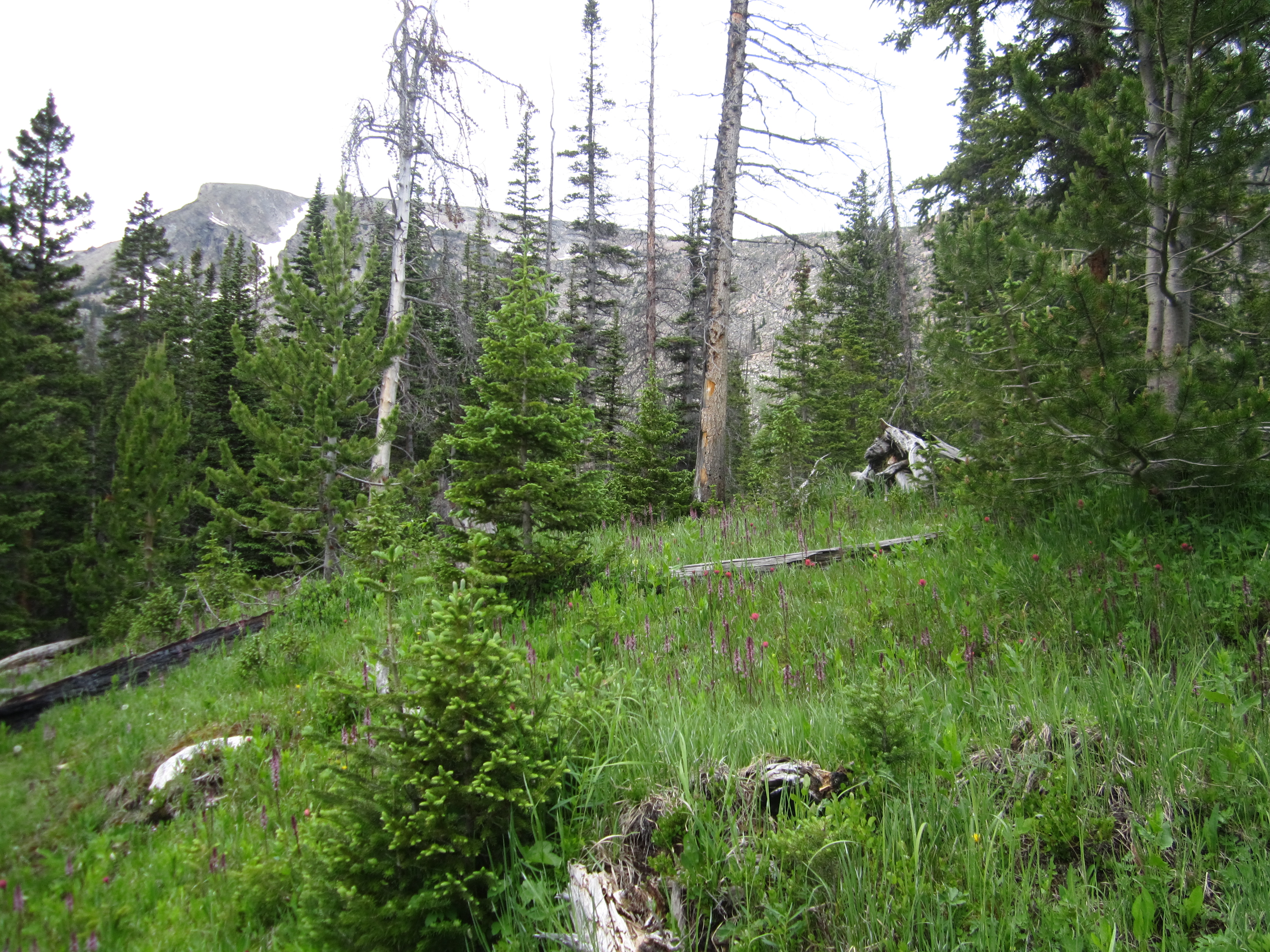
After about 20-30 minutes hanging out at Ouzel Falls, we knew we needed to keep moving to reach Ouzel Lake and have time to enjoy lunch so we proceeded on. After Ouzel Falls, we saw very few hikers. The hike to the lake began with steady gains in elevation which turned into steep gains in elevation. Our blood was pumping and legs burning, but we all tried to keep a steady pass that we could sustain. Eventually the trail opened up to the once charred hillsides that are remnants of the infamous 1978 fire caused by lightening near Ouzel lake. The fire was thought to be a “cleansing” fire and was left alone but due to high winds it grew dramatically and destroyed over 1,000 acres of land before containment. The fire stricken hillsides without the cover of the trees emanated an eerie vibe. However, the grasses and wildflowers littering the treeless hillsides were a reminder that life does prevail. Photos from the last 2 miles to the lake can be seen below.
We finally approached a trail sign directing us on a spur that led 0.5 miles to Ouzel Lake. Alternatively, the trail continues on to Bluebird Lake 2.0 miles further. The spur was muddy and wet as we gently descended to the lake. It was truly exciting when we reached our tranquil lake destination. Ouzel lake is a very shallow lake and we could clearly see the rock bottom as we searched along it marshy banks for a place to stop and relax. The lake is home to the native Greenback cutthroat and is a work in progress. The park is working on reestablishing a population in many streams and rivers in the park. Since the restock is small, these fish are catch and release only. Pictured below is Ouzel Lake.
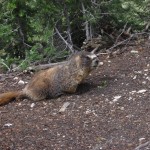
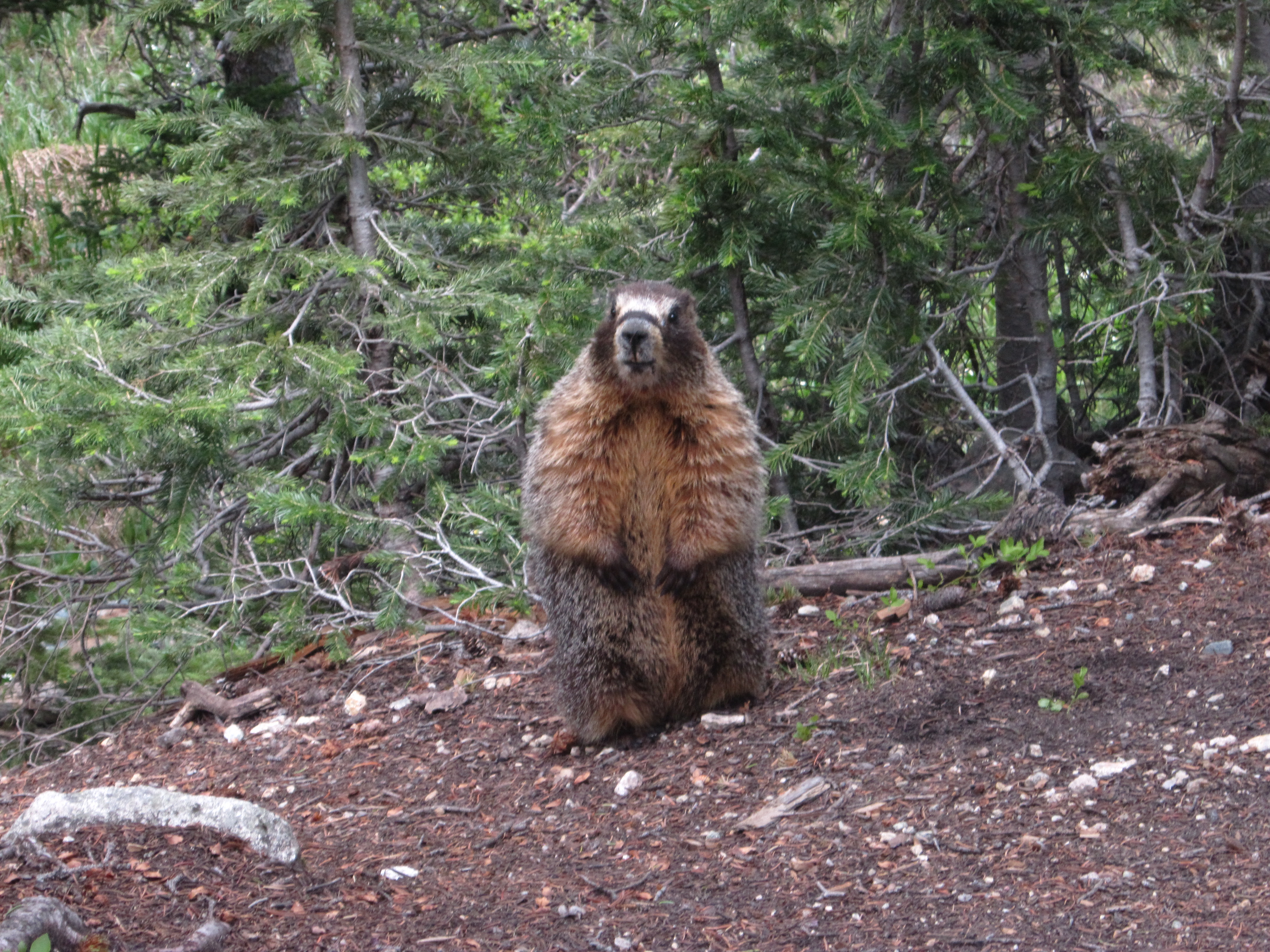
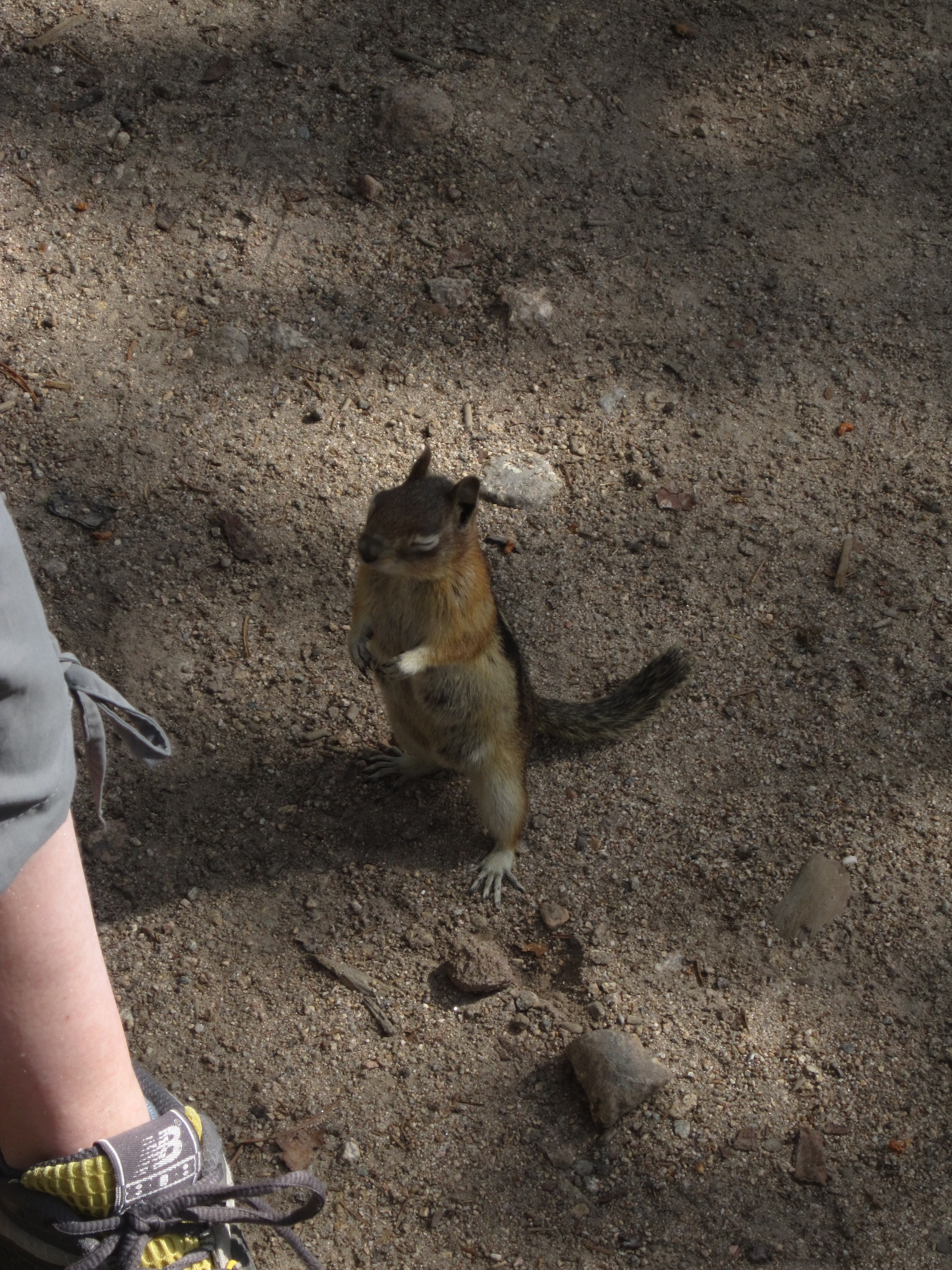
We quietly relaxed on rocks overlooking the lake and ate much deserved peanut butter and jelly sandwiches and drank down gatoraide. While relaxing, sneaky little creatures visited our picknick and tried to take our snacks. We encountered multiple chipmunks and a large marmot while resting on the rocks.

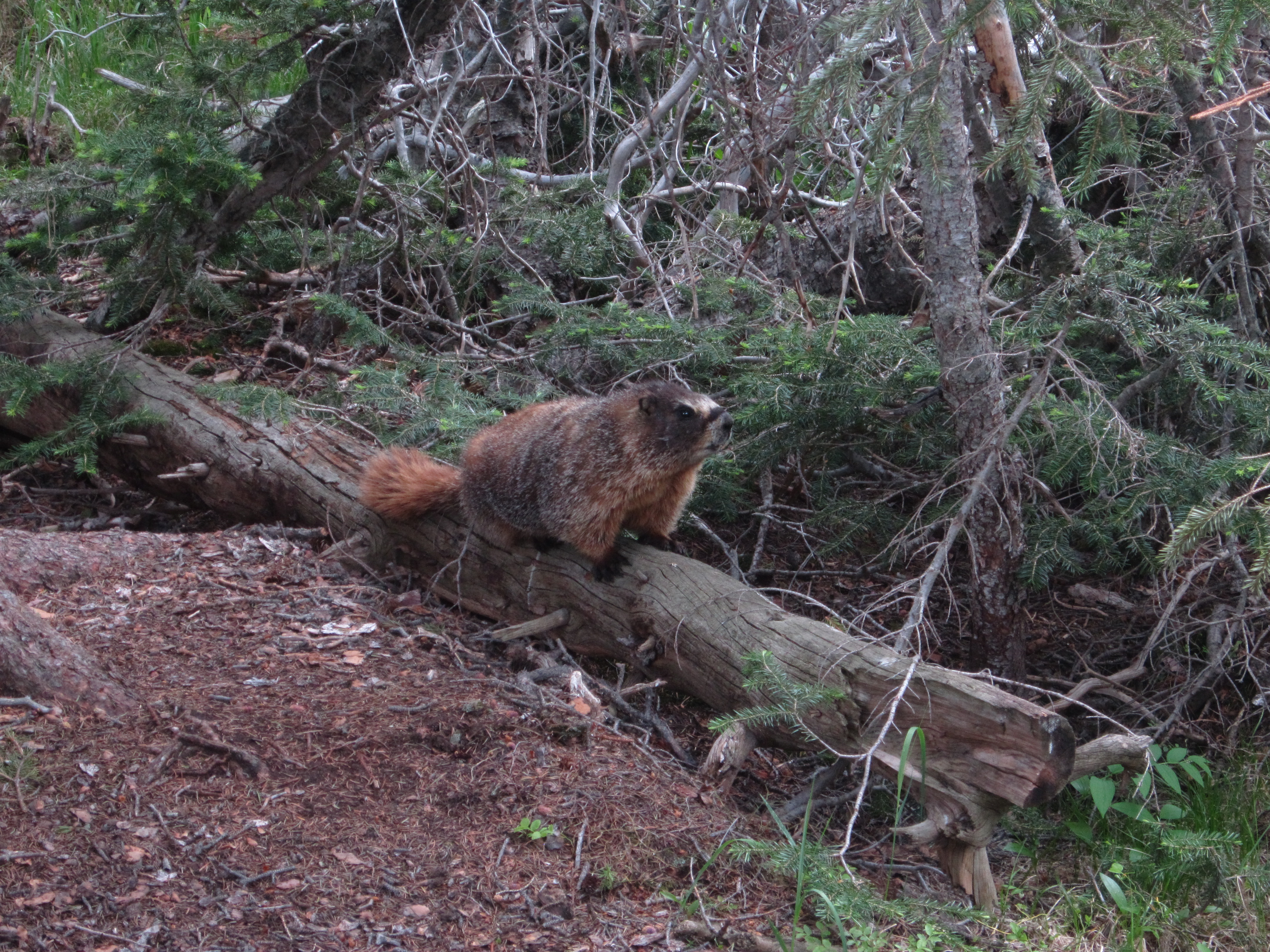
The spur that leads to Ouzel lake off of Bluebird Trail only allows for easy access to one small north side section of the lake. Since we had carried along our fly fishing gear, we wanted a chance to snag a decent fishing spot. Thus we proceeded to skirt the edges of the lake towards the west side with no trail for guidance. The land that surrounds the lake is a marshland. As we looked for dry spots to plant our feet, we felt the ground give way like a sponge. There was water everywhere and very thick brush and trees to navigate in between. But, we were quite determined, and at the very least wanted to make it to a small clearing that opened up just past a narrow stream. Branches scraped and stung our skin, and dampness beyond sweat began to creep between our toes. We reached the clearing just as the rain began to come down. What first appeared as just a few light drops on our skin quickly turned into steady downpour of heavy, cold drops. At this point we opted against fishing and decided to try for Bluebird Trail, which according to our map should be just north of us. Unfortunately, the path to the trail, for all descriptive purposes, was a pond hidden to us by grasses and marsh. We briefly attempted a navigation across various logs strewn across the low lying bed, but gave up as the rain did not relent. Slightly disappointed but still proud of our off trail journey, we proceeded back to the Spur trail and headed back toward the Bluebird/Ouzel Spur fork. Along the way, we were greeted with another marmot friend that stared down Julia for a while. Apparently our little friend was not used to people hanging out in this part of the land. Seen below are more photos from the lake, marsh and creek beds that connect to the lake.

We headed back to the trailhead after our exploration of the lake and enjoyed the scenery from a different perspective. It was relatively quiet until we were back to Ouzel falls and then it became pretty crowded. By the time we were past Calypso Falls we were almost never alone on the trail. For the last mile we were part of a long line of hikers with about 10 to 15 hikers in front of us and another 10 behind us. We were glad to be back in the parking lot and felt very accomplished for the day. After our long trek we decided to head into Estes Park and get some well deserved pizza and ice cream. To date Ouzel Lake has been our favorite hike. Our Garmin E-trex 20 recorded our journey at approximately 11.13 miles. If you stick to the trail to the lake and back, the journey will be around 10.5 miles.