A Quest into the Wild
La Plata Peak: Sawatch Range
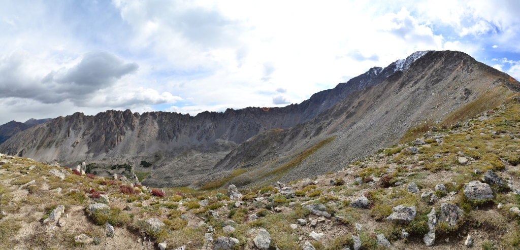
Distance: 9.38 miles (out and back) Elevation Gain: 4,314 ft. (total) 4,114 ft (net) Max Elevation: 14,209 ft. Min. Elevation: 10,095 ft. Winter is coming. And unlike Game of Thrones, it is actually approaching rather quickly, more so, in fact, than we would like. Having an extra day off this past…
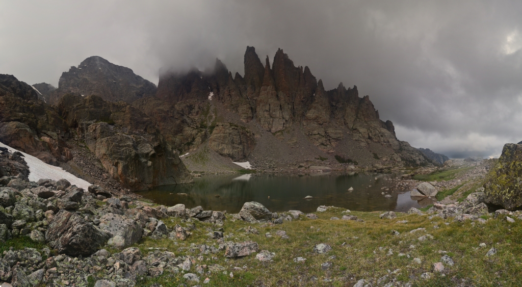
Mills Lake and Black Lake: RMNP
Distance: 10.6 miles (out and back and exploration) Elevation Gain: 2,367 ft (total gain) Max Elevation: 11,007 ft Min. Elevation: 9,224 ft The map on the left is our route from TH to Black Lake. The map on the right shows our route past Black Lake and displays relative locations of…
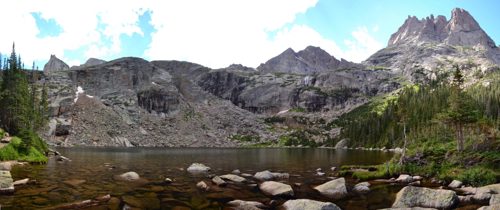
Sky Pond and more: RMNP
Distance: 9.73 miles (out and back) Elevation Gain: 2,405 ft (total gain) Max Elevation: 11,926 ft Min. Elevation: 9,212 ft Last summer we enjoyed a nice, long hike that led us to stops at Nymph Lake, Dream Lake, Lake Haiyaha, The Loch, Timberline Falls, Alberta Falls,…
The Sawtooth (Mt. Bierstadt & Mt. Evans)
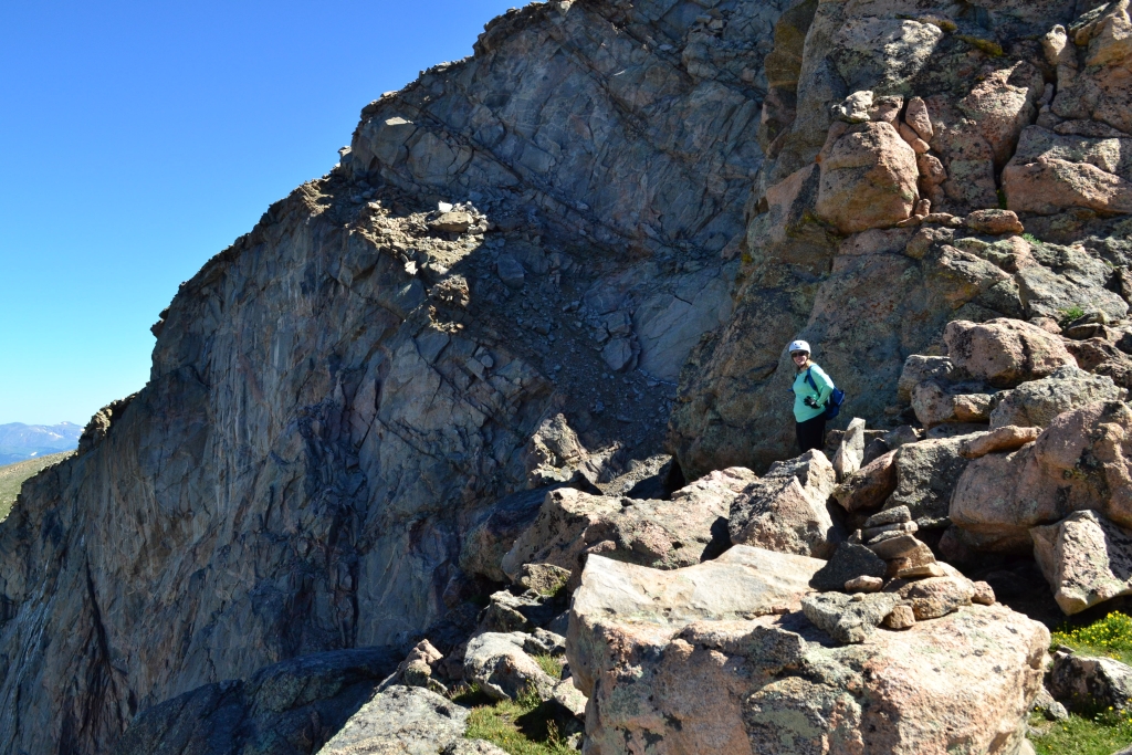
Distance: 11.2 miles (out and back) Elevation Gain: 4,335 ft (total gain) Max Elevation: 14,265 ft Min. Elevation: 11,473 ft We did Mount Bierstadt last year, that route is shown in green in the above Google Earth maps. The blue shows the new route we took to do the Bierstadt-Sawtooth-Evans…