Distance: 10.6 miles (out and back and exploration) Elevation Gain: 2,367 ft (total gain) Max Elevation: 11,007 ft Min. Elevation: 9,224 ft The map on the left is our route from TH to Black Lake. The map on the right shows our route past Black Lake and displays relative locations of Green Lake and Frozen Lake with respect to the waterfall and
Read More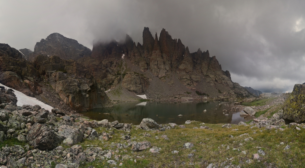
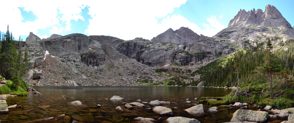
Sky Pond and more: RMNP
Distance: 9.73 miles (out and back) Elevation Gain: 2,405 ft (total gain) Max Elevation: 11,926 ft Min. Elevation: 9,212 ft Last summer we enjoyed a nice, long hike that led us to stops at Nymph Lake, Dream Lake, Lake Haiyaha, The Loch, Timberline Falls, Alberta Falls, and Bear Lake, all spectacular highlights showcasing the many wonders of
Read More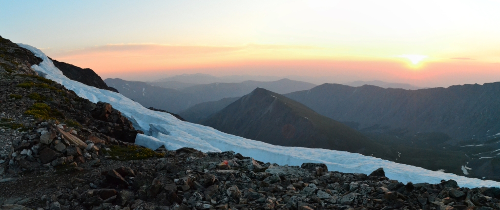
Grays and Torreys Combo (Standard Route)
Distance: 8.52 miles (out and back) Elevation Gain: 3,640 ft (total gain) Max Elevation: 14,278 ft Min. Elevation: 11,225 ft A couple of factors made us get into the X-terra at midnight, drive out to the Grays-Torreys trail-head, and start hiking to the summits at 2 in the morning. For one thing, Grays and Torreys are argued to be
Read More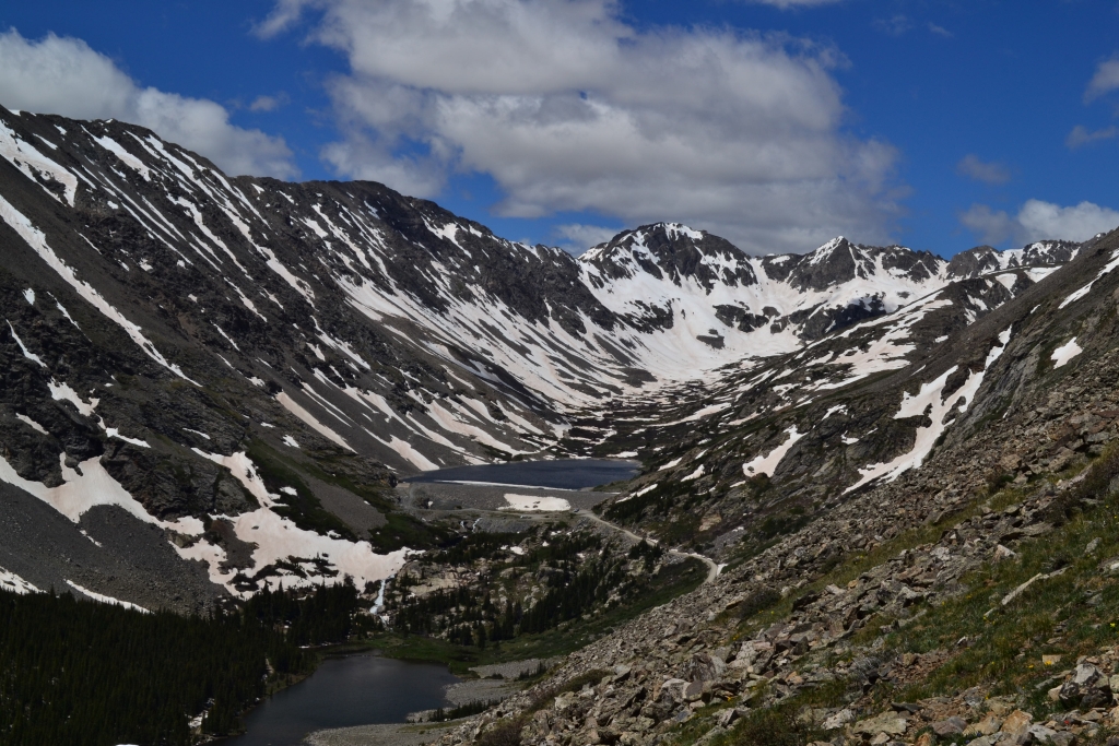
Quandary Peak Summit: 14,265 ft
Distance: 6.84 miles (out and back) Elevation Gain: 3,364 ft (total) 3,371ft (net) Max Elevation: 14,265 ft Min. Elevation: 10,901 ft It felt as though we had only just closed our eyes when we were gently roused by the sounds of The Head and the Heart streaming out of the phone at 3:45 am on Saturday morning. To be honest, we were so excited
Read More