A Quest into the Wild
Missouri Mountain, Sawatch Range, 14,067 feet
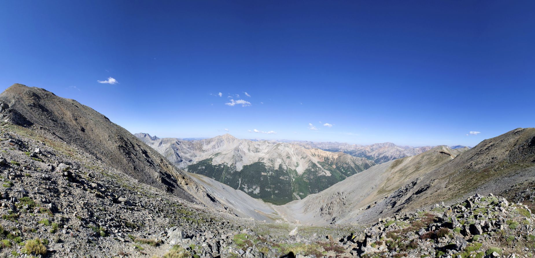
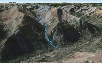
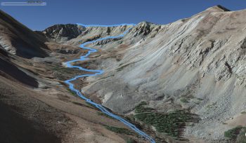
The days continue to get shorter as we progress through the month of August. There is a sense of urgency in the air to attempt our final summer mountain summits before the sleet and snow replace the warm bright rays of the Colorado sun. One last check in on Mountain Forecast last Friday evening revealed a welcome change in the weather report for much of the Sawatch Range for Sunday August 14th. This was a welcome surprise as much of late summer has been plagued with vicious mountain thunderstorms that have thwarted our climbing and hiking plans. We were unable to leave early on Saturday due to work and school obligations, so we needed to find something close enough to Denver to minimize our driving through the dark. We ended up deciding on an attempt of Missouri Mountain which is part of the Collegiate peaks in the Sawatch Range. The standard Northwest Ridge route from Missouri Gulch appeared to offer us a long, scenic hike followed by a long class 2 ascent along a ridge line to the summit and seemed like a good choice for a last minute plan.
We left Denver late afternoon on Saturday and even stood in the parking lot a few minutes debating on whether to enjoy a relaxing evening at home watching the Olympics or whether to hit the road for our last minute adventure. Our need for excitement and fulfillment in the outdoors outweighed our desires for comfort, and we set out towards the Missouri Gulch TH. The trailhead is located off of Chaffee County road 390 (rough dirt 2WD road) which can be found by driving 20 miles south of Leadville on U.S. 24. We noted the exact location of the TH a few weeks earlier as we passed it on the way to Winfield to reach Huron Peak. When we reached Leadville that evening, it was really cold, like 34 degrees cold. Though we had planned to set up camp near the TH, the dark and cold led us to a roadside motel called Mountain Peaks Motel. Not to say that we were not appreciative of the last minute room availability and hospitality of the front desk, but this little motel was a little more rough around the edges than we were accustomed to staying. At times, we wondered if we would have been happier in the woods in our tent. Nonetheless, the night passed quickly, and the 4:45 am alarm startled us awake in the early morning darkness.
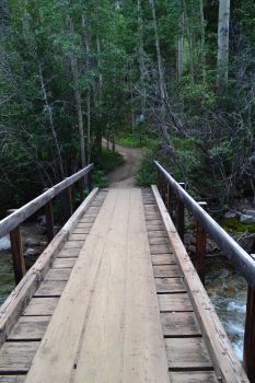
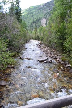
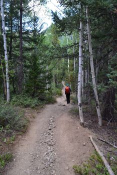
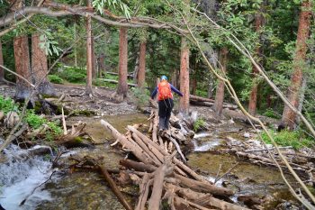
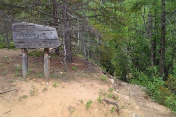
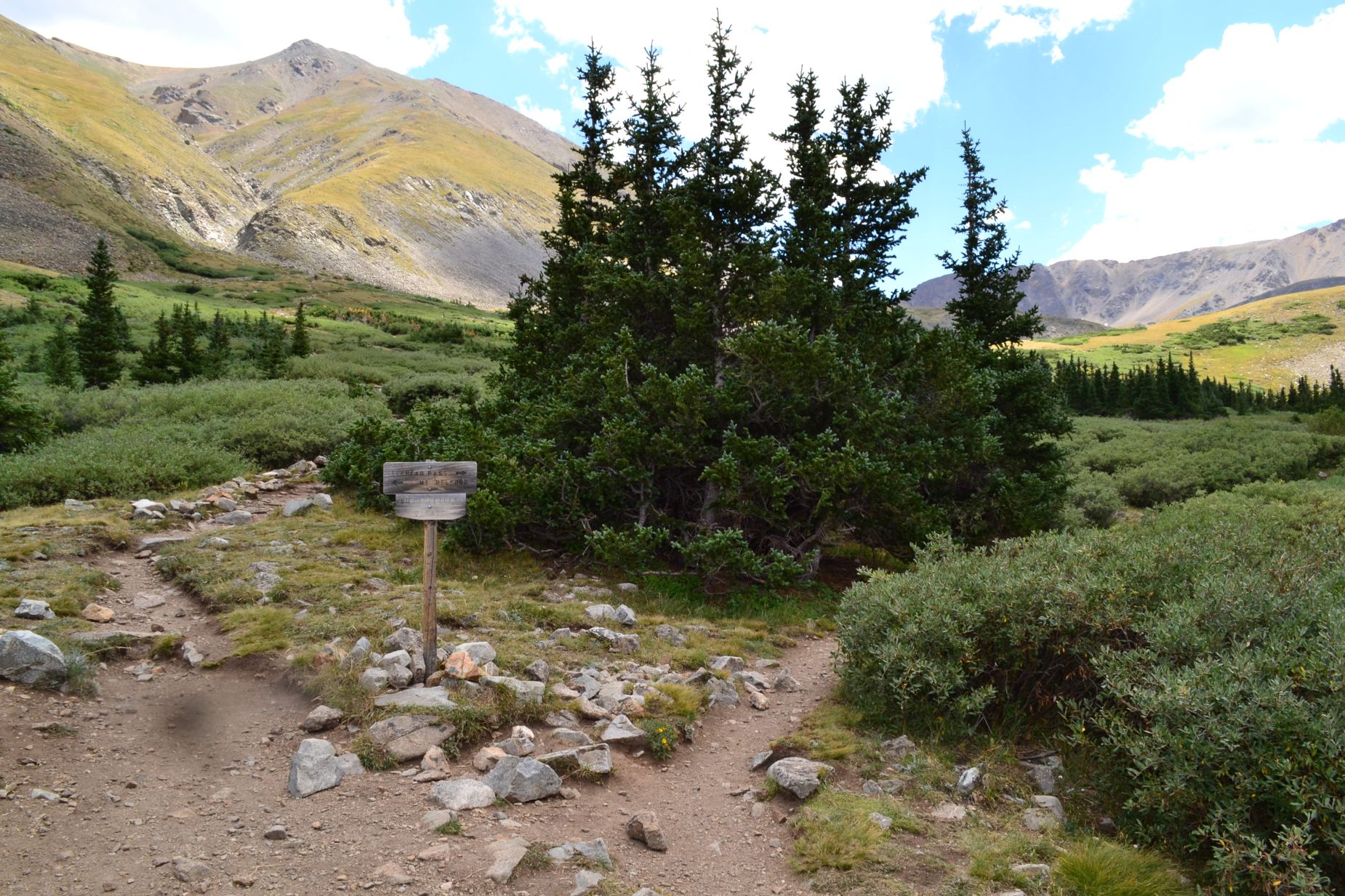
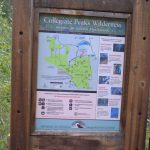
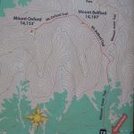
We dressed for the trail and had a quick breakfast of carbs (cheese danish or muffin anyone?) and headed out in cold morning air. We reached the trail head in about 35 minutes, and it was already full of cars by 6:00 am. We found a nearby spot on the side of the road just outside the main parking area and began our journey. The Missouri Gulch TH is very popular during the summer as it is not just the start for one 14er, but three. All hikers follow the Missouri Gulch trail for approximately 2.1 miles before the trail splits. Most hikers (based on data from the Colorado 14ers Initiative) choose to veer left and head up the steep but short trail to summit Mt. Belford and Oxford while the rest continue right to the Elkhead Pass trail that leads towards Missouri Mountain. Seen below are photographs from the start of our journey as we passed through the steep forested switchbacks. There were a few river and creek crossing to navigate on this hike.
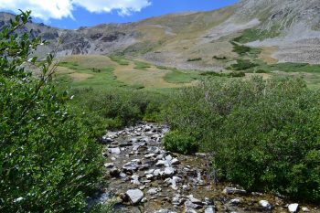
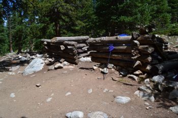
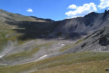
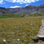
We gained a rapid amount of elevation in those first two miles, and the steepness of the switchbacks was relentless until we reached the remnants of an old cabin near 11,300 feet. At this point, we exited the forest and to our delight, the dramatic rise in elevation ceased for a while. The colorful delights of the alpine valley could not yet be revealed to us as the sun was still hidden behind the mountains. We were still cold in the early mountain air. We passed one group of hikers through this area that veered towards Mount Belford, and then we had solitude on our climb until we reached the ridge. While, it was too dark to get photographs of this area on the ascent, the photographs below show this area of the hike on our return.
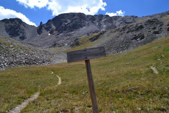
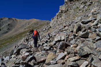
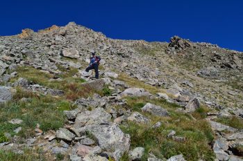
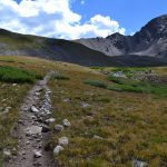
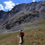
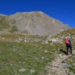
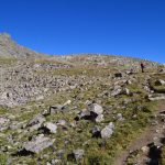
We continued to follow the trail over a creek (or two) and up a small hill to reach the Elkhead pass trail junction at 12,600′ feet. Here, we followed the sign right to Missouri Mountain. It was time to start getting more aggressive with our elevation gain now. We hadn’t studied the pictures of the summit very well prior to our summit attempt so we assumed we were hiking to a point directly above us known as Point 13,784′. As depicted by its name, that peak is not above 14,000′ feet and was not our destination. We had a nice long, ridge hike/climb to get to our summit instead. It was probably for the best that we thought we only a short distance to go. It would have been quite discouraging to realize how much further we had left at this point in the journey. The terrain began to change from a nice path to a talus and large boulders as we ascended higher. The talus slope had some slight exposure in places that normally wouldn’t have phased us one bit, except that much of this portion of the trail was slanted down the hill and filled with loose scree. We tried our best to make quick work of this section, but as we approached 13,000′ feet our lungs at a bit more work to do that slowed us down. Seen below are photos as we continued towards the saddle between Point 13,784′ and Point 13,930′.
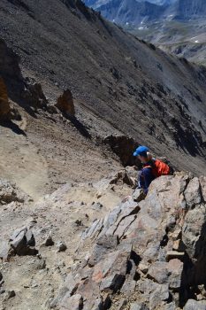
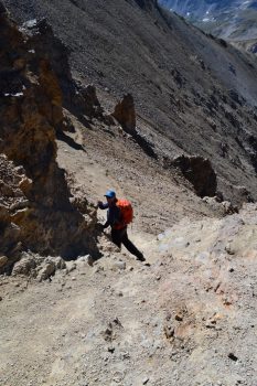
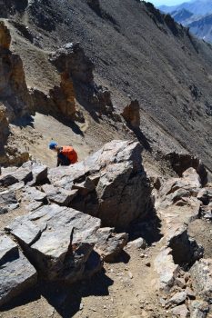
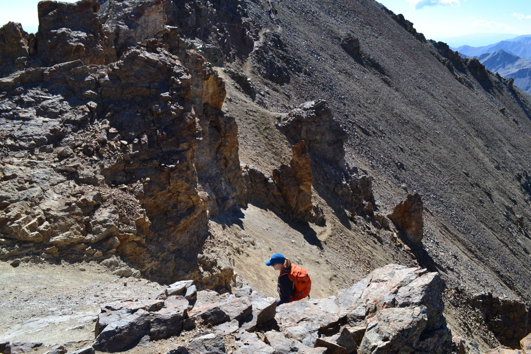
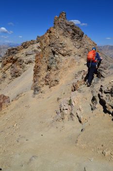
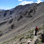
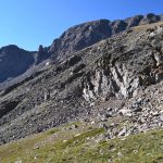
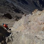
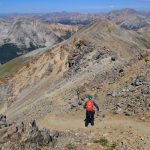
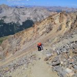
Once we reached approximately 13,700 feet at the saddle we now realized where Mount Missouri’s summit was located. We had a nice long ridge hike ahead of us (almost a mile). We followed the rough trail up and down loose scree. We would gain some elevation and then proceed to immediately lose it again. Much of the trail skirted away from the ridge proper to keep the route to class 2. As we neared the final pitch to the summit we encountered what was known as the crux of the route. To keep the level to difficult class 2, the trail drops down 20 feet from the ridge proper. On our ascent, we followed the path and down climbed a brief bit of rock to reach the steep slanted trail. While, the down climb was not problem, the terrain it led us onto was awful. The trail was very slanted and loose, and it led down a steep gully. We had to take the utmost care to cross this section without slipping. Seen below are photographs.
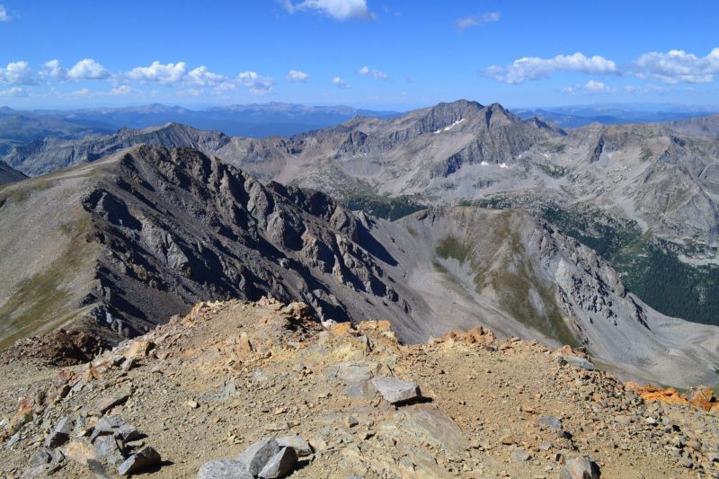
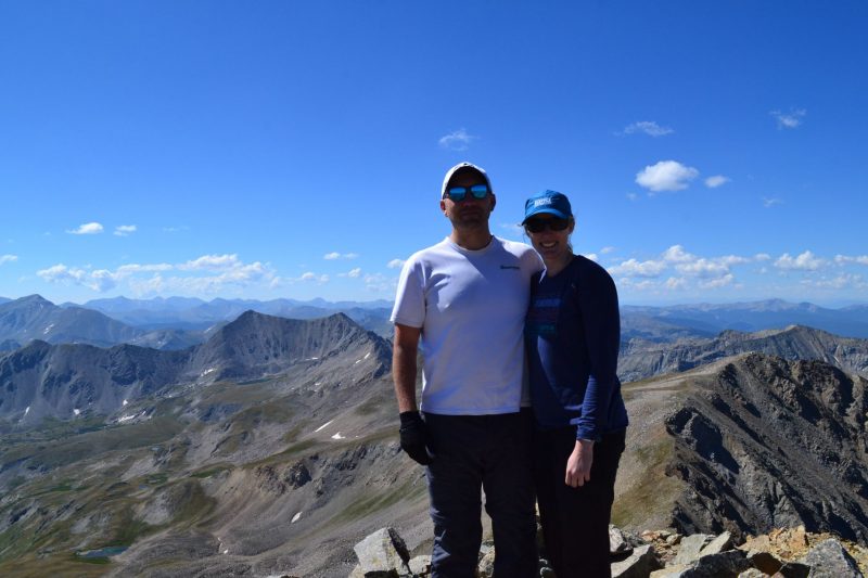
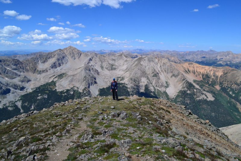
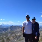
After the precarious gully crossing, we quickly climbed up the 100 remaining feet of loose steep trail to the Missouri summit. The weather was still perfect, and we enjoyed a very long, relaxing break at 14,067 feet. We chatted with a couple of hikers on the summit and took each other’s photographs. After they began their descent, we stayed a few more minutes to bask in the solitude. Seen below are photographs from the summit.
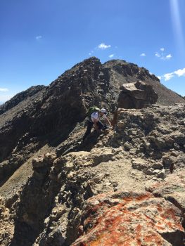
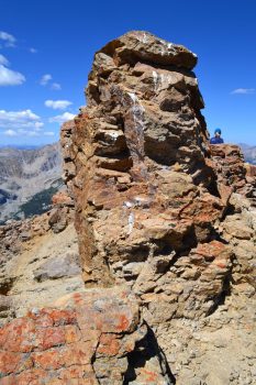
We started to head back down just after 11:00 am as we noted several other parties beginning the long ridge walk. The loose scree was much worse descending than ascending, and we had to carefully watch our footing. When we reached the “crux” of the route we opted to take the class 3 route up and over the ridge proper rather than the rotten, loose gully. The rock here was stable, and there were plenty of hand holds but there was also some exposure. Unfortunately, the “crux’ of the route seemed to cause quite a bit of bottleneck. Climbing parties both ways took their time deciding which way to go, and we had to wait a bit to get back across. A few climbers that chose the class 3 route up, took 15-20 minutes to get across what should have taken 3-5 minutes. We jokingly nicknamed this brief difficulty of the route the “Hillary step” after the infamous vertical rock face on the route of Mt. Everest that frequently forces climbers to wait there turn for inconvenient and dangerously long periods of time. Seen below are photos of the return.
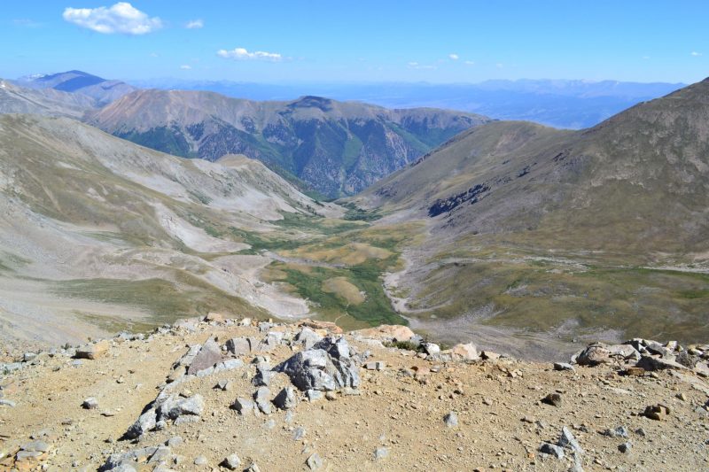
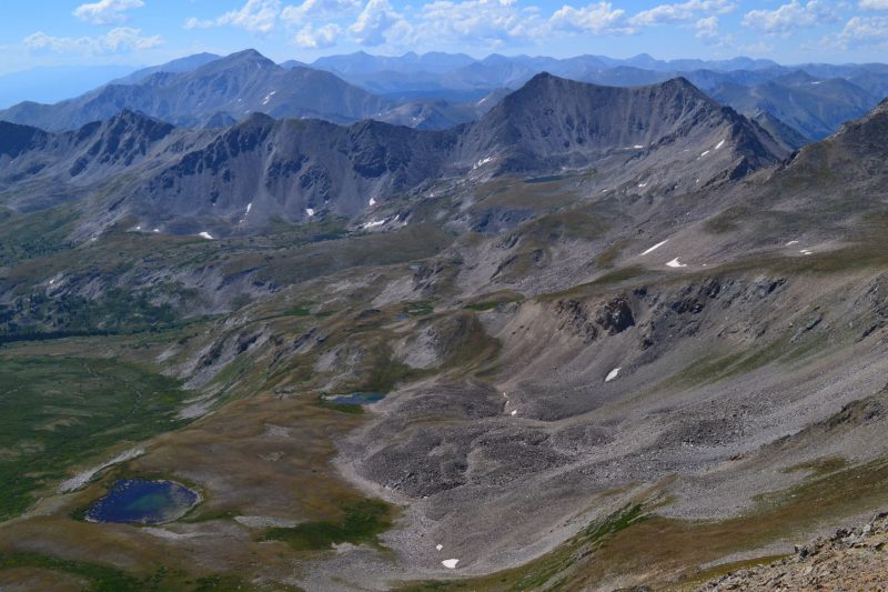
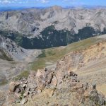
After we got over this obstacle, the scree fun resumed. It took us longer than anticipated to navigate the steep portions of the trail down the ridge. We slipped and slid back down the ridge to the saddle and began our long ascent back to the trail head.The terrain was very reminiscent of descending Mt. Bross. We briefly paused at an incredible overlook just above the saddle. Seen below is a photograph of the overlook.
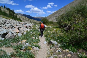
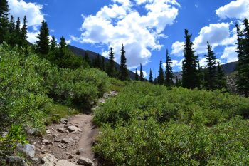
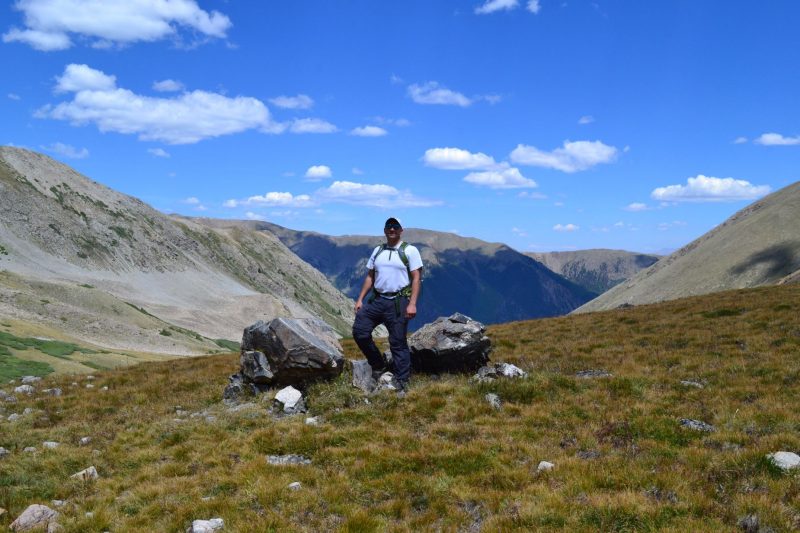
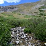
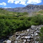
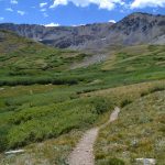
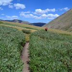
After we reached the first trail junction, we took our time on the descent and enjoyed the warm sunlight and colorful wildflowers. We were still enjoying blue skies through the valley. Seen below are photos of our descent and looking back towards towards Missouri and the ridge we had just climbed.
We reached the truck at about 2:00 pm after almost 11 miles and 4,600 feet of elevation gain on the trail. We took our time on the descent and enjoyed the wonderful, calm weather. Our moving time was right around 5 hours and 30 minutes. The hike through Missouri Gulch towards the Elkhead pass trail junction was long but beautiful and allowed us to find some solitude in nature. The ridge hike that kept us hiking for almost a mile at close to 14,000 feet was interesting but tough. We would have ranked this route higher if the ridge trail didn’t consist of so much loose, steep scree. Next time we plan to come back and summit Oxford and Belford, but we will probably try this more popular route on a weekday.



The days may now be shorter as you commented on earlier but as long as you have all those happy trails ahead of you , your life will be full and long . Man, woman and nature. The ultimate partnership!
Pingback: Mount Belford (14,197 ft) and Mount Oxford (14,153 ft): Sawatch Range – Take a Walk