A Quest into the Wild
Mills Lake and Black Lake: RMNP
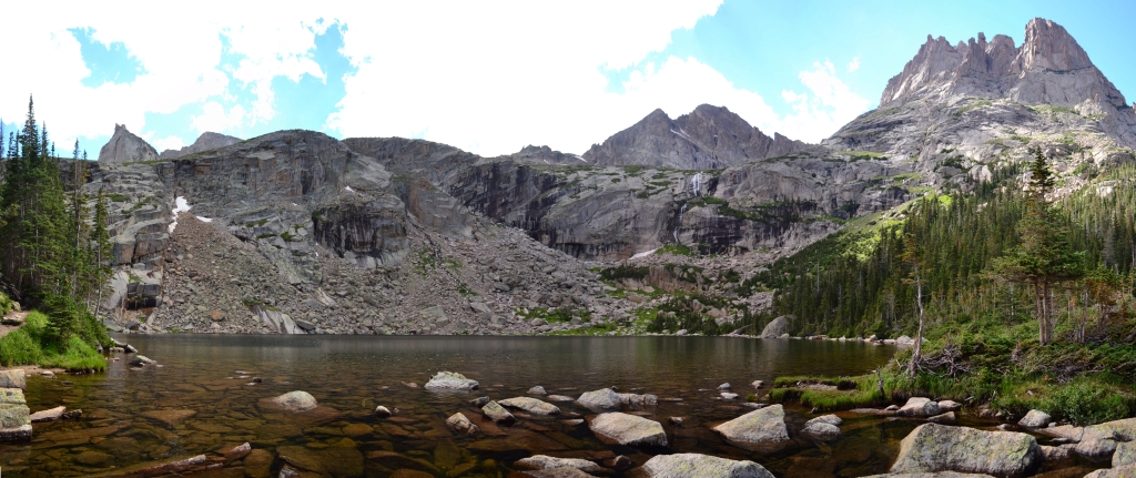
Distance: 10.6 miles (out and back and exploration) Elevation Gain: 2,367 ft (total gain) Max Elevation: 11,007 ft Min. Elevation: 9,224 ft The map on the left is our route from TH to Black Lake. The map on the right shows our route past Black Lake and displays relative locations of…
Sky Pond and more: RMNP
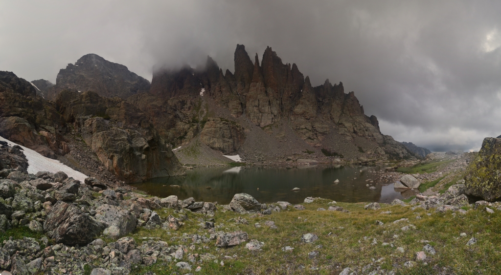
Distance: 9.73 miles (out and back) Elevation Gain: 2,405 ft (total gain) Max Elevation: 11,926 ft Min. Elevation: 9,212 ft Last summer we enjoyed a nice, long hike that led us to stops at Nymph Lake, Dream Lake, Lake Haiyaha, The Loch, Timberline Falls, Alberta Falls,…
Timberline Falls Via Loch Vale Trail: RMNP
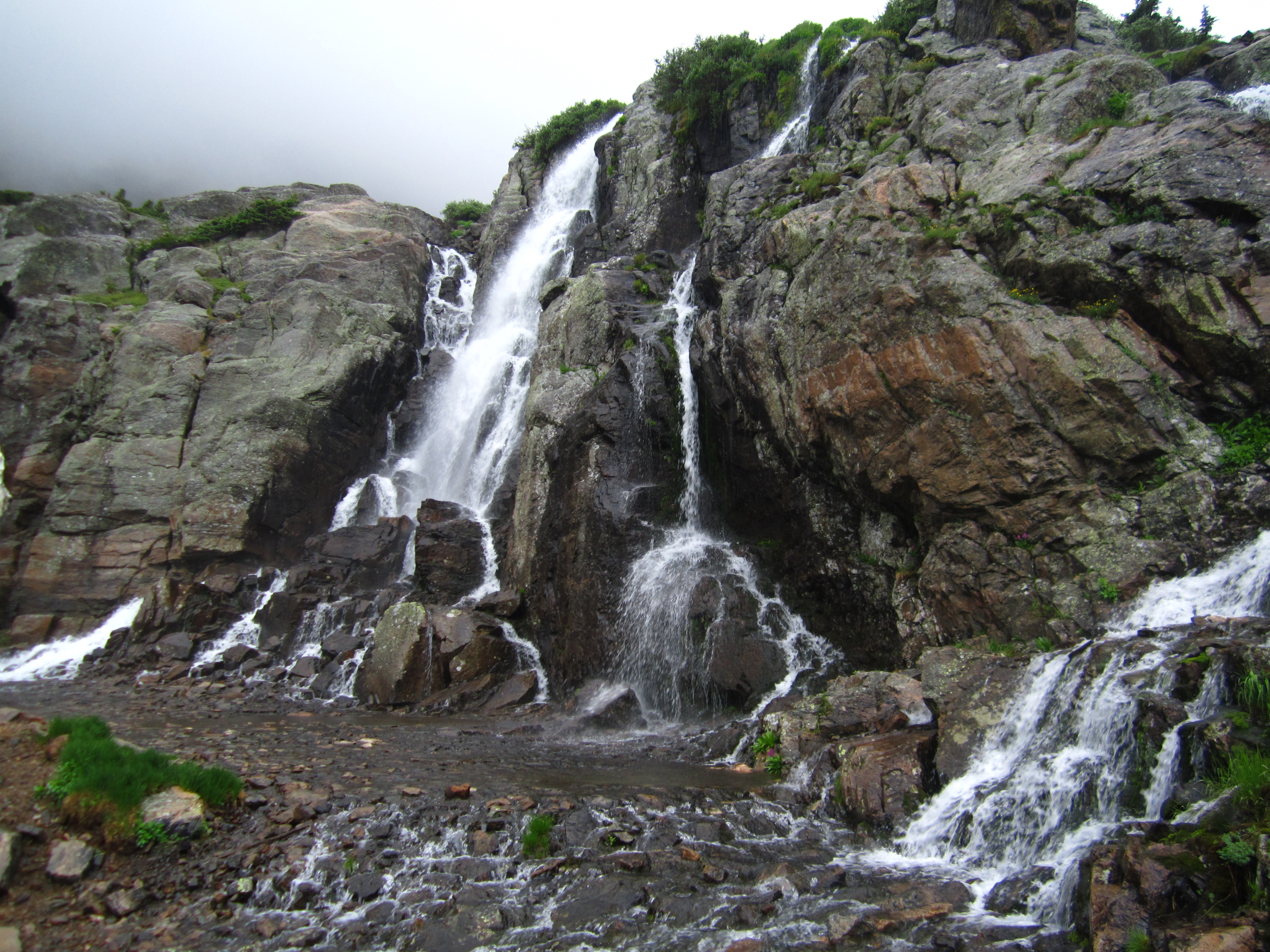
Distance: 10.02 miles (lollipop; spurs) Elevation Gain: 1,563 ft (net) 2,981 ft (total) Max Elevation: 10,798 ft Min. Elevation: 9,235 ft The weather predictions estimated a window of about 4 hours for which we would have a clear break from the pelting rain and thunderstorms that have blessed…