A Quest into the Wild
Sandbeach Lake Wild Basin: RMNP
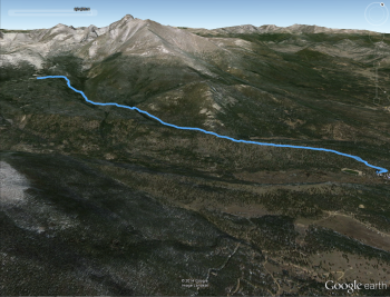
Distance: 9.03 miles (out and back) Elevation Gain: 2,097 (total) 1,984 (net)
Max Elevation: 10,348 ft Min. Elevation: 8,364 ft
This past Saturday we headed to one of our favorite spots in all of Colorado: Wild Basin in Rocky Mountain National Park. While most of the crowds head to Bear Lake or the Glacier Gorge in this park, we headed to the more southern secluded Wild Basin which is located right off of Hwy 7 just past Allenspark, CO. It tends to provide relief from packed, loud trails for the most part minus Ouzel falls which is wildly popular on a pleasant summer day. We traded an early start for extra sleep placing us on the trail at roughly 12:00 pm. The park ranger greeted us kindly and directed us into a parking space right below the Sandbeach Trailhead. Our goal for the day was to follow the 4.5 mile trail to its conclusion at the exquisite Sandbeach Lake. The unique lake rests just below the base of Mt. Orton and reaches a depth of nearly 50 ft, one of the deepest lakes in all of RMNP. Another 3,000 feet up, Mt. Meeker towers above the north shore of the lake. On a clear day, Longs Peak can be seen sneaking up behind it.
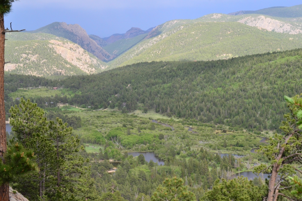
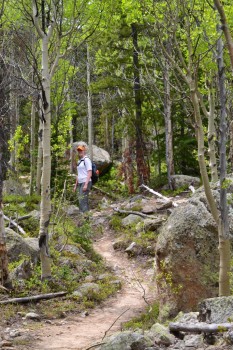
The trail gained elevation immediately, taking us through a dense forest of lodgepole and ponderosa pine and large groves of aspens. As we walked the trail the aspen leaves chimed like noiseless bells above our heads. After 1.4 miles of climbing, the trail reached a split for the Meeker Park Trail. Just after this point, the forest canopy eased up a bit and allowed us to view the North St. Vrain Creek as we edged along a rocky steep grade. Though not appreciated by all, we thoroughly enjoyed this portion of the hike. The basin was brilliantly colored. Green covered everything, and the creek ebbed and flowed among it. It was reminiscent of a Louisiana Bayou, at least from afar. Seen below are photos of this portion of the hike.
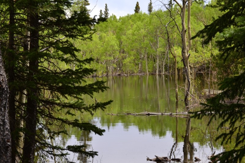
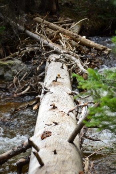
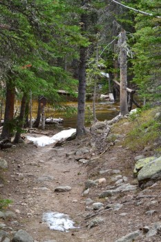
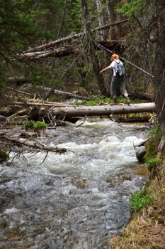
After another 0.5 miles, the trail flattened for a spell and intermittently took us through sections of sand. At 2.5 miles in, we finally reached a small creek that we heard gurgling for the last 15 min of our hike. A small foot bridge let us easily across, and shortly after we were surprised with a small lake of which we cannot find a name. It might have been the remnants of melted snow or recent heavy rains. The trail once again began to gently climb, and led us to the Hunter’s Creek Crossing. When we approached the lake, we realized the foot bridge had been washed away from the floods last fall. The water was a bit fast and deep to ford, so we searched for another way across. A large tree had fallen upriver making an alternative route, albeit requiring lots of good balance. With one foot in front of the other and arms out by our sides, we carefully crossed and bushwacked back to the trail. Seen below are the small lake and Hunter’s Creek without a bridge.
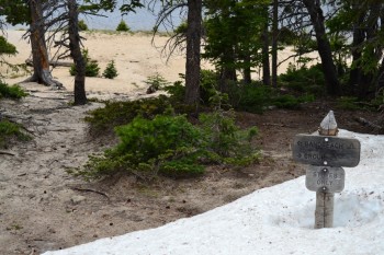
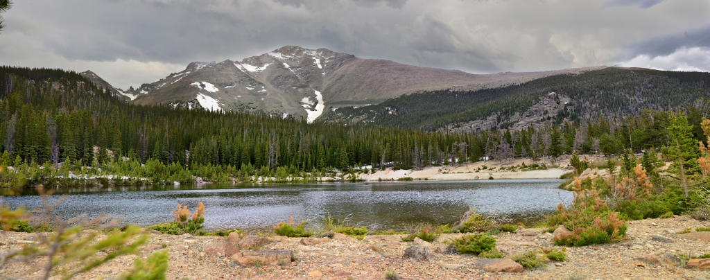
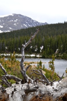
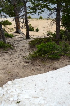
Once we crossed Hunter’s Creek, we had about one more mile to go with an elevation gain of about 500 ft to reach the beaches of Sandlake. The trail turned steep and we began to see patches of snow. And as we climbed higher, the patches of snow turned into mountains of snow. The trail was not as visible anymore. We hadn’t expected snow on this trail, and were not thrilled to be post-holing again. The last mile felt really long, Finally, we reached the north shore of the lake. Piles of snow dead ended into coarse yellow sand. The sand led to dark blue alpine lake water. It looked surreal. We tried to capture this stark contrast in the photo below.
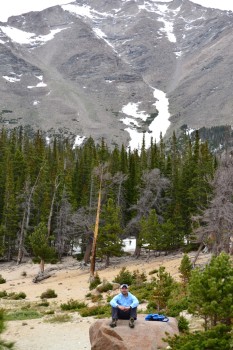
Sandbeach rightly earns its name with a wide sandy shoreline. We enjoyed walking along the beach and picknicking on a nearby boulder. Mt. Meeker loomed to the north tempting us to climb her. We caught a glimpse of Longs Peak as well. The lake was so relaxing. We wandered along a social trail to gain different views of the lake. Chipmunks scurried around us, eyeing our snacks. Seen below are photos from our time at the lake.
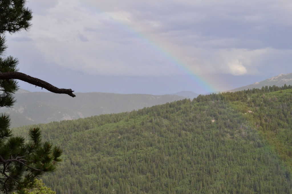
Quite honestly, it was hard to bring ourselves to pack up and head back. We saw a couple of backpackers and a campsite set up by the lake. We were really wishing we had packed our overnight gear. As a reminder that the mountains are still a harsh environment, even in June, cold gusts of wind crept up on us. The sun hid behind the clouds. We figured a backcountry camp out might actually be more comfortable in July. Our return trip, went quite a bit faster. A brief, gentle rain shower fell on us as we neared the trail head. As the sun crept out, a beautiful rainbow appeared over the St. Vrain Creek and Wild Basin.
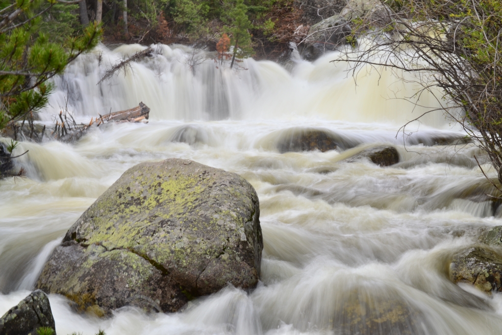
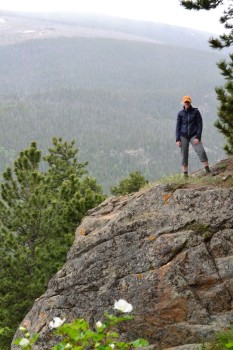
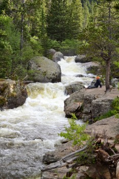
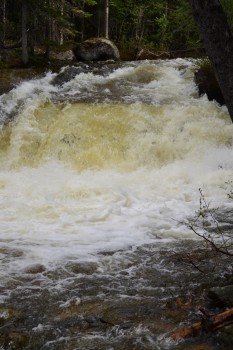
We finished the hike just after 6 pm. The sun was still out, so we drove in the park a little further to the Ouzel Falls trailhead to get a few photographs of the powerful Calypso Cascades. We hiked in about 0.5 miles to reach the upper and lower cascades. The trail was empty. We had the falls to ourselves.
The temperatures dropped as the sun set and hunger set in. We drove into Lyons, Colorado, and finished our day adventure at the original Oscar Blues Brewery.
Dear Allyson and Thomas,
I have been enjoying your adventure, thank you for sharing. Wish I could join you guys.
Take care,
Sheanny
No amount of money could convince me to cross over the river on that log!
So beautiful. Charmaine, like you no money in the world would make me cross that river.