A Quest into the Wild
Finch and Pear Lakes via Allenspark Trailhead: Wild Basin RMNP
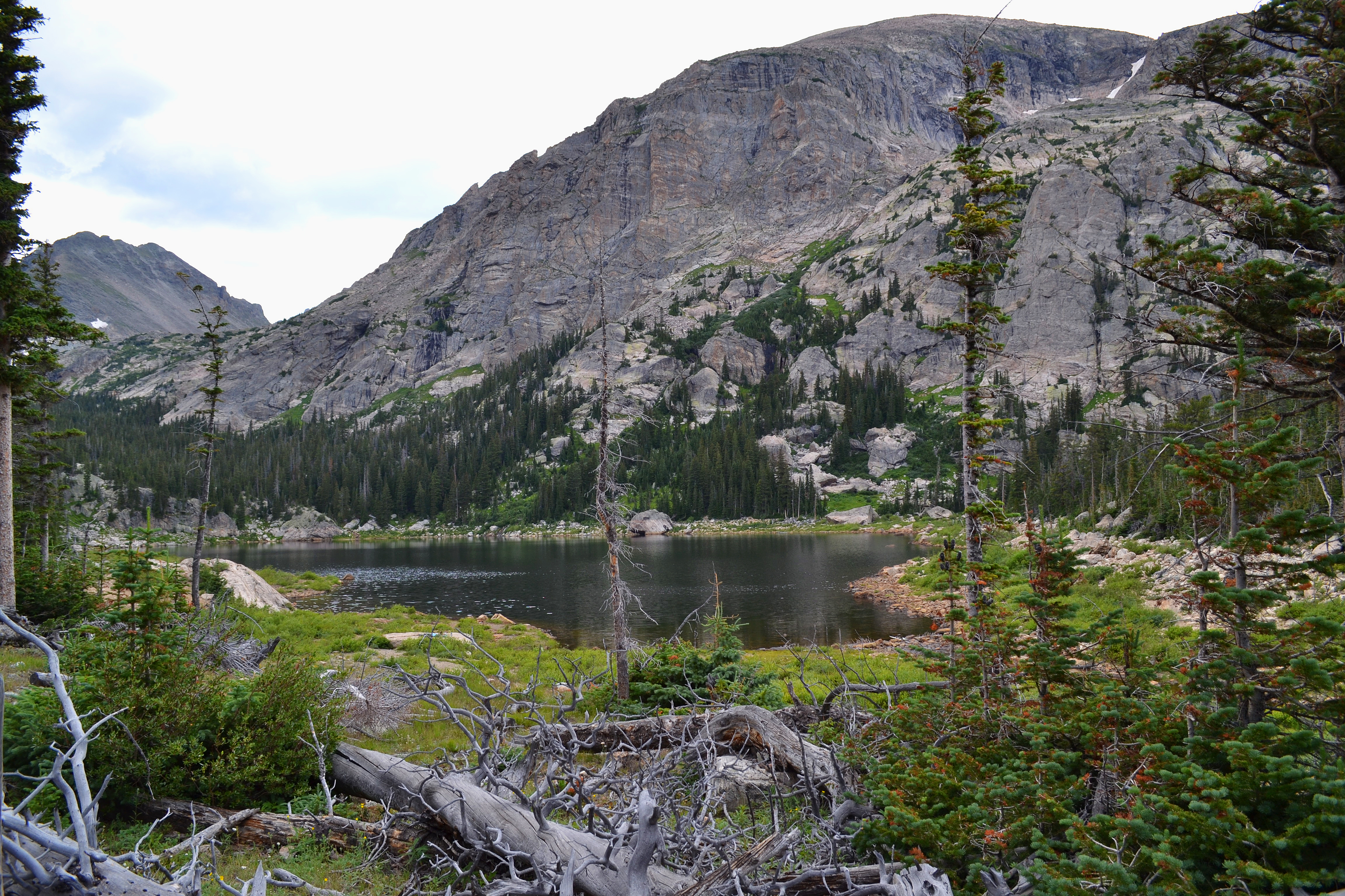
Distance: 11.54 miles (out-and-back) Elevation Gain: 2,618 ft (total) 1,695 ft (net) Max Elevation: 10,598 ft Min. Elevation: 8,903 ft While torrential downpour flooded plains and mountains alike and funnel clouds were spotted sporadically above Boulder and Denver on Saturday, we somehow found a refuge from all of the terrible weather…
James Peak via St. Mary’s Glacier Trailhead: 13,312 ft
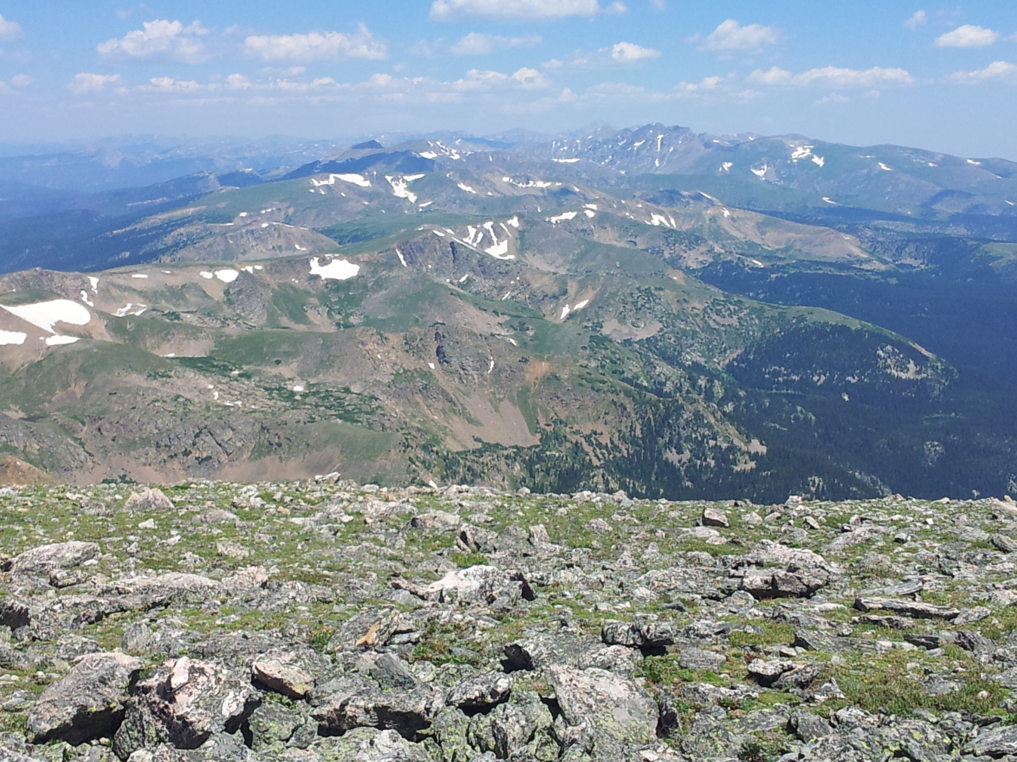
Distance: 8.60 miles (out and back; spurs, exploring) Elevation Gain: 3,203 ft (total) 2,922 ft (net) Max Elevation: 13,312 ft Min. Elevation: 10,390 ft “Every mountain top is within reach if you just keep climbing.” Barry Finlay, “Kilimanjaro and Beyond” While we visited St. Mary’s Glacier in early Spring, it was…
Timberline Falls Via Loch Vale Trail: RMNP
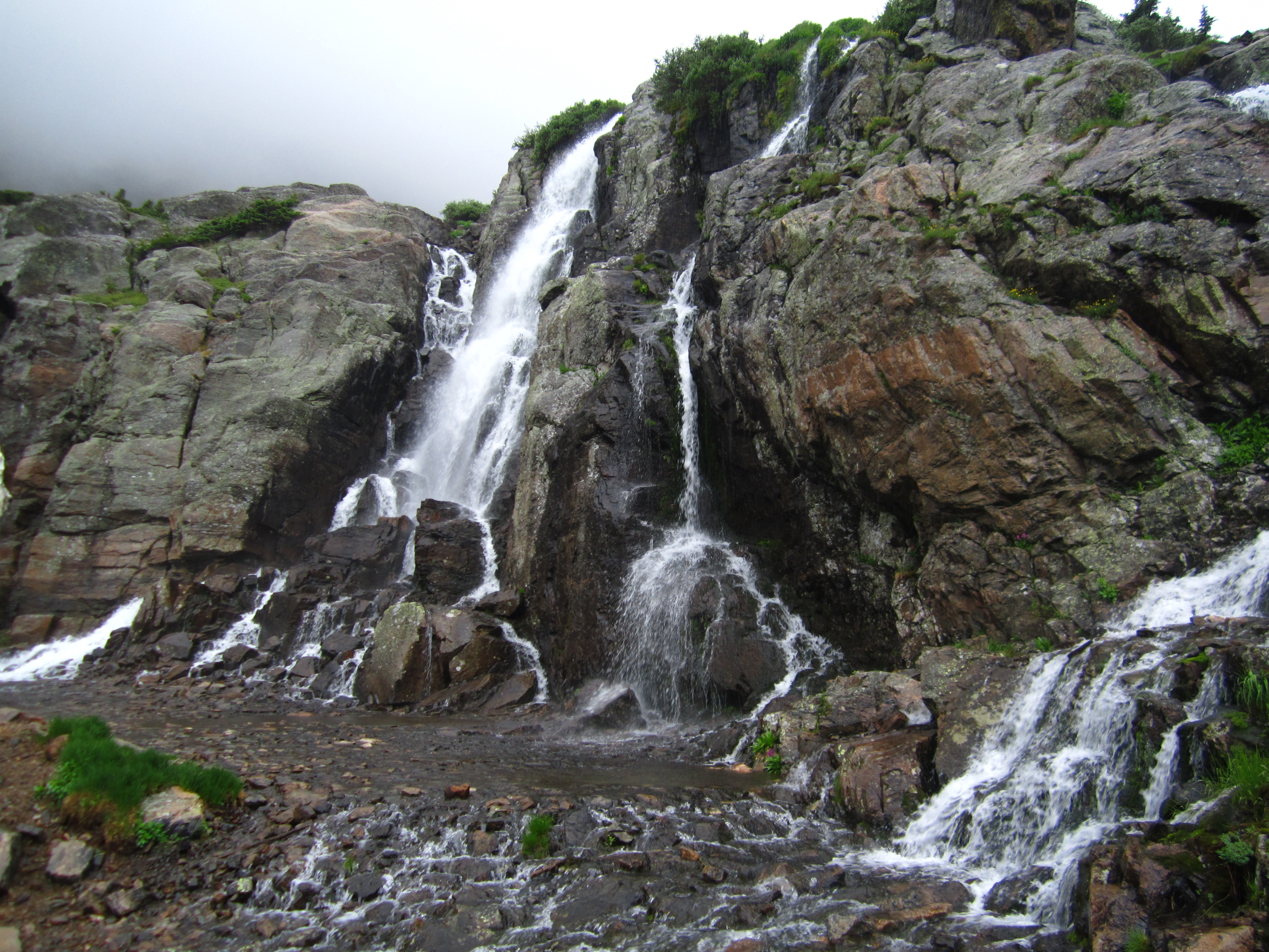
Distance: 10.02 miles (lollipop; spurs) Elevation Gain: 1,563 ft (net) 2,981 ft (total) Max Elevation: 10,798 ft Min. Elevation: 9,235 ft The weather predictions estimated a window of about 4 hours for which we would have a clear break from the pelting rain and thunderstorms that have blessed…
Ouzel Falls and Lake: Wild Basin
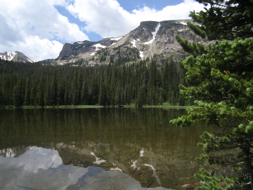
Distance: 11.13 miles (out-and-back; spurs) Elevation Gain: 1,702 ft Max Elevation: 10,033 ft Min. Elevation: 8,517 ft For our Fourth of July celebration, we thought what better way to celebrate than by exploring a little bit more of the country on foot. Thus, early on Independence Day morning…