A Quest into the Wild
Mount Bierstadt – Sunset Hike June 25th 2016
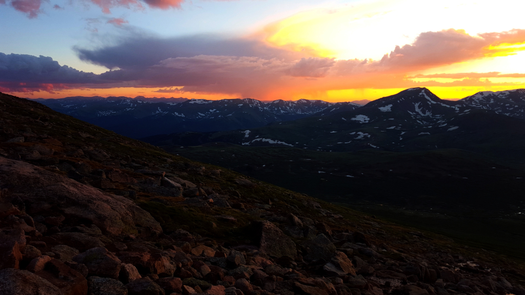
Will’s friend Julian came up from New Jersey and was excited about the prospect of getting into the Rockies. After talking about possibilities, Will and Julian decided they wanted to go camping on Guanella Pass and possibly climb Mount Bierstadt. We are always up for some camping…
Humboldt Peak, East Ridge, 14,064 ft
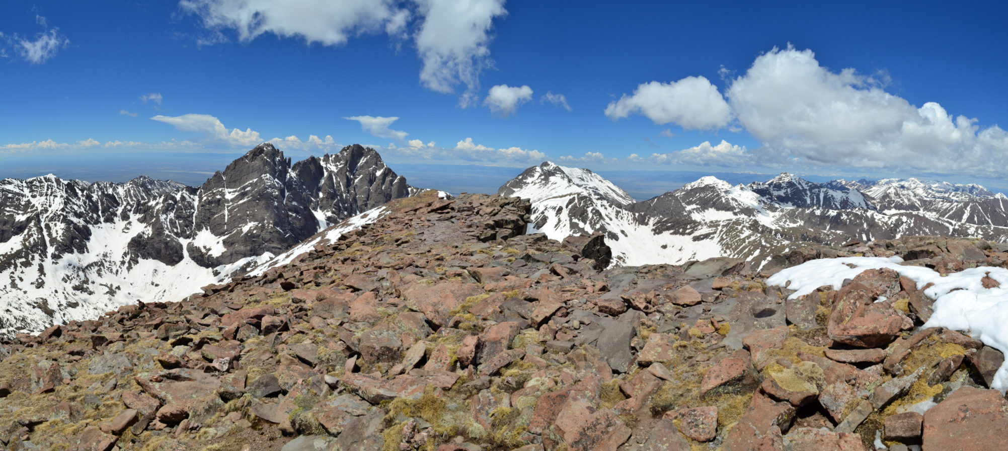
Distance: 8.7 miles (out and back) Average Slope: 20% Max Slope: 42-45% Fourteener #15 Elevation Gain: 4,337 ft. (net) Max Elevation: 14,064 ft. Min. Elevation: 9,727 ft. Average Elevation: 11,755 ft. Close-up of our route on the east ridge on the left; and a view of the entire route…
Mount Massive via Southwest Slopes: 14,421 ft
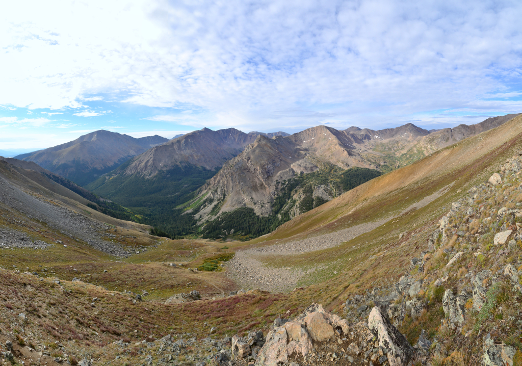
Distance: 8.06 miles (out and back) Elevation Gain: 4,037 ft. (net) Max Elevation: 14,421 ft. Min. Elevation: 10,384 ft. 14er # 13 We drove once again into the land of the gentle giants a mere 6 days later to tackle our next objective in the Sawatch Range, Mount Massive. Massive…
Mount of the Holy Cross via the North Ridge Route
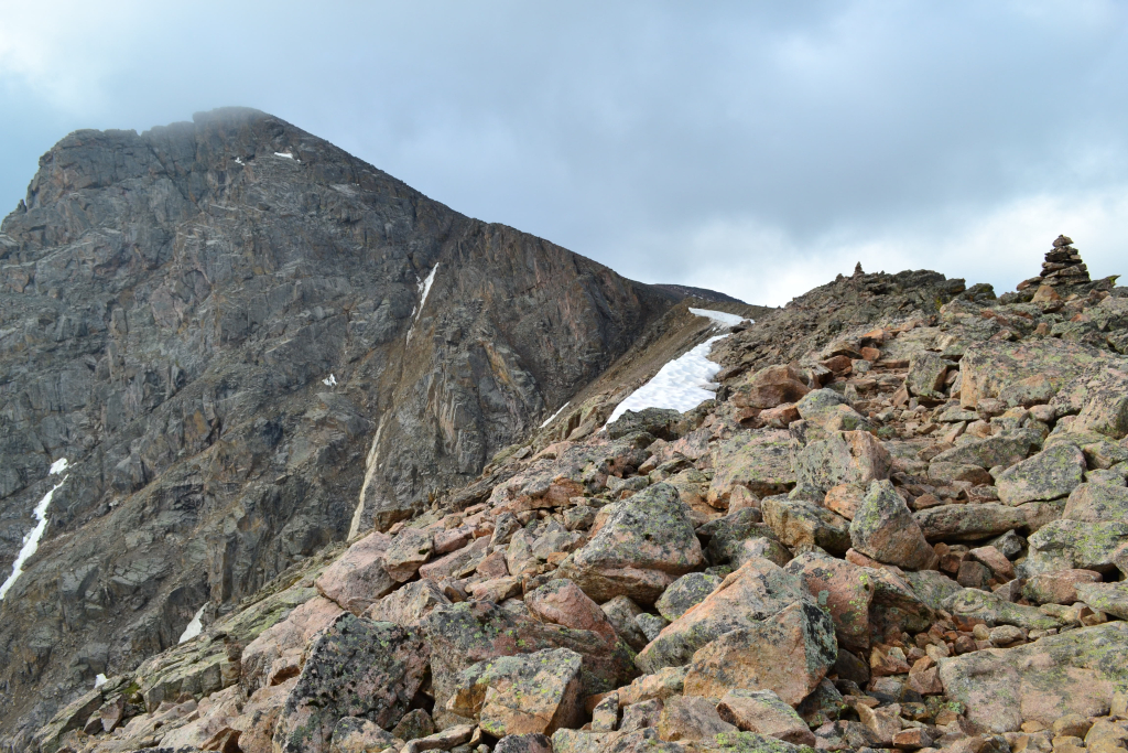
Distance: 12 miles (out and back) Elevation Gain: 5,649 ft. (total) Max Elevation: 14,005 ft. Min. Elevation: 10,311 ft. For years, rumors circulated that a natural cross could be found deep in the rugged back country of Colorado. Until photographer W.H. Jackson produced the famous photograph in his geographical survey expedition…