A Quest into the Wild
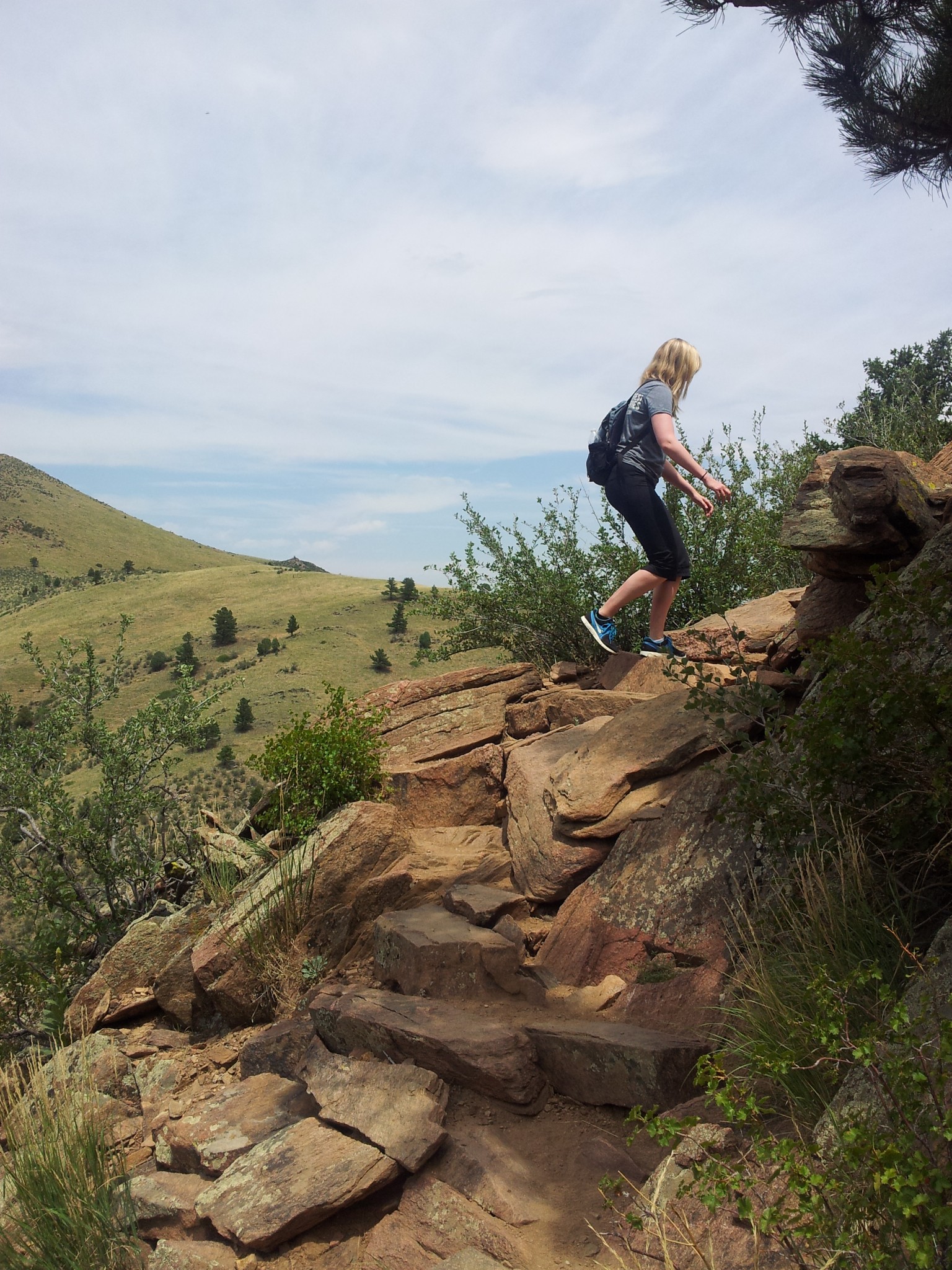
Mt. Galbraith Park Loop: Golden, CO

Distance: 4.34 miles (lollipop; exploring) Elevation Gain: 1,264 ft (total) 950 ft (net) Max Elevation: 7,228 ft Min. Elevation: 6,278 ft “Keep Calm and Hike On” Hiking Aphorism While so many of our hikes have taken us into high elevation, critters of the slithering kind have been placed in the backs…
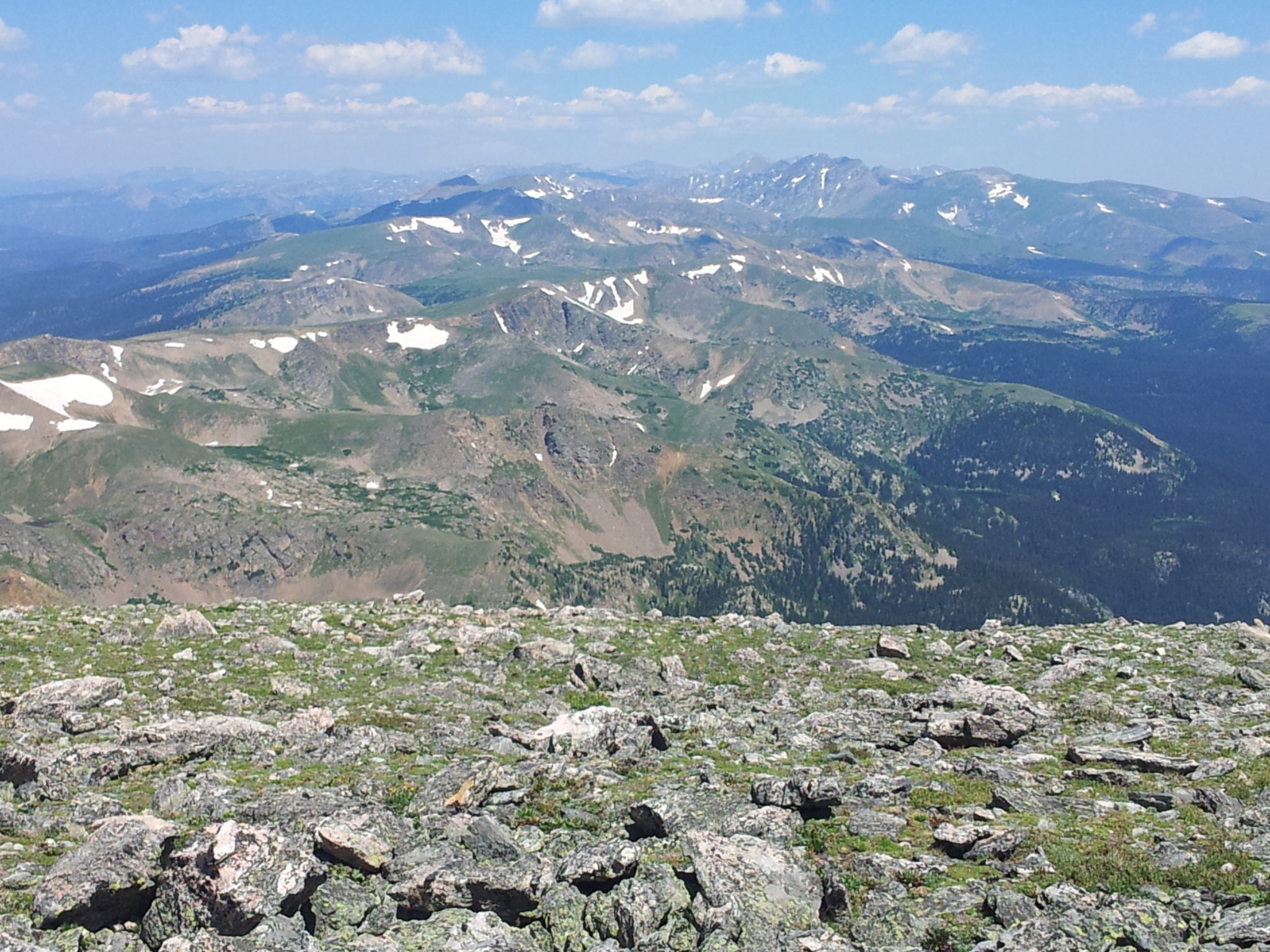
James Peak via St. Mary’s Glacier Trailhead: 13,312 ft

Distance: 8.60 miles (out and back; spurs, exploring) Elevation Gain: 3,203 ft (total) 2,922 ft (net) Max Elevation: 13,312 ft Min. Elevation: 10,390 ft “Every mountain top is within reach if you just keep climbing.” Barry Finlay, “Kilimanjaro and Beyond” While we visited St. Mary’s Glacier in early Spring, it was…
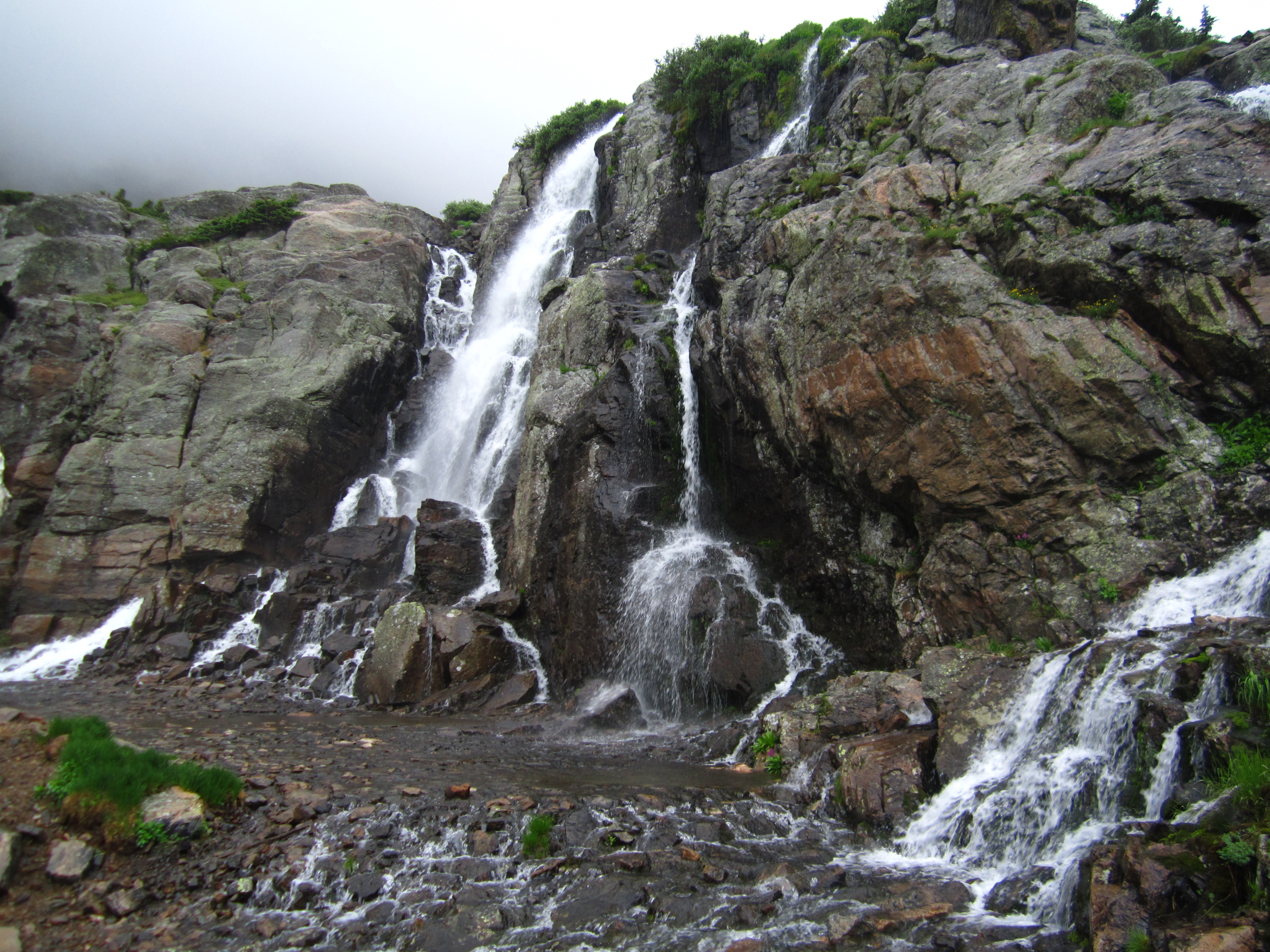
Timberline Falls Via Loch Vale Trail: RMNP

Distance: 10.02 miles (lollipop; spurs) Elevation Gain: 1,563 ft (net) 2,981 ft (total) Max Elevation: 10,798 ft Min. Elevation: 9,235 ft The weather predictions estimated a window of about 4 hours for which we would have a clear break from the pelting rain and thunderstorms that have blessed…
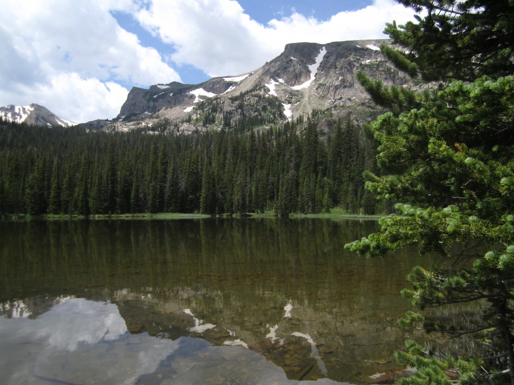
Ouzel Falls and Lake: Wild Basin

Distance: 11.13 miles (out-and-back; spurs) Elevation Gain: 1,702 ft Max Elevation: 10,033 ft Min. Elevation: 8,517 ft For our Fourth of July celebration, we thought what better way to celebrate than by exploring a little bit more of the country on foot. Thus, early on Independence Day morning…