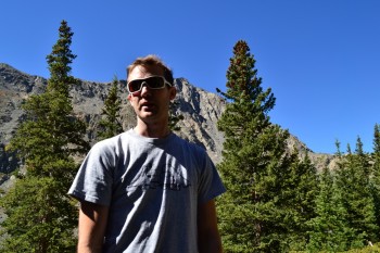
A few weeks ago (Sept. 12) with New Jersey and Texas friends alongside our usual gear in the truck, we made our way back to Breckenridge, a quaint but beloved town nestled in the Tenmile Range. Breckenridge is home to worldclass skiing, amazing hikes, and of course the famed 14er Quandary Peak of which we tackled earlier this summer. In addition to getting some fun mountain biking in, we opted to take a hike and enjoy the bluebird day and perfect temperatures which are common for September in the mountains. Instead of joining the crowds of people heading up to tag the summit of Quandary, we kept driving on McCullough Gulch Rd past the Quandary Trailhead for another 3 miles until we reached the entry point for McCullough Gulch.
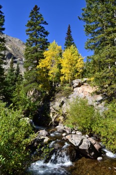
McCullough Gulch is located on the northern side of Quandary Peak. The McCullough drainage system offers access to several glacial lakes and spectacular waterfalls. The standard route which leads to the White Falls and the first lake, Upper Blue Reservoir is approximately 2.8 miles RT. While the trail boasts amazing sites in such a short distance, it should be noted that the trail gains over 800 feet in elevation to reach the lake and begins at an elevation of about 11,100 ft. This can result in a moderately tough climb if not properly acclimated.
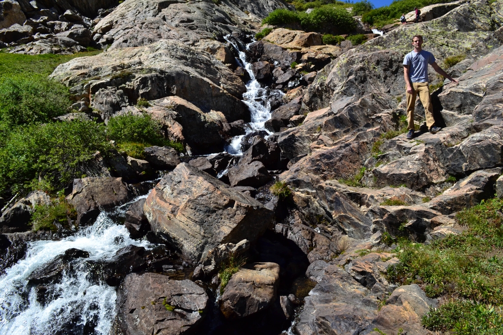
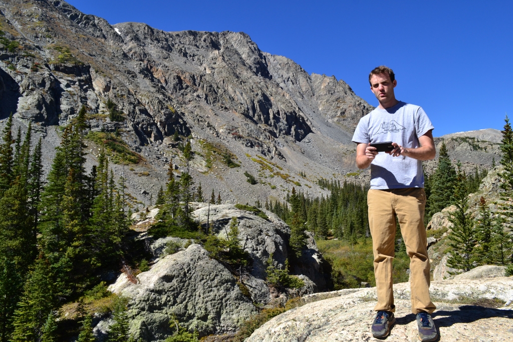
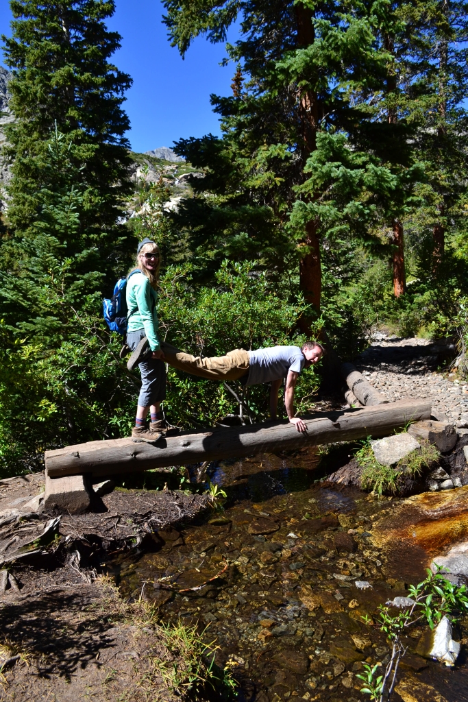
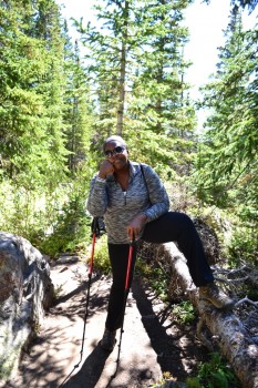
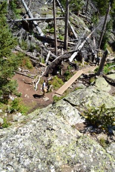
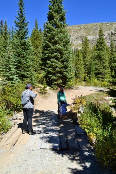
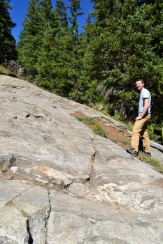
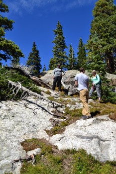
The road leading up to the TH was quite rough. While it is possible for a 2WD car to get up there, it may not be a pleasant experience. There was at least one spot where we were very thankful to have high clearance. The road dead ends at a locked gate. Parking is available alongside the dirt road leading up to this gate. The first 0.5 mile of the trail follows an old mining road and immediately begins to gain elevation. Seen below are photos of the crew getting started and our first waterfall crossing.
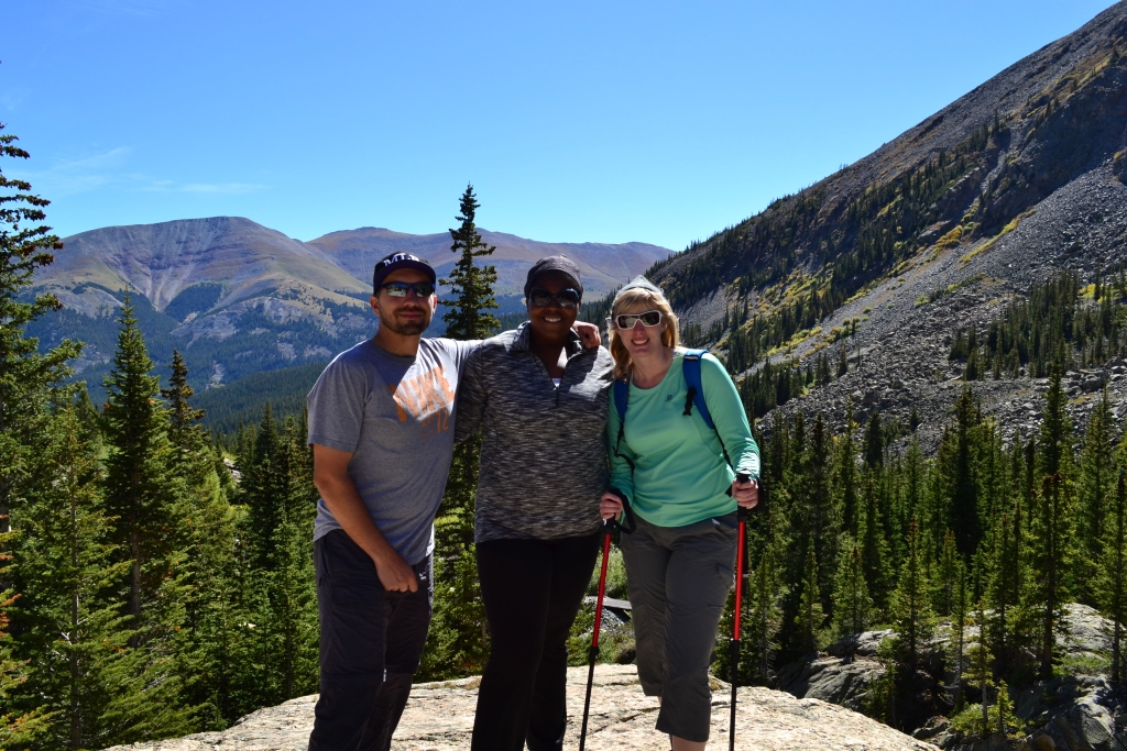
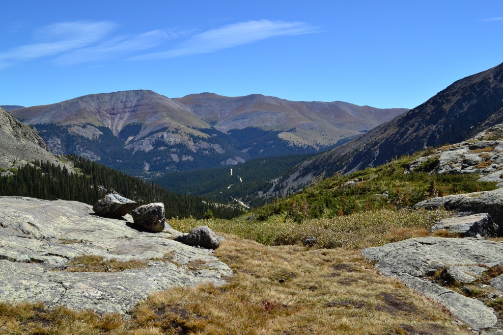
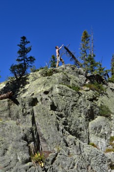
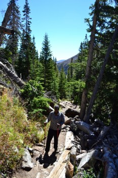
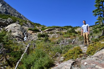
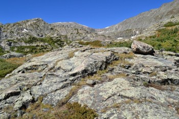
We passed an old mining/construction site and building before reaching a rocky outcrop that provided us with the first views of the beautiful Gulch and surrounding mountains. After this point, the trail splits off to a rugged path that quickly gains elevation. Seen below are photos of us braving the edge of a drop off for some cool pictures.
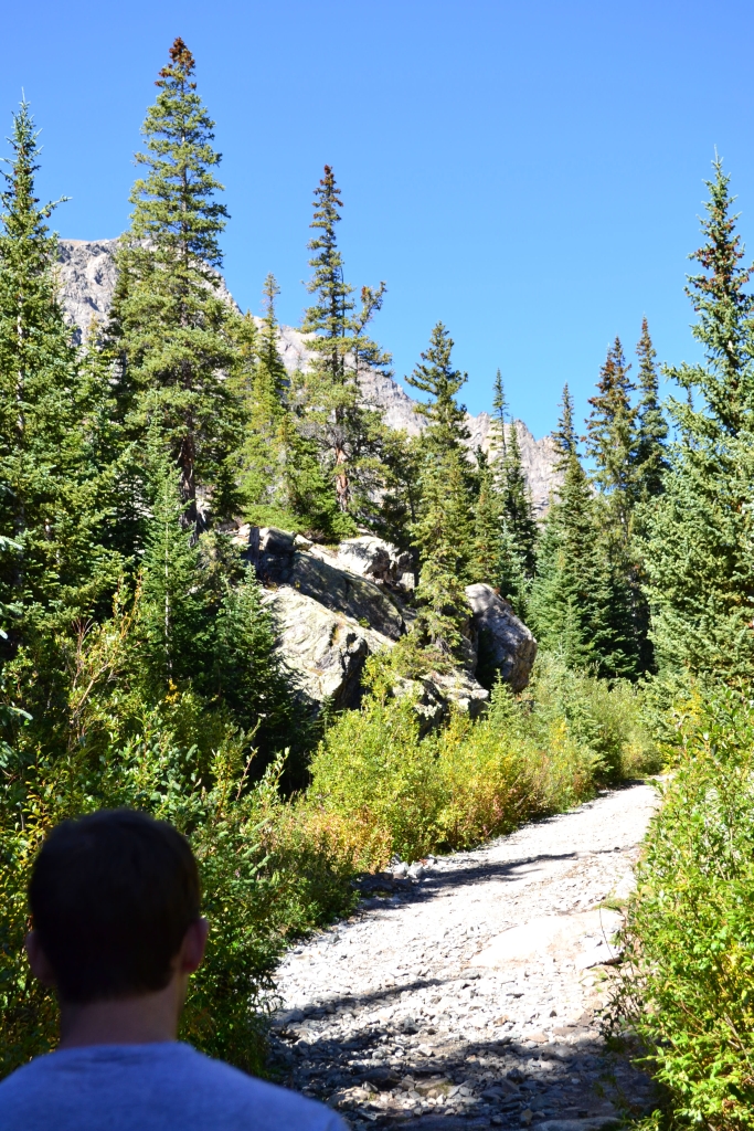
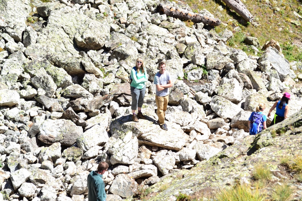
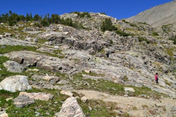
We continued up the rocky path weaving in and out of forests, dodging roots, and maneuvering around rocks until we reached a large talus field at about a mile into the hike. With careful footing, this portion was quite easy. A large stable slab of rock to the left of the trail provided a little light scramble for us along the way. Seen below are photos of the talus field and fun.
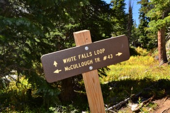
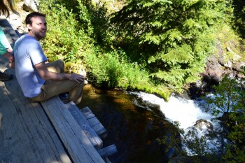
After just a few minutes of hiking past the talus field we reached a point in which the trail splits. A sign directs traffic one direction to the “White Falls Loop”. We weren’t sure what this meant at the time and opted to continue on the McCullough Gulch Trail. We later learned this was simply a social loop that leads to nice views of the falls and returns to the main trail after an additional mile. There is a short stream crossing around this area, but a nice wooden plank provides an easy crossing. Of course, in our book the easy way is the boring way…
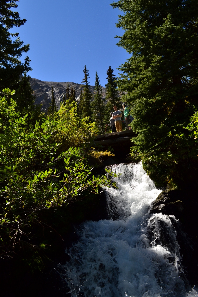
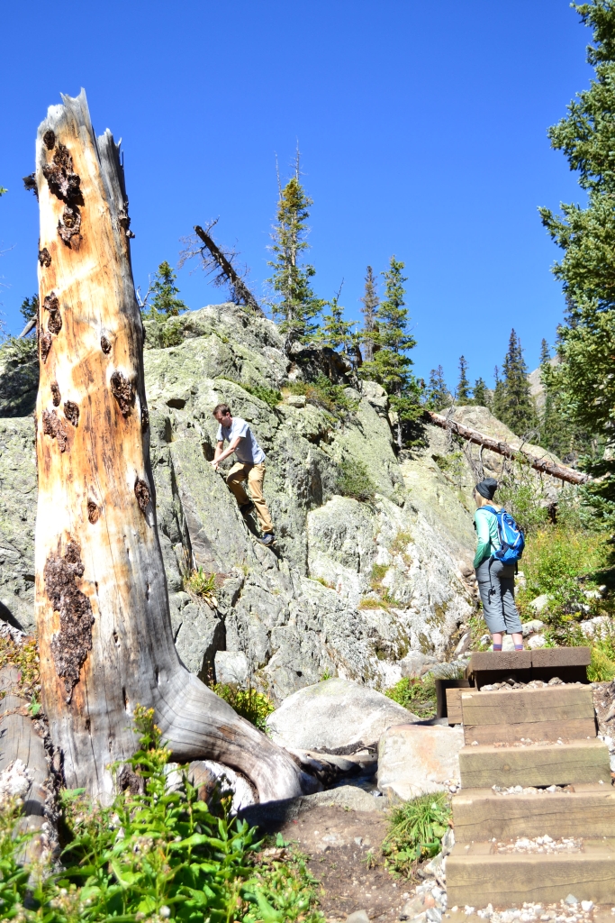
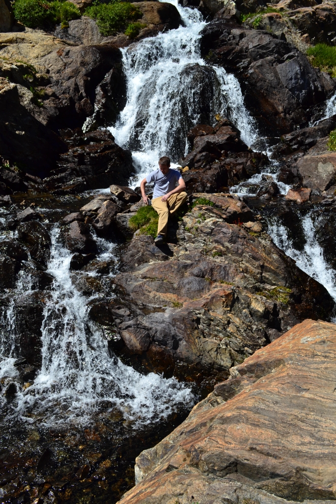
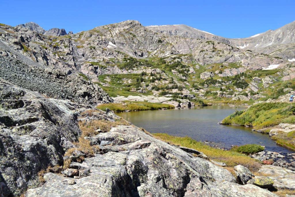
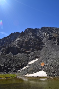
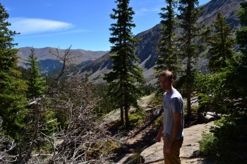
We then continued on the trail up a very steep section through dense forest before it finally opened up at the dramatic upper valley. A trail to the left leads directly to the waterfall. Staying straight on the original trail leads to the north shore of the first glacial lake. An additional bit of elevation gain is necessary to reach the lake, and it cannot be seen from the waterfall. There are additional access points to the lake in this area, and members of our group all chose to explore the area in his or her own unique way. Some of us hiked the normal route to the lake, others decided to climb up and over the waterfall.
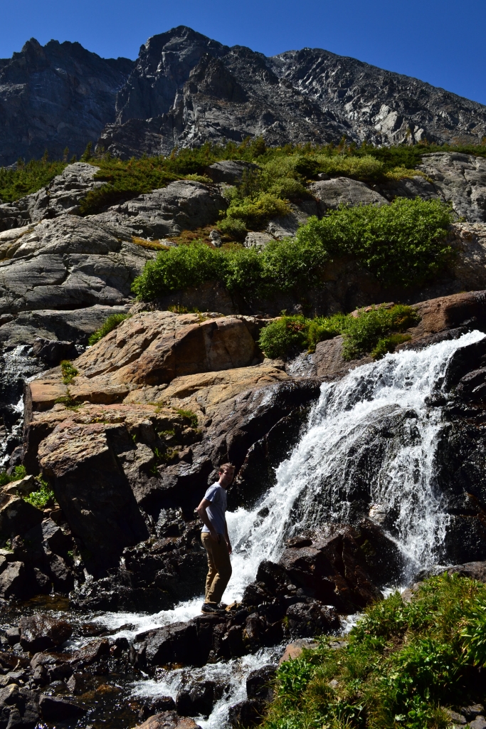
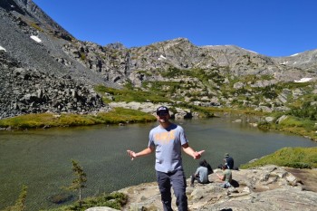
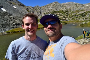
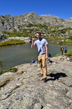
The glacial lake we were greeted with on the other side of the Falls was unique from most alpine lakes we have hiked to. It was extremely shallow, allowing for full views of its rocky bottom from several feet above the surface on the north shore. There were several hiking parties at the lake enjoying lunch. We paused for a few moments admiring the lake. Alas,Oktoberfest was calling our name, and we were ready to head back to town to partake. Seen below are photos of the lake and upper valley.
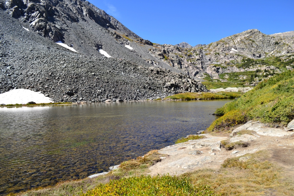

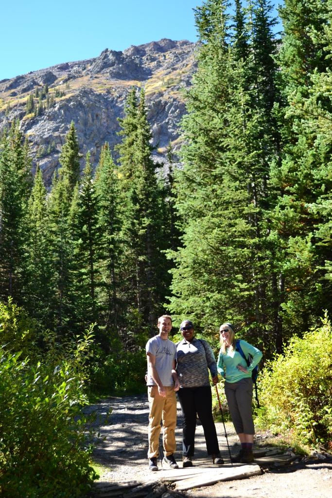
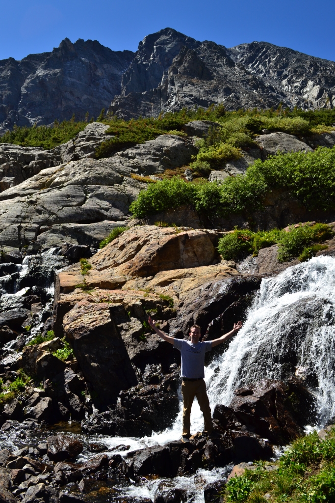
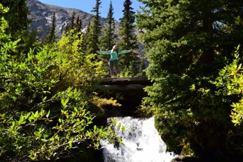
We returned the way we came, and the hike was almost uneventful. Unfortunately, Monique had a fight with the trail and the trail won leaving her with a cut and large swelled shin as a souvenir of her time in the Colorado backcountry. Thankfully, the pain wasn’t too intense, and we were all able to make it back to the car okay. Overall the hike was quite beautiful, displaying most of the natural landmarks Colorado has to offer within a 3 mile span. Plus, it’s only about 9 miles to the turn off for McCullough Gulch Rd from Main St. in Breckenridge making the TH fairly accessible if you have a decent vehicle. We’ll leave you with this photograph from the Upper Valley and a gallery of our hiking crew playing in the Valley.
Great photos and story!
I see, that your page needs fresh & unique content.
I know it’s hard to write posts manually everyday, but there is solution for
this. Just search in g00gle for: Atonemen’s tips