Distance: 9.38 miles (out and back) Elevation Gain: 4,314 ft. (total) 4,114 ft (net) Max Elevation: 14,209 ft. Min. Elevation: 10,095 ft. Winter is coming. And unlike Game of Thrones, it is actually approaching rather quickly, more so, in fact, than we would like. Having an extra day off this past Labor Day weekend, we planned one of our final summer ascents
Read More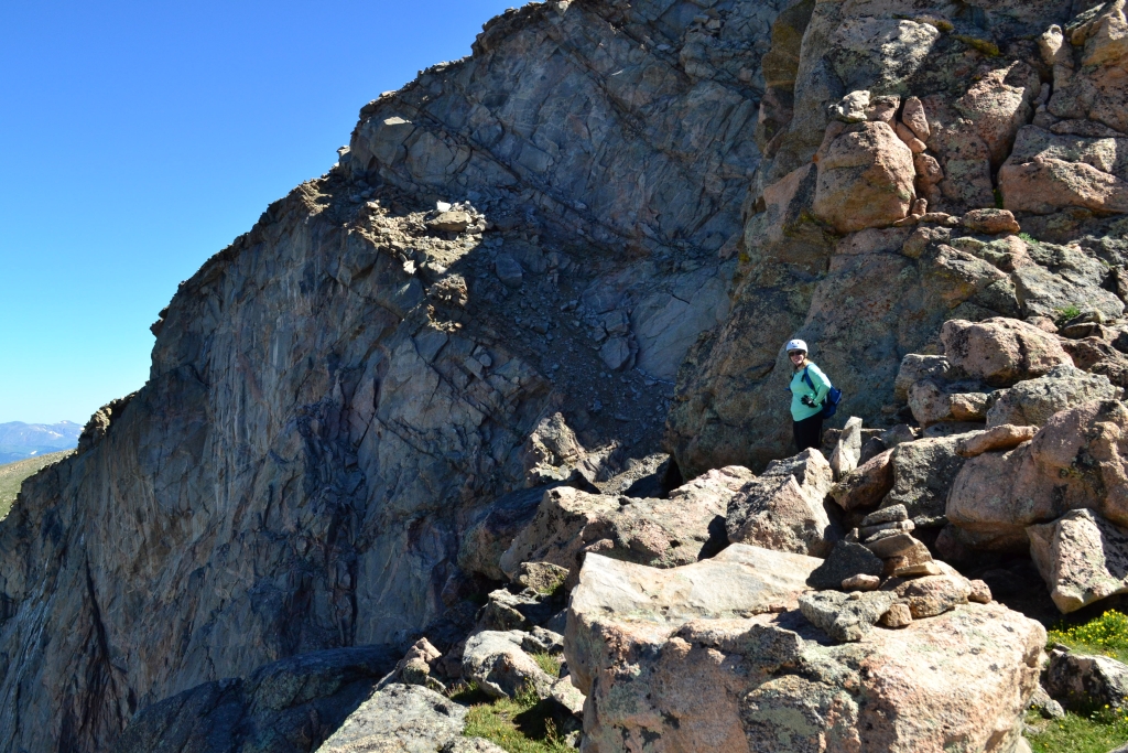
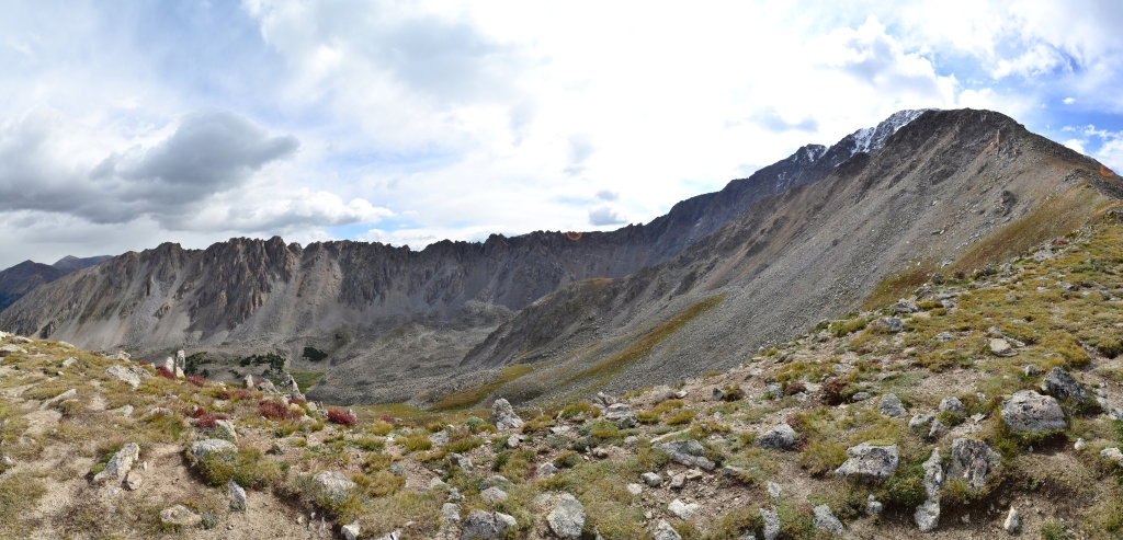
The Sawtooth (Mt. Bierstadt & Mt. Evans)
Distance: 11.2 miles (out and back) Elevation Gain: 4,335 ft (total gain) Max Elevation: 14,265 ft Min. Elevation: 11,473 ft We did Mount Bierstadt last year, that route is shown in green in the above Google Earth maps. The blue shows the new route we took to do the Bierstadt-Sawtooth-Evans combo. On the right is a closer look at the Bierstadt-Sawtooth-Evans
Read More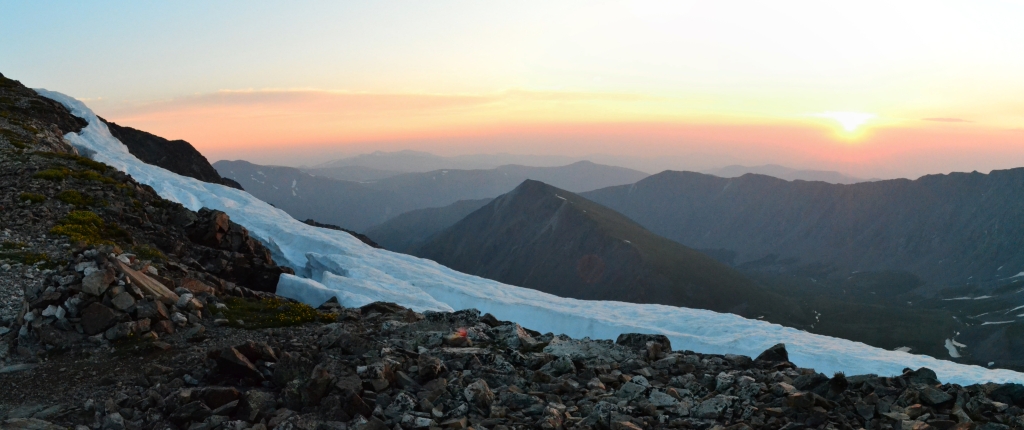
Grays and Torreys Combo (Standard Route)
Distance: 8.52 miles (out and back) Elevation Gain: 3,640 ft (total gain) Max Elevation: 14,278 ft Min. Elevation: 11,225 ft A couple of factors made us get into the X-terra at midnight, drive out to the Grays-Torreys trail-head, and start hiking to the summits at 2 in the morning. For one thing, Grays and Torreys are argued to be
Read More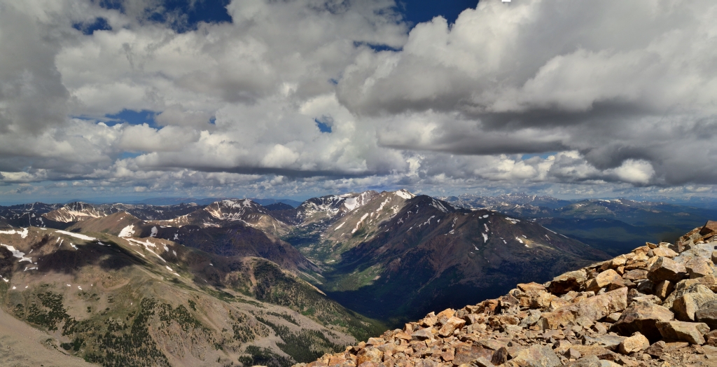
Mt. Elbert Summit: 14,433 ft
Distance: 9.62 miles (out and back) Elevation Gain: 4,408 ft (total) 4,377 ft (net) Max Elevation: 14,433 ft Min. Elevation: 10,056 ft All week long we constantly monitored Mountain Forecast for conditions atop Colorado’s highest peak, Mount Elbert, hoping for an opportunity to summit this spectacular mountain. Nestled about 115 miles southwest of Denver in the Sawatch Range, this gentle giant rests majestically
Read More